Psathonísi
Local name: Ψαθονήσι
Located in Dodecanese, South Aegean Coordinates: 37°21′03″ N 26°45′24″ E
- Elevation
- 9 m
- above sea level
- Local time
- UTC+02:00
- Europe/Athens · UTC+02:00
About Psathonísi
Psathonísi is an island. Location: Dodecanese, South Aegean.
In comparison
- 2 sights and natural places within 10 km Makronísi, Komomro Island
Nearest towns and villages
Nearby attractions & nature
Everything nearby-
Makronísi Island, Dodecanese1.1 km N
-
Komomro Island Island, Dodecanese6.7 km NW
-
Psathonísi Island, Dodecanese23 km NE
More lakes, rivers and coasts in Greece
-
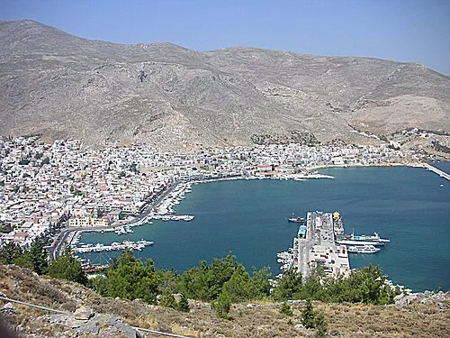 Kalimno Island Island, Dodecanese46 km SE
-
Nisída Krevvatió Island, Dodecanese60 km SE
-
Nisída Lignó Island, Dodecanese93 km S
-
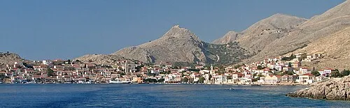 Halki Island, Dodecanese144 km SE
-
Nisída Moní Island, Dodecanese94 km S
-
Adelphae Islands Island, Dodecanese104 km S
Sources & licences
Data last updated: · 2 independent sources