Dorogháza
Located in Nógrád megye, Hungary Coordinates: 47°59′14″ N 19°54′05″ E
- Population
- 1,101
- 1.1K
- Elevation
- 230 m
- above sea level
- Local time
- UTC+01:00
- Europe/Budapest · UTC+01:00
About Dorogháza
Dorogháza is a village. Location: Nógrád megye, Hungary. Population: 1,101. Elevation: 230 m.
Dorogháza is a village in Nógrád County, Hungary, in the Mátra mountain range. The Ménkes creek flows through the settlement. As of 2022 census, it has a population of 979 (see Demographics). The village is located 2.2 km from (Nr. 84) Kisterenye–Kál-Kápolna railway line, 8.5 km from the main road 21 and 50.9 km from the M3 motorway. Although the Nemti railway stop is the closest, but public transport on the railway line ceased on 3 March 2007.
Read more on Wikipedia Text: Wikipedia contributors · CC BY-SA 4.0 · shortened
At a glance
- Area
- 17.7 km²
Source: Wikidata
In comparison
- No. 45 of 126 places in Nógrád megye by population
- Nearest larger town: Bátonyterenye, 5 km SW
- 2 sights and natural places within 10 km Lajszka, Kisterenye Ghetto
Airports nearest to Dorogháza
- Budapest Liszt Ferenc International Airport (BUD) Budapest 78 km
- Sliač Airport (SLD) Sliač 92 km
- Poprad-Tatry Airport (TAT) Poprad 123 km
Straight-line distance; airports with scheduled flights only. Source: OurAirports (public domain).
Nearby attractions & nature
Everything nearby-
Lajszka Mountain, Nógrád megye4.3 km S
-
Kisterenye Ghetto Historic site, Nógrád megye6 km NW
-
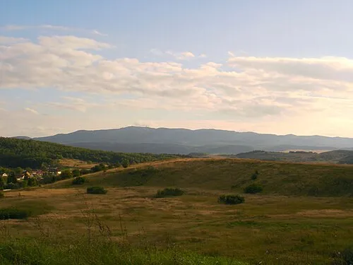 Mátra Mountain, Hungary12 km S
-
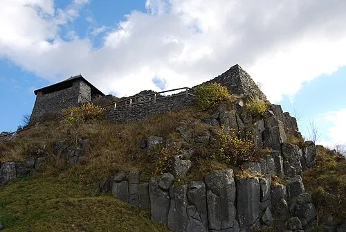 Salgó Mountain, Nógrád megye18 km N
-
Sombokor Mountain, Heves County14 km SE
-
Hármashatár-hegy Mountain, Nógrád megye18 km W
Sources & licences
Data last updated: · 2 independent sources