Ballina
Local name: Béal an Átha
Located in County Mayo, Connacht Coordinates: 54°07′00″ N 9°10′00″ W
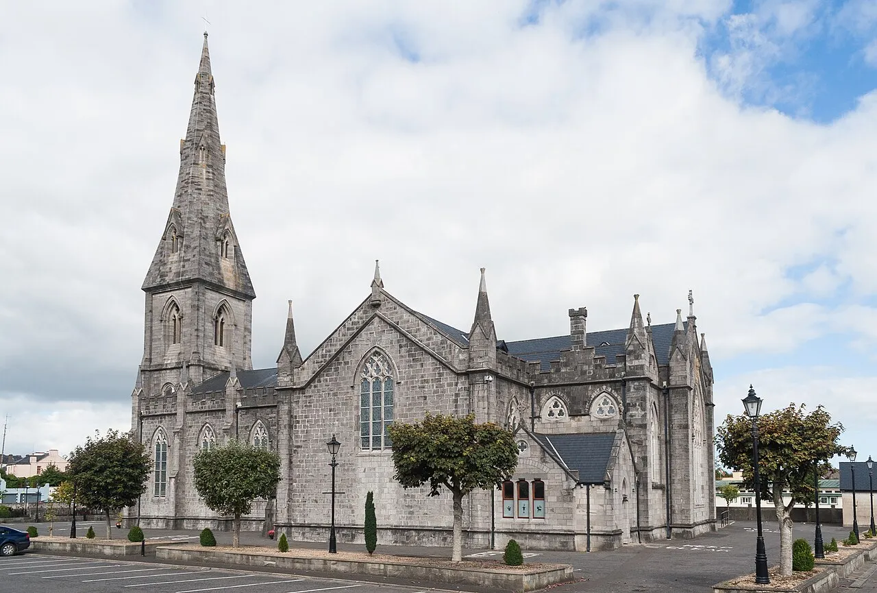
- Population
- 10,556
- 10.6K
- Elevation
- 32 m
- above sea level
- Local time
- UTC+00:00
- Europe/Dublin · UTC+00:00
About Ballina
Ballina is a town. Location: County Mayo, Connacht. Population: 10,556. Elevation: 32 m.
Ballina ( bal-ə-NA; Irish: Béal an Átha, meaning 'mouth of the ford') is a town in north County Mayo, Ireland. It lies at the mouth of the River Moy near Killala Bay, in the Moy valley and civil parish of Kilmoremoy, with the Ox Mountains to the east and the Nephin Mountains to the west. The town occupies two baronies; Tirawley on the west bank of the River Moy, and Tireragh, a barony within County Sligo, on its east banks. At the 2022 census, the population of Ballina was 10,556.
Read more on Wikipedia Text: Wikipedia contributors · CC BY-SA 4.0 · shortened
At a glance
- Area
- 29.9 km²
Source: Wikidata
In comparison
- No. 2 of 39 places in County Mayo by population
- Nearest larger town: Castlebar, 31 km S
- 25 sights and natural places within 10 km Glenree River, Belleek Castle Museum
Climate of Ballina
Best months for sightseeing: June–August.
| Month | Jan | Feb | Mar | Apr | May | Jun | Jul | Aug | Sep | Oct | Nov | Dec |
|---|---|---|---|---|---|---|---|---|---|---|---|---|
| Average high (°C) | 8° | 8° | 10° | 12° | 14° | 16° | 18° | 18° | 16° | 13° | 10° | 8° |
| Average low (°C) | 2° | 2° | 3° | 4° | 7° | 9° | 11° | 11° | 9° | 7° | 5° | 4° |
| Precipitation (mm) | 120 | 78 | 91 | 63 | 73 | 67 | 66 | 86 | 103 | 122 | 130 | 125 |
Monthly averages for 1970–2000 at about 18 km resolution, adjusted for elevation. Highlighted months are mild and relatively dry. Source: WorldClim 2.1 (CC BY 4.0).
Airports nearest to Ballina
- Ireland West Airport Knock (NOC) Charlestown 32 km
- Donegal Airport (CFN) Donegal 116 km
- Shannon Airport (SNN) Shannon 158 km
Straight-line distance; airports with scheduled flights only. Source: OurAirports (public domain).
Nearby attractions & nature
Everything nearby-
Glenree River River, County Mayo1.1 km E
-
Belleek Castle Museum Museum, County Mayo2.3 km NE
-
Cloonagh Lough Lake, County Mayo4.1 km NW
-
Rathroeen Lough Lake, County Mayo4.7 km N
-
Lough Alick Lake, County Mayo5.7 km SW
-
Rosserk Friary Historic site, County Mayo6.3 km N
-
Annaghroe Island Island, County Mayo7.6 km SW
-
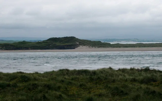 Bartragh Island Island, County Mayo11 km N
Sources & licences
Data last updated: · 2 independent sources