Ardee
Local name: Baile Átha Fhirdhia
Located in County Louth, Leinster Coordinates: 53°51′35″ N 6°32′26″ W
- Population
- 4,928
- 4.9K
- Elevation
- 27 m
- above sea level
- Local time
- UTC+00:00
- Europe/Dublin · UTC+00:00
About Ardee
Ardee is a village. Location: County Louth, Leinster. Population: 4,928. Elevation: 27 m.
Ardee (; Irish: Baile Átha Fhirdhia, pronounced [ˈbˠalʲə aːhə ˈɪɾʲjiə]) is a town and townland in County Louth, Ireland. It is located at the intersection of the N2, N52, and N33 roads. The town shows evidence of development from the thirteenth century onward but as a result of the continued development of the town since then much of the fabric of the medieval town has been removed. The town is in a civil parish of the same name.
Read more on Wikipedia Text: Wikipedia contributors · CC BY-SA 4.0 · shortened
In comparison
- No. 4 of 24 places in County Louth by population
- Nearest larger town: Blackrock, 16 km NE
Nearby attractions & nature
Everything nearby-
Mount Oriel Mountain, County Louth8.1 km S
-
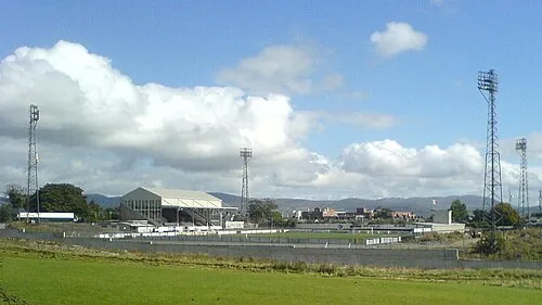 Oriel Park Landmark, County Louth18 km NE
-
 Hunky Dorys Park Landmark, County Louth19 km SE
-
Fieldstown Hill Mountain, County Louth15 km SE
-
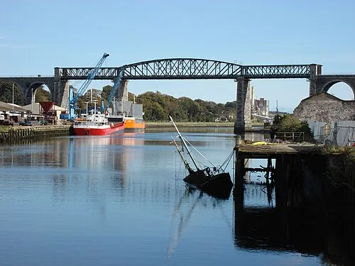 Boyne Viaduct Landmark, County Louth21 km SE
-
Knockdillon Mountain, County Louth12 km N
Sources & licences
Data last updated: · 2 independent sources