Vale of Glendalough
Located in County Wicklow, Leinster Coordinates: 52°59′59″ N 6°23′01″ W
- Elevation
- 528 m
- above sea level
- Local time
- UTC+00:00
- Europe/Dublin · UTC+00:00
- Airports
- DUB Dublin Airport48 km
- IOM Isle of Man Airport168 km
About Vale of Glendalough
Vale of Glendalough is a natural site. Location: County Wicklow, Leinster. The best months to visit are July. The nearest airport is Dublin Airport (48 km). Nearby sights include Mullacor and Lugduff East Top.
Photos of Vale of Glendalough
-
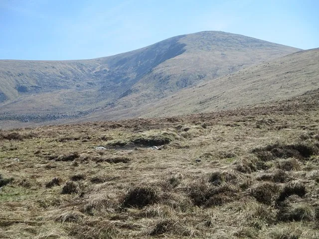
Lugnaquilla kevin higgins · CC BY-SA 2.0 -
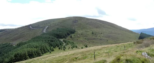
Mullacor Pampuco · CC BY-SA 4.0 -
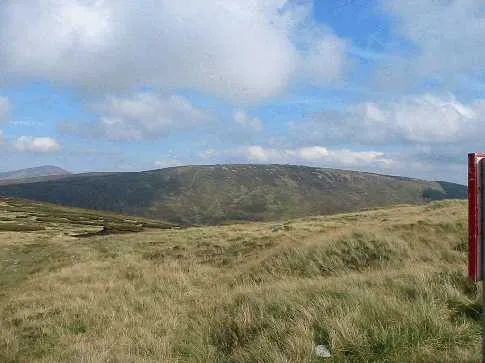
Conavalla Schcambo at English Wikipedia · Public domain -
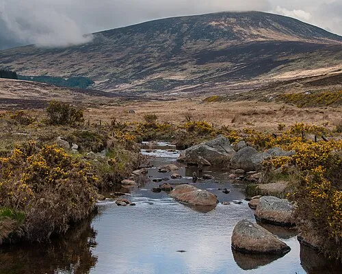
Tonelagee Joe King · CC BY-SA 3.0


Climate of Vale of Glendalough
Best months for sightseeingBest months for sightseeing: July.
This month · November
A wet month
Day 8° · Night 2° · Rain 125 mm
- Hottest month
- July (day 16°)
- Coldest month
- January (night 0°)
- Wettest month
- December (144 mm)
- Driest month
- June (77 mm)
Bars: average monthly low and high temperature. Below: precipitation. Monthly averages for 1970–2000 at about 18 km resolution, adjusted for elevation. Highlighted months are mild and relatively dry. Source: WorldClim 2.1 (CC BY 4.0).
Show values as a table
| Month | Jan | Feb | Mar | Apr | May | Jun | Jul | Aug | Sep | Oct | Nov | Dec |
|---|---|---|---|---|---|---|---|---|---|---|---|---|
| Average high (°C) | 6° | 6° | 7° | 9° | 12° | 14° | 16° | 16° | 14° | 11° | 8° | 6° |
| Average low (°C) | 0° | 0° | 1° | 2° | 4° | 7° | 9° | 9° | 7° | 5° | 2° | 1° |
| Precipitation (mm) | 143 | 108 | 105 | 85 | 96 | 77 | 77 | 99 | 116 | 133 | 125 | 144 |
Other places to visit in this season: July
How to get to Vale of Glendalough
The nearest airport is Dublin Airport (DUB), 48 km to the north as the crow flies. The nearest large city is Dublin, 38 km to the north.
Airports
- Dublin Airport (DUB) Dublin 48 kmnorth
- Isle of Man Airport (IOM) Castletown, Rushen 168 kmnortheast
- Shannon Airport (SNN) Shannon 174 kmwest
Nearby large cities
- Dublin Population: 1M 38 kmnorth
- Limerick Population: 102.3K 155 kmwest
- Belfast Population: 348K 180 kmnorth
- Cork Population: 224K 188 kmsouthwest
- Swansea Population: 300.4K 226 kmsoutheast
Straight-line distances; road distances are longer. Airport data: OurAirports.
Day trips from Vale of Glendalough
Within 100 km: 323 historic and cultural sites, 491 natural sites, 322 lakes, rivers and coasts.
0–25 km274 places
- Wicklow Mountains Mountain 10 kmN
- Lough Tay Lake 14 kmNE
- Pollaphuca Reservoir Lake 17 kmNW
- Lough Nahanagan Lake 3 kmN
25–60 km355 places
- Sandymount Strand Beach 39 kmN
- Portmarnock Beach Beach 50 kmN
- North Bull Island Island 44 kmN
- Irelands Eye Island 50 kmNE
60–100 km507 places
- Rockabill Island 71 kmN
- Pollboy Bridge Landmark 76 kmN
- Curracloe Beach Beach 68 kmS
- Skerries Islands Island 68 kmN
Straight-line distances.
Nearest towns and villages
-
Baravore Village, County Wicklow2.8 km SW
-
Laragh Village, County Wicklow5.8 km E
-
Ballinafunshoge Village, County Wicklow3.2 km S
-
Brockagh Village, County Wicklow3.8 km N
-
Ballybraid Village, County Wicklow4.3 km SE
-
Brockagh Village, County Wicklow4.8 km NE
Nearby attractions & nature
Everything nearby-
Mullacor Mountain, County Wicklow1.7 km S
-
Lugduff East Top Mountain, County Wicklow0.8 km SW
-
Log Dubh Mountain, County Wicklow1.4 km W
-
Camaderry SE Top Mountain, County Wicklow1.8 km N
-
Vale of Glendasan Natural site, County Wicklow2.3 km NE
-
Glendalough Upper Lake Lake, County Wicklow1.7 km E
-
Glenmalure Natural site, County Wicklow2.6 km SW
-
Camaderry Mountain Mountain, County Wicklow2.6 km N
More nature in Ireland
-
Conavalla Mountain, County Wicklow5 km W
-
Lugnaquilla Mountain, County Wicklow6.5 km SW
-
Tonelagee Mountain, County Wicklow6.1 km N
-
Derrybawn Mountain Mountain, County Wicklow3.3 km E
-
Cullentragh Mountain Mountain, County Wicklow4 km SE
-
Clocharnach Mountain, County Wicklow4.6 km SW
Sources & licences
Data last updated: