Raheny
Local name: Ráth Eanaigh
Located in Dublin City, Leinster Coordinates: 53°23′13″ N 6°10′50″ W
- Population
- 7,197
- 7.2K
- Elevation
- 28 m
- above sea level
- Local time
- UTC+00:00
- Europe/Dublin · UTC+00:00
About Raheny
Raheny is a town. Location: Dublin City, Leinster. Population: 7,197. Elevation: 28 m.
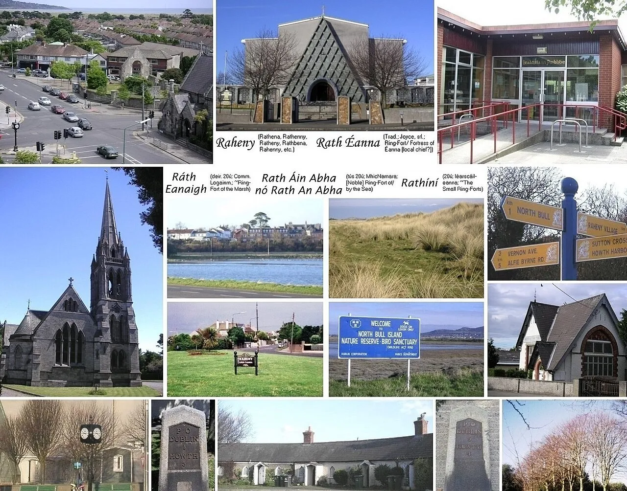
Raheny (Irish: Ráth Eanaigh) is a northern suburb of Dublin, Ireland, halfway from the city centre to Howth. It is centred on a historic settlement, first documented in 570 AD (Mervyn Archdall). The district shares Dublin's two largest municipal parks, Saint Anne's Park and Bull Island with its 4.5 km beach, with neighbouring Clontarf, and is crossed by several small watercourses.
Read more on Wikipedia Text: Wikipedia contributors · CC BY-SA 4.0 · shortened
At a glance
- Area
- 3.9 km²
Source: Wikidata
In comparison
- No. 15 of 30 places in Dublin City by population
- Nearest larger town: Donaghmede, 2 km NE
- 64 sights and natural places within 10 km Saint Anne’s Park, North Bull Island
Nearby attractions & nature
Everything nearby-
Saint Anne’s Park Natural site, Dublin City1.6 km S
-
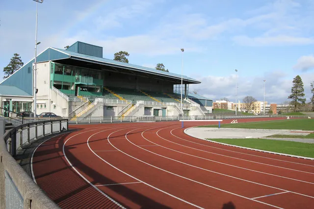 Santry Landmark, Fingal4.6 km W
-
Sutton Strand Beach, Leinster4.1 km E
-
North Bull Island Island, Leinster2.7 km SE
-
3Arena Attraction, Dublin City5.4 km SW
-
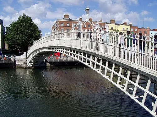 Ha'penny Bridge Landmark, Dublin City7.1 km SW
-
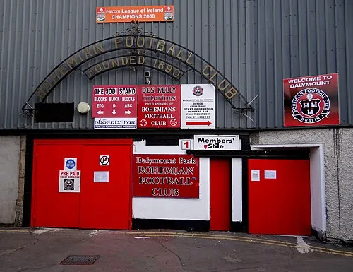 Dalymount Park Landmark, Dublin City6.9 km SW
-
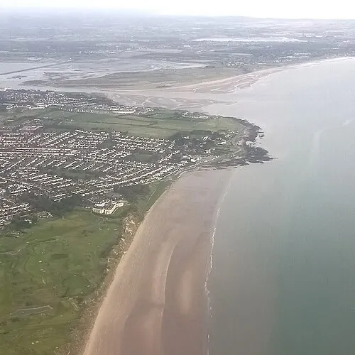 Velvet Strand Beach, Leinster5.5 km NE
Other cities and towns in Dublin City
Sources & licences
Data last updated: · 2 independent sources