Rathgar
Local name: Ráth Garbh
Located in Dublin City, Leinster Coordinates: 53°18′52″ N 6°16′30″ W
- Population
- 8,394
- 8.4K
- Elevation
- 39 m
- above sea level
- Local time
- UTC+00:00
- Europe/Dublin · UTC+00:00
About Rathgar
Rathgar is a town. Location: Dublin City, Leinster. Population: 8,394. Elevation: 39 m.
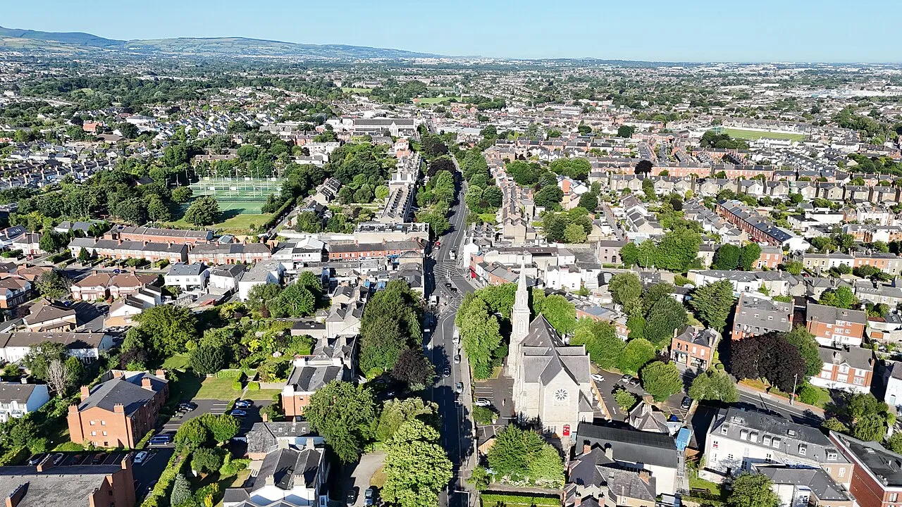
Rathgar (Irish: Ráth Garbh, meaning 'rough ringfort') is a suburb of Dublin, Ireland. Originally a village, which from 1862 was part of the township of Rathmines and Rathgar, it was absorbed by the growing city and became a suburb in 1930. It lies about three kilometres south of the city centre.
Read more on Wikipedia Text: Wikipedia contributors · CC BY-SA 4.0 · shortened
In comparison
- No. 11 of 30 places in Dublin City by population
- Nearest larger town: Rathmines, 1 km NE
- 57 sights and natural places within 10 km Mount Argus Church, Owendoher River
Nearby attractions & nature
Everything nearby-
Owendoher River River, Leinster1.3 km SW
-
Mount Argus Church Attraction, Dublin City1.1 km NW
-
Brickfields Park Natural site, Dublin City2.6 km NW
-
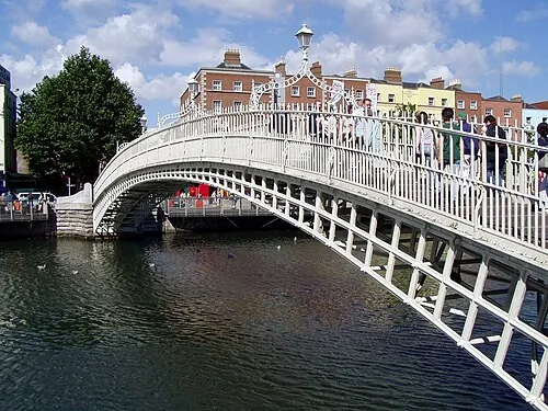 Ha'penny Bridge Landmark, Dublin City3.6 km N
-
National Stadium Landmark, Dublin City1.8 km N
-
Collins Barracks Museum, Dublin City3.9 km N
-
St. Patrick’s Cathedral Attraction, Dublin City2.8 km N
-
Saint Stephens Green Park Natural site, Dublin City2.8 km NE
Other cities and towns in Dublin City
-
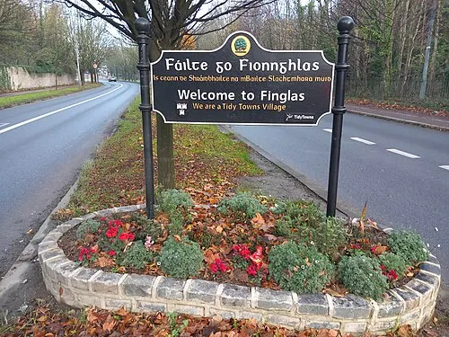 Finglas Town, Dublin City8.4 km N
-
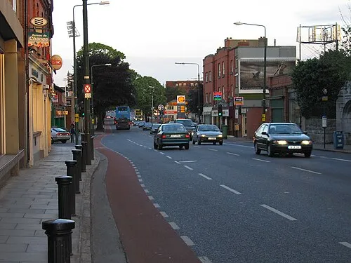 Donnybrook Town, Dublin City3.5 km E
-
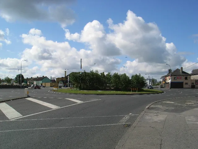 Walkinstown Town, Dublin City4.6 km W
-
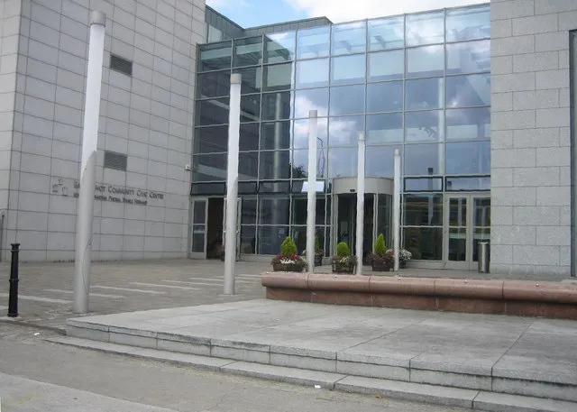 Ballyfermot Town, Dublin City6.2 km NW
-
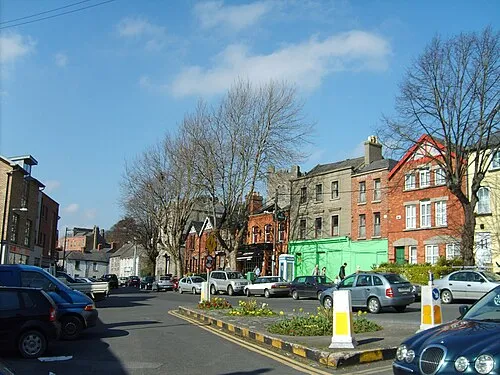 Chapelizod Town, Dublin City5.9 km NW
-
Sandymount Town, Dublin City3.8 km NE
Sources & licences
Data last updated: · 2 independent sources