Coomagearlahy
Located in County Kerry, Munster Coordinates: 51°56′24″ N 9°19′00″ W
- Elevation
- 506 m
- above sea level
- Local time
- UTC+00:00
- Europe/Dublin · UTC+00:00
About Coomagearlahy
Coomagearlahy is a mountain. Location: County Kerry, Munster. Elevation: 506 m.
In comparison
- No. 466 of 2106 mountains in Ireland by elevation
- 54 sights and natural places within 10 km Lough Nabirria, Foilgreana
Nearest towns and villages
-
Inchec Bridge Village, County Kerry3.6 km SW
-
Poulgorm Bridge Village, County Kerry4.5 km N
-
Cloonkeen Village, County Kerry5 km N
-
Milleeny Village, County Cork4.3 km E
-
Morley’s Bridge Village, County Kerry5.2 km SW
-
Aghnanus Bridge Village, County Kerry5.3 km W
Nearby attractions & nature
Everything nearby-
Foilgreana Mountain, County Kerry2.8 km S
-
Lough Nabirria Lake, County Kerry2 km W
-
Freaghanagh Mountain, County Kerry3.1 km W
-
Carrignaspirroge Mountain, County Cork3.4 km E
-
Doo Loughs Lake, County Kerry2.8 km W
-
An Cnoc Bui Mountain, County Cork3.4 km NE
-
An Coimin Bui Mountain, County Cork3.6 km SE
-
Coom Wood Natural site, Ireland3.6 km SE
More nature in Ireland
-
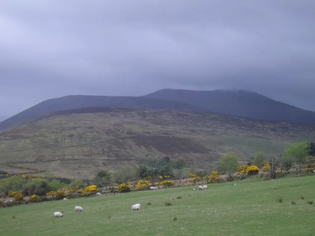 Derrynasaggart Mountains Mountain, County Kerry7.5 km NE
-
Garrigery Mountain, County Kerry5.1 km S
-
Carrigawaddra Mountain, County Kerry5.9 km NW
-
Esknabrock Mountain, County Kerry6.8 km W
-
Derrincullig Mountain, County Kerry6.8 km W
-
Crohane Mountain, County Kerry7.3 km NW
Sources & licences
Data last updated: