Munster
Local name: Cúige Mumhan
Located in Ireland Coordinates: 52°20′36″ N 8°43′00″ W
- Population
- 1,364,098
- 1.4M
- Elevation
- 130 m
- above sea level
- Local time
- UTC+00:00
- Europe/Dublin · UTC+00:00
- Places inside
- 160
- listed under Munster
About Munster
Munster is a region. Location: Ireland. Population: 1,364,098.
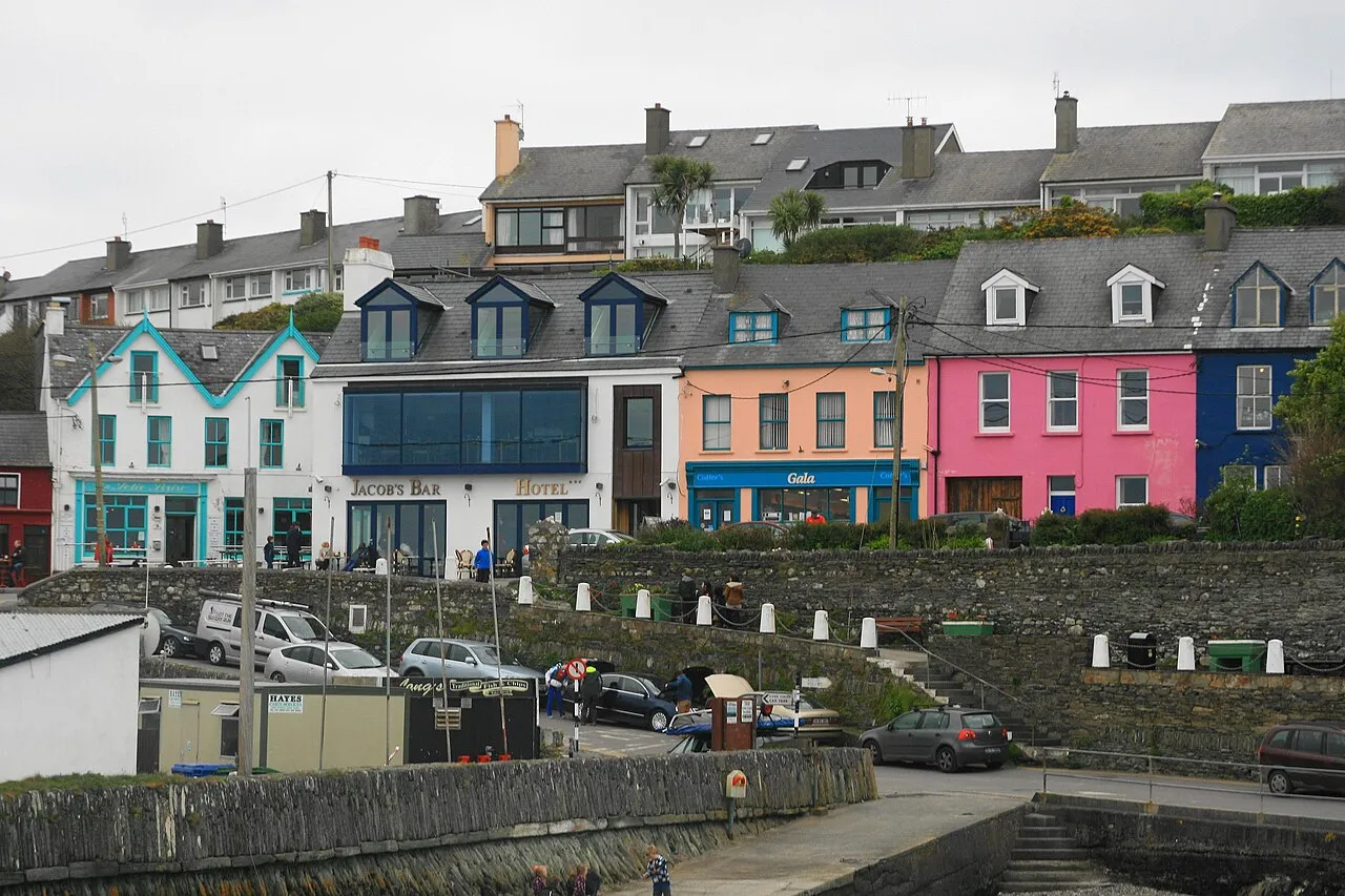
Munster (Irish: an Mhumhain [ə ˈwuːnʲ] or Cúige Mumhan [ˌkuːɟə ˈmˠuːnˠ]) is the largest of the four provinces of Ireland, located in the south west of the island, entirely within the Republic of Ireland. In early Ireland, the Kingdom of Munster was one of the kingdoms of Gaelic Ireland ruled by a "king of over-kings" (Irish: rí ruirech). Following the Norman invasion of Ireland, the ancient kingdoms were shired into counties for administrative and judicial purposes.
Read more on Wikipedia Text: Wikipedia contributors · CC BY-SA 4.0 · shortened
At a glance
- Area
- 24,608 km²
Source: Wikidata
In comparison
- 10 sights and natural places within 10 km Charleville Park, Garrane River
- Listed here: River: 68, Natural site: 44, Lake: 17, Island: 12
Places in Munster
160 places-
Morningstar River River
-
Mountneill Wood Natural site
-
Muggorts Bay Natural site
-
Mulkear River River
-
Oolagh River River
-
Oragagh River River
-
Owbeg River River
-
Owennashad River River
-
Pooldoody Bay Natural site
-
Portlaw Wood Natural site
-
Ram Head Natural site
-
River Arra River
-
River Brickey River
-
River Bride River
-
River Deel River
-
River Loobagh River
-
River Mahon River
-
River Maigue River
-
River Nier River
-
River Tay River
-
Robertstown River River
-
Sgilloge Loughs Lake
-
Sheep Island Island
-
Shernagh Stream River
-
Sliekanohera River River
-
Slievefelim Mountains Mountain
-
Slippery Island Island
-
Stark’s Wood Natural site
-
Sturamus Island Island
-
Suir Island Island
-
Swines Head Natural site
-
The Bull Island
-
The Bull Rock Mountain
-
The Calf Island
-
The Pines Natural site
-
Tikincor Wood Natural site
-
Tramore Bay Natural site
-
Tramore Strand Beach
-
Waller’s Island Island
-
White River River
Largest cities and towns
-
Clonmel City, County Tipperary18.4K
-
Carrigaline Town, County Cork18.2K
-
Mallow Town, County Cork13.5K
-
Midleton Town, County Cork12.5K
-
Ballincollig Town, County Cork18.6K
-
Tramore Town, Waterford10.4K
-
Waterford City, Waterford60.1K
-
Cobh Town, County Cork14.1K
Nature and heritage in Munster
-
Spike Island Island, County Cork
-
Skellig Michael Island, County Kerry
-
Howes Strand Beach, County Cork
-
Ring Mahon Strand Beach, County Cork
-
Lakeland Strand Beach, County Cork
-
Golden Strand Beach, County Cork
Sources & licences
Data last updated: · 2 independent sources