Spike Island
Located in County Cork, Munster Coordinates: 51°50′03″ N 8°17′08″ W
- Elevation
- 24 m
- above sea level
- Local time
- UTC+00:00
- Europe/Dublin · UTC+00:00
About Spike Island
Spike Island is an island. Location: County Cork, Munster.
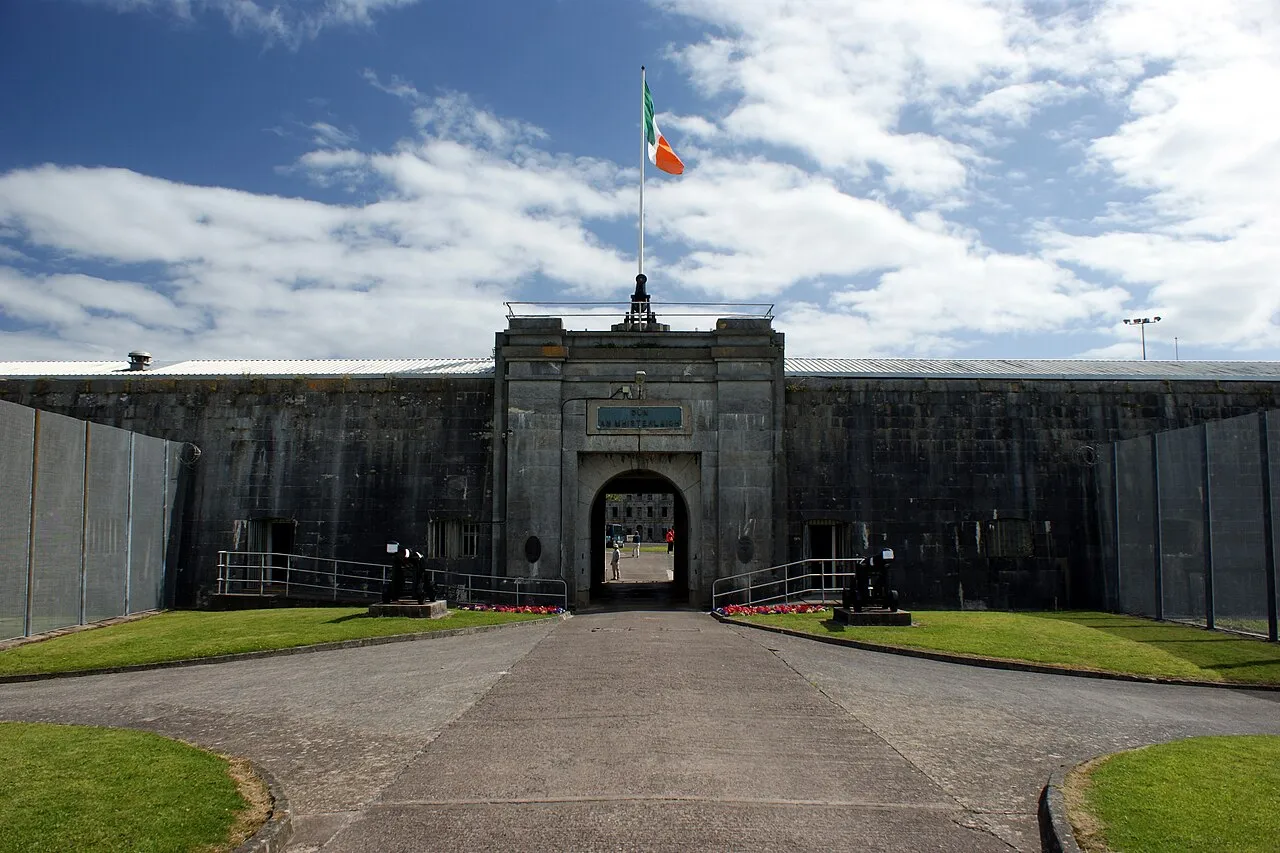
Spike Island (Irish: Inis Píc) is an island of 103 acres (42 ha) in Cork Harbour, Ireland. Originally the site of a monastic settlement, the island is dominated by an 18th-century bastion fort now named Fort Mitchel. The island's strategic location within the harbour meant it was used at times for defence and as a prison. Since the early 21st century the island has been developed as a heritage tourist attraction, with €5.5 million investment in exhibition and visitor spaces and accompanying tourism marketing.
Read more on Wikipedia Text: Wikipedia contributors · CC BY-SA 4.0 · shortened
At a glance
- Heritage designation
- national monument of Ireland
- Length
- 0.8 km
- Area
- 41 ha
Source: Wikidata
In comparison
- 48 sights and natural places within 10 km Fort Westmoreland, Rocky Island
Nearest towns and villages
-
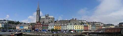 Cobh Town, County Cork1.9 km N
-
Ringaskiddy Village, County Cork2.2 km W
-
Crosshaven Village, County Cork4.1 km S
-
Whitegate Village, County Cork3.9 km E
-
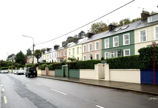 Passage West Town, County Cork5.3 km NW
-
Aghada Village, County Cork5.1 km E
Nearby attractions & nature
Everything nearby-
Fort Westmoreland Historic site, County Cork0.1 km SE
-
Rocky Island Island, County Cork1.2 km W
-
Haulbowline Island Island, County Cork1.3 km NW
-
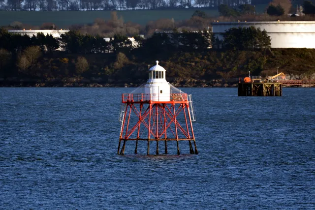 Spit Bank Lighthouse Landmark, County Cork1.5 km NE
-
Ringaskiddy Island Island, County Cork2.2 km W
-
Lough Beg Natural site, County Cork2.5 km SW
-
Curraghbinny Wood Natural site, County Cork2.9 km S
-
Rams Head Natural site, County Cork2.9 km S
Sources & licences
Data last updated: · 2 independent sources