- Elevation
- 70 m
- above sea level
- Local time
- UTC+00:00
- Europe/Dublin · UTC+00:00
- Airports
- ORK Cork International Airport14 km
- KIR Kerry Airport94 km
About Curraghbinny Wood
Curraghbinny Wood is a natural site. Location: County Cork, Munster. The best months to visit are June–September. The nearest airport is Cork International Airport (14 km). Nearby sights include Spike Island and Lough Beg.
Climate of Curraghbinny Wood
Best months for sightseeingBest months for sightseeing: June–September.
This month · November
A wet month
Day 11° · Night 5° · Rain 111 mm
- Hottest month
- July (day 18°)
- Coldest month
- January (night 3°)
- Wettest month
- January (132 mm)
- Driest month
- June (52 mm)
Bars: average monthly low and high temperature. Below: precipitation. Monthly averages for 1970–2000 at about 18 km resolution, adjusted for elevation. Highlighted months are mild and relatively dry. Source: WorldClim 2.1 (CC BY 4.0).
Show values as a table
| Month | Jan | Feb | Mar | Apr | May | Jun | Jul | Aug | Sep | Oct | Nov | Dec |
|---|---|---|---|---|---|---|---|---|---|---|---|---|
| Average high (°C) | 8° | 8° | 10° | 12° | 14° | 17° | 18° | 18° | 16° | 13° | 11° | 9° |
| Average low (°C) | 3° | 3° | 4° | 5° | 7° | 10° | 12° | 11° | 10° | 8° | 5° | 4° |
| Precipitation (mm) | 132 | 107 | 93 | 57 | 61 | 52 | 58 | 70 | 83 | 121 | 111 | 129 |
Other places to visit in this season: June July August September
How to get to Curraghbinny Wood
The nearest airport is Cork International Airport (ORK), 14 km to the west as the crow flies. The nearest large city is Cork, 15 km to the northwest.
Airports
- Cork International Airport (ORK) Cork 14 kmwest
- Kerry Airport (KIR) Farranfore 94 kmnorthwest
- Shannon Airport (SNN) Shannon 108 kmnorthwest
Nearby large cities
- Cork Population: 224K 15 kmnorthwest
- Limerick Population: 102.3K 98 kmnorth
- Dublin Population: 1M 219 kmnortheast
- Swansea Population: 300.4K 302 kmeast
- Plymouth Population: 260.2K 332 kmsoutheast
Straight-line distances; road distances are longer. Airport data: OurAirports.
Day trips from Curraghbinny Wood
Within 100 km: 138 historic and cultural sites, 717 natural sites, 476 lakes, rivers and coasts.
0–25 km119 places
- Sovereign Islands Island 18 kmSW
- Rocky Island Island 3 kmN
- Roaninish Island 18 kmW
- Ringaskiddy Island Island 3 kmNW
25–60 km345 places
- Capel Island Island 32 kmE
- Bird Island Island 43 kmSW
- Curraghalicky Lake Lake 58 kmW
- Cleaneath Lough Lake 58 kmW
60–100 km867 places
- Whiddy Island Island 84 kmW
- Sherkin Island Island 86 kmSW
- Ringarogy Island Island 82 kmSW
- Rabbit Islands Island 65 kmSW
Straight-line distances.
Nearest towns and villages
-
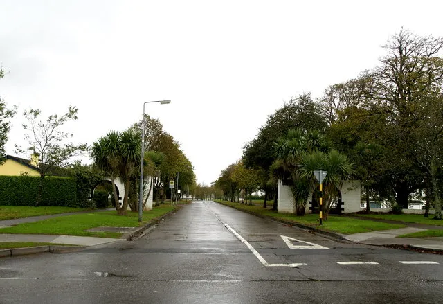 Carrigaline Town, County Cork6.8 km W
-
Crosshaven Village, County Cork1.3 km S
-
Churchbay Village, County Cork2 km SE
-
Ringaskiddy Village, County Cork2.9 km NW
-
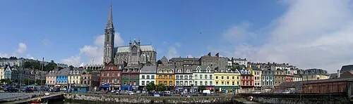 Cobh Town, County Cork4.5 km N
-
Fountainstown Village, County Cork2.9 km S
Nearby attractions & nature
Everything nearby-
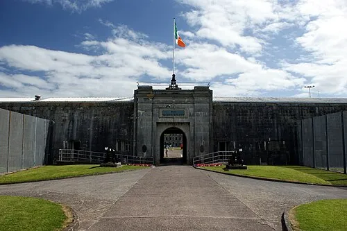 Spike Island Island, County Cork2.9 km N
-
Lough Beg Natural site, County Cork1.7 km NW
-
Owenboy River River, County Cork0.8 km NE
-
Rams Head Natural site, County Cork1.8 km E
-
Myrtleville Bay Natural site, County Cork2.8 km S
-
Ringaskiddy Island Island, County Cork2.8 km NW
-
Fort Meagher Historic site, County Cork1.6 km E
-
Camden Fort Historic site, County Cork1.6 km SE
Sources & licences
Data last updated: