Mullaghderg Lough
Located in County Donegal, Ulster Coordinates: 55°01′30″ N 8°22′14″ W
- Elevation
- 3 m
- above sea level
- Local time
- UTC+00:00
- Europe/Dublin · UTC+00:00
About Mullaghderg Lough
Mullaghderg Lough is a lake. Location: County Donegal, Ulster. Elevation: 3 m.
In comparison
- 58 sights and natural places within 10 km Lough Navreaguoge, Lough Nagreagh
Nearest towns and villages
-
Annagary Village, County Donegal3.4 km E
-
Kincaslough Village, County Donegal1.3 km W
-
Rann Na Feirste Village, County Donegal4.2 km E
-
Gortnasate Village, County Donegal2.1 km NW
-
Burtonport Village, County Donegal5.9 km SW
-
Loughanure Village, County Donegal6 km SE
Nearby attractions & nature
Everything nearby-
Lough Navreaguoge Lake, County Donegal1.3 km SE
-
Lough Nagreagh Lake, County Donegal1.7 km S
-
Lough Naweeloge Lake, County Donegal1.8 km E
-
Inishillintry Island, County Donegal3.3 km NW
-
Lough Nawaugh Lake, County Donegal2.8 km S
-
Cruit Island Island, County Donegal3.1 km W
-
Inishfree Bay Natural site, County Donegal2.9 km N
-
Carnboy Natural site, County Donegal4.5 km NE
More lakes, rivers and coasts in Ireland
-
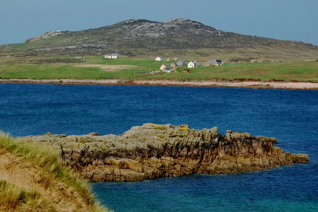 Owey Island Island, County Donegal5.8 km NW
-
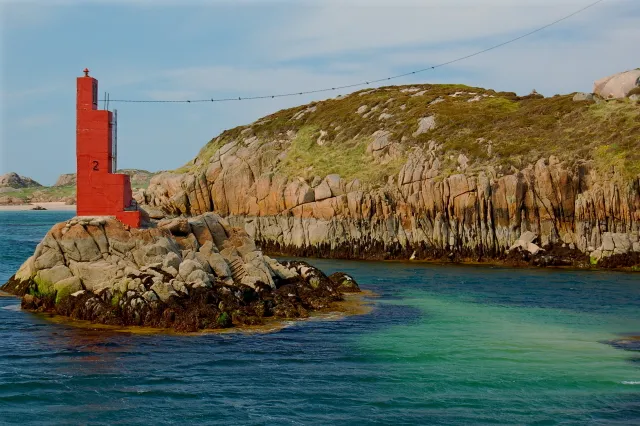 Inishcoo Island, County Donegal7 km SW
-
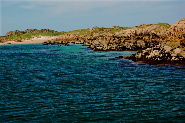 Eighter Island Island, County Donegal7.4 km SW
-
Inishfree Lower Island, County Donegal4.3 km N
-
Go Island Island, County Donegal6 km N
-
Allagh Island Island, County Donegal6 km N
Sources & licences
Data last updated: