Raghtin More
Located in County Donegal, Ulster Coordinates: 55°15′21″ N 7°28′04″ W
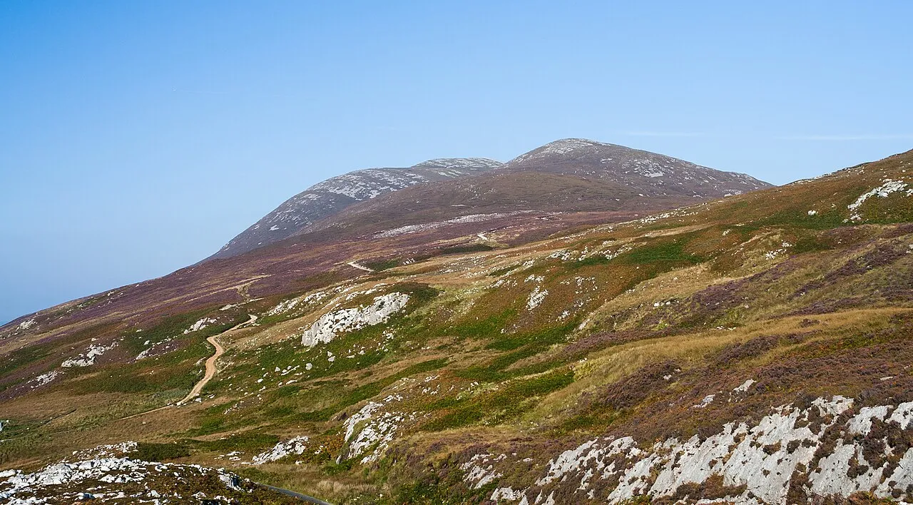
- Elevation
- 502 m
- above sea level
- Local time
- UTC+00:00
- Europe/Dublin · UTC+00:00
About Raghtin More
Raghtin More is a mountain. Location: County Donegal, Ulster. Elevation: 502 m.
Raghtin More (Irish: Reachtain Mhór) or Slieve Keeroge is a mountain with a height of 502 metres (1,647 ft) in Inishowen, County Donegal, Ireland. There is a megalithic cairn on its summit, which can be climbed from Mamore Gap. From the summit there is a view of Lough Swilly and the coast stretching to Malin Head.
Read more on Wikipedia Text: Wikipedia contributors · CC BY-SA 4.0 · shortened
In comparison
- No. 471 of 2106 mountains in Ireland by elevation
- 35 sights and natural places within 10 km Cnoc Meain, Slievekeeragh Hill
Nearest towns and villages
Nearby attractions & nature
Everything nearby-
Cnoc Meain Mountain, County Donegal0.7 km SW
-
Slievekeeragh Hill Mountain, County Donegal1.6 km S
-
Mamore Hill Mountain, County Donegal2.5 km SW
-
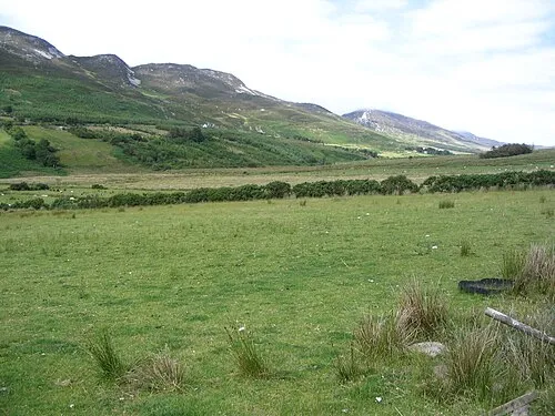 Urris Hills Mountain, County Donegal4.9 km SW
-
Lenan Head Natural site, County Donegal4 km W
-
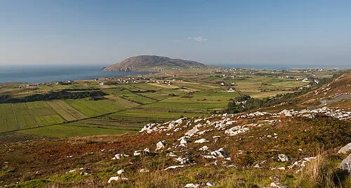 Dunaff Head Natural site, County Donegal4.5 km NW
-
Tanderagee Mountain, County Donegal3.7 km NE
-
Bulbin Mountain, County Donegal3.7 km SE
More nature in Ireland
-
Binnion Mountain, County Donegal4.5 km NE
-
Ballintlieve Hill Mountain, County Donegal6.2 km SE
-
Croaghcarragh Mountain, County Donegal4 km SW
-
Coolcross Hill Mountain, County Donegal6.6 km E
-
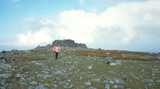 Slieve Snaght Mountain, County Donegal11 km SE
-
Beam Mountain, County Donegal6.8 km S
Sources & licences
Data last updated: · 2 independent sources