- Elevation
- 1,720 m
- above sea level
- Local time
- UTC+01:00
- Europe/Rome · UTC+01:00
- Airports
- PSR Abruzzo Airport61 km
- CIA Ciampino–G. B. Pastine International Airport89 km
About Monte Savina
Monte Savina is a mountain. Location: Aielli, Province of L'Aquila. Elevation: 1,720 m. The best months to visit are July–August. The nearest airport is Abruzzo Airport (61 km). Nearby sights include Monte Etra and Monte Canale.
Photos of Monte Savina
-
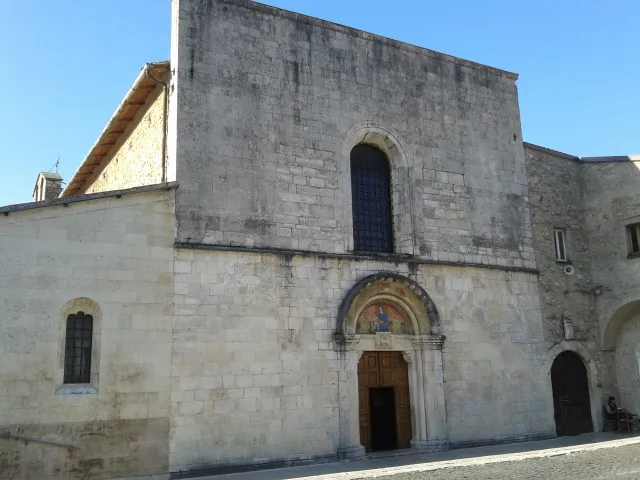
Chiesa di Santa Maria Valleverde Marica Massaro · CC BY-SA 4.0 -
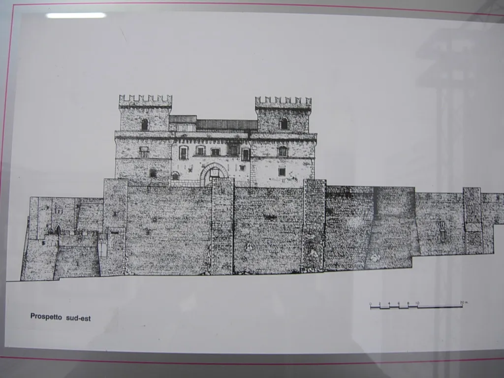
Museo d'Arte Sacra della Marsica No machine-readable author provided. Inviaggiocommons assumed · Public domain -
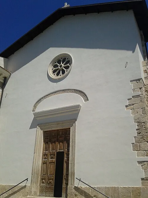
Museo civico di Cerchio Marica Massaro · CC BY-SA 4.0


Climate of Monte Savina
Best months for sightseeingBest months for sightseeing: July–August.
This month · November
A cold month
Day 5° · Night -2° · Rain 94 mm
- Hottest month
- August (day 20°)
- Coldest month
- February (night -6°)
- Wettest month
- October (100 mm)
- Driest month
- January (51 mm)
Bars: average monthly low and high temperature. Below: precipitation. Monthly averages for 1970–2000 at about 18 km resolution, adjusted for elevation. Highlighted months are mild and relatively dry. Source: WorldClim 2.1 (CC BY 4.0).
Show values as a table
| Month | Jan | Feb | Mar | Apr | May | Jun | Jul | Aug | Sep | Oct | Nov | Dec |
|---|---|---|---|---|---|---|---|---|---|---|---|---|
| Average high (°C) | 1° | 1° | 4° | 7° | 12° | 16° | 20° | 20° | 16° | 11° | 5° | 2° |
| Average low (°C) | -6° | -6° | -4° | -2° | 3° | 7° | 10° | 10° | 6° | 2° | -2° | -5° |
| Precipitation (mm) | 51 | 58 | 56 | 71 | 72 | 69 | 65 | 65 | 89 | 100 | 94 | 67 |
How to get to Monte Savina
The nearest airport is Abruzzo Airport (PSR), 61 km to the northeast as the crow flies. The nearest large city is Split, 280 km to the northeast.
Airports
- Abruzzo Airport (PSR) Pescara 61 kmnortheast
- Ciampino–G. B. Pastine International Airport (CIA) Rome 89 kmsouthwest
- Rome–Fiumicino Leonardo da Vinci International Airport (FCO) Rome 116 kmwest
Nearby large cities
- Split Population: 149.8K 280 kmnortheast
- Rijeka Population: 108K 363 kmnorth
Straight-line distances; road distances are longer. Airport data: OurAirports.
Day trips from Monte Savina
Within 100 km: 233 historic and cultural sites, 308 natural sites, 41 lakes, rivers and coasts.
0–25 km44 places
- Monte Urano Mountain 14 kmE
- Monte Selva Canuta Mountain 10 kmNW
- Monte Scarafano Mountain 23 kmNE
- Monte San Pietro Mountain 4 kmS
25–60 km175 places
- Monte Viglio Mountain 31 kmSW
- Monte Veticoso Mountain 34 kmN
- Serra Tre Monti Mountain 54 kmSE
- Monte Trascinelli Mountain 45 kmNW
60–100 km363 places
- Ripari di Giobbe Beach 73 kmNE
- Valle Cerrese Natural site 78 kmW
- Giulianova Beach Beach 79 kmNE
- Sombrero Beach 97 kmS
Straight-line distances.
Nearest towns and villages
-
Aielli Village, Aielli4 km S
-
Celano Municipality, Province of L'Aquila5 km SW
-
Contrada Paolo Borsellino Village, Aielli4.6 km S
-
Aielli Stazione Village, Aielli5.9 km S
-
Sardellino Village, Aielli5 km SW
-
Ovindoli Municipality, Province of L'Aquila6 km W
Nearby attractions & nature
Everything nearby-
Monte Etra Mountain, Aielli1.9 km S
-
Monte Canale Mountain, Celano2.8 km E
-
Monte San Pietro Mountain, Aielli4 km S
-
Monte Defenza Mountain, Aielli4 km S
-
Monte Castello Mountain, Secinaro6.9 km NE
-
Museo d'Arte Sacra della Marsica Museum, Celano4.8 km SW
-
Monte Cocurello Mountain, Massa d'Albe9.6 km W
-
Chiesa di Santa Maria Valleverde Attraction, Celano4.9 km SW
Sources & licences
Data last updated: · 2 independent sources