- Elevation
- 3,186 m
- above sea level
- Local time
- UTC+01:00
- Europe/Rome · UTC+01:00
- Airports
- TRN Turin Airport49 km
- MXP Milan Malpensa International Airport93 km
About Monte Glacier
Monte Glacier is a mountain. Location: Fénis, Province of Aosta. Elevation: 3,186 m. The nearest airport is Turin Airport (49 km). Nearby sights include Monte Belpla and Monte Rafray.
Photos of Monte Glacier
-
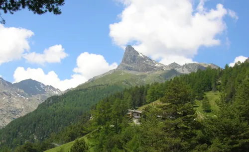
Mont Avic Patafisik · CC BY-SA 3.0

Climate of Monte Glacier
This month · November
A wet month
Day -5° · Night -11° · Rain 104 mm
- Hottest month
- August (day 8°)
- Coldest month
- February (night -15°)
- Wettest month
- May (110 mm)
- Driest month
- July (69 mm)
Bars: average monthly low and high temperature. Below: precipitation. Monthly averages for 1970–2000 at about 18 km resolution, adjusted for elevation. Highlighted months are mild and relatively dry. Source: WorldClim 2.1 (CC BY 4.0).
Show values as a table
| Month | Jan | Feb | Mar | Apr | May | Jun | Jul | Aug | Sep | Oct | Nov | Dec |
|---|---|---|---|---|---|---|---|---|---|---|---|---|
| Average high (°C) | -8° | -8° | -7° | -5° | 0° | 4° | 8° | 8° | 5° | 0° | -5° | -7° |
| Average low (°C) | -14° | -15° | -13° | -11° | -7° | -4° | 0° | 0° | -3° | -6° | -11° | -13° |
| Precipitation (mm) | 91 | 88 | 94 | 105 | 110 | 87 | 69 | 83 | 81 | 109 | 104 | 92 |
How to get to Monte Glacier
The nearest airport is Turin Airport (TRN), 49 km to the south as the crow flies. The nearest large city is Lausanne, 121 km to the northwest.
Airports
- Turin Airport (TRN) Caselle Torinese (TO) 49 kmsouth
- Milan Malpensa International Airport (MXP) Ferno (VA) 93 kmeast
- Lugano Airport (LUG) Agno 114 kmeast
Nearby large cities
- Lausanne Population: 139.1K 121 kmnorthwest
- Geneva Population: 201.7K 125 kmnorthwest
- Bern Population: 121.6K 147 kmnorth
- Grenoble Population: 158.6K 151 kmwest
- Villeurbanne Population: 131.4K 208 kmwest
Straight-line distances; road distances are longer. Airport data: OurAirports.
Day trips from Monte Glacier
Within 100 km: 66 historic and cultural sites, 3,315 natural sites, 338 lakes, rivers and coasts.
0–25 km50 places
- Monte Bieteron Mountain 25 kmNE
- Monte Faroma Mountain 22 kmN
- Monte Belpla Mountain 3 kmN
- Torre di Lavina Mountain 11 kmSW
25–60 km1,177 places
- Stausee Mattmark Lake 56 kmNE
- Lac d'Orny Lake 55 kmNW
- Le Gouillé Vert Lake 59 kmN
- Lac de la Breye Lake 59 kmNW
60–100 km2,492 places
- Oeschinen Lake Lake 97 kmN
- Lac de Fully Lake 70 kmNW
- Lac de Derborence Lake 76 kmN
- Daubensee Lake 87 kmN
Straight-line distances.
Nearest towns and villages
-
 Chardonney Village, Champorcher5.4 km E
-
Champorcher Municipality, Province of Aosta6.4 km E
-
Grand Mont Blanc Village, Champorcher5.7 km E
-
Chateau Village, Champorcher6.4 km E
-
Champorcher Village, Champorcher6.4 km E
-
Arbussey Village, Champorcher6 km E
Nearby attractions & nature
Everything nearby-
Monte Belpla Mountain, Champdepraz2.5 km N
-
Monte Rafray Mountain, Fénis2.9 km NW
-
Mont Avic Mountain, Chambave5.2 km N
-
Monte Barbeston Mountain, Châtillon9.1 km NE
-
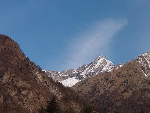 Torre di Lavina Mountain, Aosta Valley11 km SW
-
Mont Lyan Mountain, Châtillon11 km NE
-
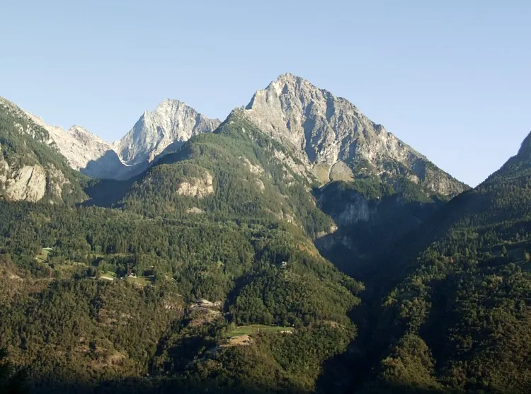 Becca di Nona Mountain, Charvensod15 km NW
-
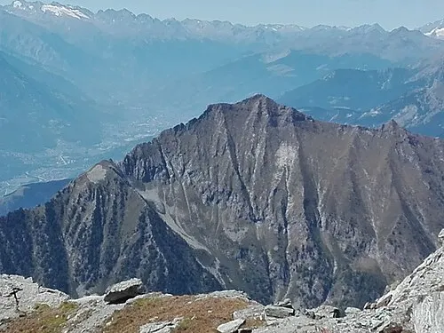 Monte Zerbion Mountain, Châtillon20 km NE
Sources & licences
Data last updated: · 2 independent sources