Galugnano
Located in San Donato di Lecce, Province of Lecce Coordinates: 40°15′22″ N 18°12′53″ E
- Population
- 1,060
- 1.1K
- Elevation
- 86 m
- above sea level
- Local time
- UTC+01:00
- Europe/Rome · UTC+01:00
- Airports
- BDS Brindisi Airport50 km
- BRI Bari Karol Wojtyła International Airport157 km
About Galugnano
Galugnano is a village. Location: San Donato di Lecce, Province of Lecce. Population: 1,060. Elevation: 86 m. The best months to visit are May, October. The nearest airport is Brindisi Airport (50 km). Nearby sights include Serre di Martignano and Campana.
Climate of Galugnano
Best months for sightseeingBest months for sightseeing: May, October.
This month · November
Outside the best season
Day 17° · Night 10° · Rain 91 mm
- Hottest month
- July (day 30°)
- Coldest month
- January (night 6°)
- Wettest month
- November (91 mm)
- Driest month
- July (12 mm)
Bars: average monthly low and high temperature. Below: precipitation. Monthly averages for 1970–2000 at about 18 km resolution, adjusted for elevation. Highlighted months are mild and relatively dry. Source: WorldClim 2.1 (CC BY 4.0).
Show values as a table
| Month | Jan | Feb | Mar | Apr | May | Jun | Jul | Aug | Sep | Oct | Nov | Dec |
|---|---|---|---|---|---|---|---|---|---|---|---|---|
| Average high (°C) | 13° | 13° | 15° | 18° | 23° | 27° | 30° | 30° | 26° | 22° | 17° | 14° |
| Average low (°C) | 6° | 6° | 7° | 10° | 14° | 18° | 20° | 21° | 18° | 14° | 10° | 7° |
| Precipitation (mm) | 75 | 55 | 58 | 35 | 24 | 16 | 12 | 25 | 51 | 81 | 91 | 67 |
How to get to Galugnano
The nearest airport is Brindisi Airport (BDS), 50 km to the northwest as the crow flies. The nearest large city is Durrës, 158 km to the northeast.
Airports
- Brindisi Airport (BDS) Brindisi 50 kmnorthwest
- Bari Karol Wojtyła International Airport (BRI) Bari 157 kmnorthwest
- Corfu Ioannis Kapodistrias International Airport (CFU) Kerkyra (Corfu) 162 kmsoutheast
Nearby large cities
- Durrës Population: 195.9K 158 kmnortheast
- Tirana Population: 418.5K 180 kmnortheast
- Podgorica Population: 236.9K 258 kmnorth
- Prizren Population: 171.5K 303 kmnortheast
- Skopje Population: 474.9K 332 kmnortheast
Straight-line distances; road distances are longer. Airport data: OurAirports.
Day trips from Galugnano
Within 100 km: 12 historic and cultural sites, 12 natural sites, 49 lakes, rivers and coasts.
0–25 km21 places
- Spiaggia Padula Bianca Beach 25 kmSW
- Le Quattro Colonne Landmark 24 kmSW
- Serre di Martignano Mountain 5 kmE
- Torre dell'Orso Landmark 18 kmE
25–60 km34 places
- Cape Otranto Natural site 31 kmSE
- Spiaggia Torre Mozza Beach 44 kmS
- Spiaggia Lido Marini Beach 45 kmS
- Spiaggia Torre Pali Beach 46 kmS
60–100 km18 places
- Lido Azzurro Beach 96 kmW
- Marina Di Ferrara Beach 98 kmW
- Monte Sant'Angelo Mountain 91 kmNW
- Spiaggia Lido Tiziana Beach 67 kmNW
Straight-line distances.
Nearby attractions & nature
Everything nearby-
Serre di Martignano Mountain, Martignano4.9 km E
-
Campana Mountain, Soleto6.5 km S
-
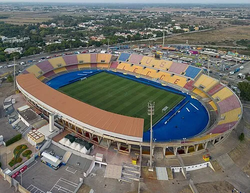 Stadio Via del Mare Landmark, Lecce12 km N
-
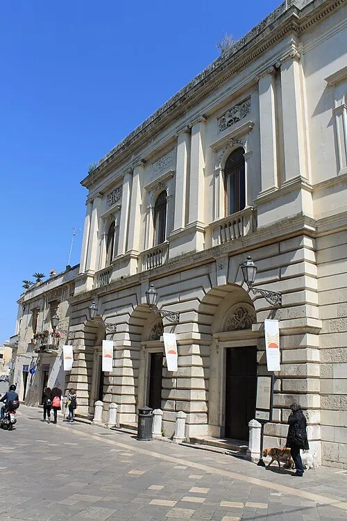 Teatro Paisiello Attraction, Lecce12 km N
-
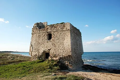 Torre Veneri Landmark, Lecce19 km N
-
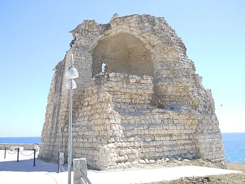 Torre dell'Orso Landmark, Melendugno18 km E
Sources & licences
Data last updated: