- Population
- 1,098,513
- 1.1M
- Elevation
- 656 m
- above sea level
- Local time
- UTC+01:00
- Europe/Rome · UTC+01:00
- Places inside
- 159
- listed under Province of Salerno
- Airports
- QSR Salerno Costa d'Amalfi Airport36 km
- NAP Naples International Airport96 km
About Province of Salerno
Province of Salerno is a district. Location: Campania, Italy. Population: 1,098,513. The best months to visit are June–September. The nearest airport is Salerno Costa d'Amalfi Airport (36 km). Nearby sights include Cilento and Valle Lontrano.
Photos of Province of Salerno
-
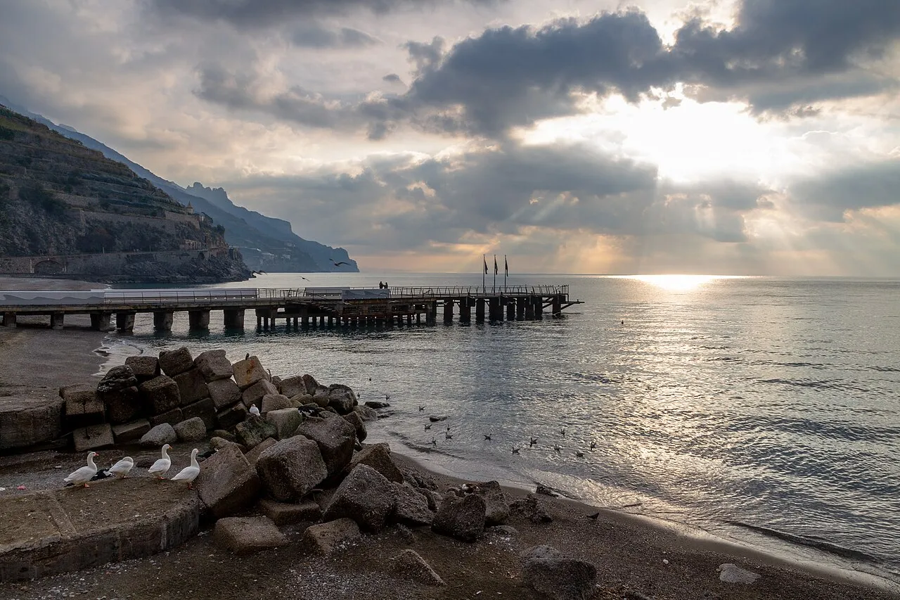
Spiaggia di Minori Ugeorge · CC BY-SA 3.0 -
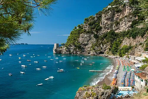
Spiaggia Fornillo Mihael Grmek · CC BY-SA 4.0 -
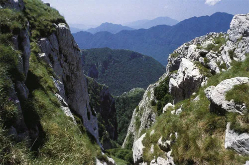
Monti Picentini User:Istvánka · CC BY-SA 2.5 -
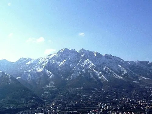
Monte Finestra Scarpetter · CC0 -
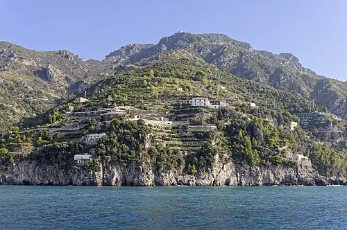
Monte dell'Avvocata © Ra Boe / Wikipedia · CC BY-SA 3.0 de


Climate of Province of Salerno
Best months for sightseeingBest months for sightseeing: June–September.
This month · November
A wet month
Day 13° · Night 6° · Rain 116 mm
- Hottest month
- August (day 26°)
- Coldest month
- January (night 2°)
- Wettest month
- November (116 mm)
- Driest month
- July (23 mm)
Bars: average monthly low and high temperature. Below: precipitation. Monthly averages for 1970–2000 at about 18 km resolution, adjusted for elevation. Highlighted months are mild and relatively dry. Source: WorldClim 2.1 (CC BY 4.0).
Show values as a table
| Month | Jan | Feb | Mar | Apr | May | Jun | Jul | Aug | Sep | Oct | Nov | Dec |
|---|---|---|---|---|---|---|---|---|---|---|---|---|
| Average high (°C) | 8° | 9° | 11° | 14° | 19° | 23° | 26° | 26° | 22° | 18° | 13° | 9° |
| Average low (°C) | 2° | 2° | 4° | 6° | 10° | 14° | 16° | 17° | 14° | 10° | 6° | 3° |
| Precipitation (mm) | 92 | 84 | 73 | 76 | 48 | 27 | 23 | 33 | 67 | 97 | 116 | 100 |
Other places to visit in this season: June July August September
How to get to Province of Salerno
The nearest airport is Salerno Costa d'Amalfi Airport (QSR), 36 km to the northwest as the crow flies. For international flights: Naples International Airport (NAP) (96 km). The nearest large city is Split, 353 km to the north.
Airports
- Salerno Costa d'Amalfi Airport (QSR) Salerno 36 kmnorthwest
- Naples International Airport (NAP) Napoli 96 kmnorthwest
- Foggia Gino Lisa Airport (FOG) Foggia (FG) 112 kmnorth
Nearby large cities
- Split Population: 149.8K 353 kmnorth
Straight-line distances; road distances are longer. Airport data: OurAirports.
Day trips from Province of Salerno
Within 100 km: 22 historic and cultural sites, 95 natural sites, 22 lakes, rivers and coasts.
0–25 km9 places
- Spiaggia Lido Linora Beach 24 kmW
- Spiaggia Lido Raggio Verde Beach 24 kmW
- Spiaggia Lido Marilena Beach 24 kmW
- Spiaggia Lido La Siesta Beach 24 kmW
25–60 km54 places
- Monte del Papa Mountain 60 kmSE
- Spiaggia Agropoli Beach 26 kmSW
- Spiaggia di Magazzeno Beach 39 kmNW
- Spiaggia di Torre Picentina Beach 41 kmNW
60–100 km76 places
- Colle Umberto Mountain 84 kmNW
- Spiaggia Castellammare di Stabia Beach 72 kmNW
- Spiaggia Torre Annunziata Beach 78 kmNW
- Spiaggia Cirella di Diamante Beach 94 kmSE
Straight-line distances.
Places in Province of Salerno
159 places- 121 Petina 1.1K
- 122 Ricigliano 1.1K
- 123 Prignano Cilento 1.1K
- 124 Orria 1K
- 125 Lustra 1K
- 126 Cannalonga 1K
- 127 Alfano 1K
- 128 Ispani 989
- 129 Perito 886
- 130 Controne 864
- 131 San Mauro Cilento 848
- 132 Atrani 842
- 133 Stio 821
- 134 Rutino 808
- 135 Bellosguardo 770
- 136 Laurito 766
- 137 Furore 752
- 138 Roscigno 696
- 139 Conca dei Marini 687
- 140 Stella Cilento 683
- 141 Pertosa 680
- 142 Magliano Vetere 658
- 143 Morigerati 651
- 144 Ottati 602
- 145 Castelnuovo di Conza 595
- 146 San Mauro la Bruca 564
- 147 Cuccaro Vetere 560
- 148 Sant'Angelo a Fasanella 555
- 149 Monteforte Cilento 545
- 150 Corleto Monforte 544
- 151 Salvitelle 517
- 152 Tortorella 495
- 153 Sacco 468
- 154 Santomenna 425
- 155 Romagnano al Monte 381
- 156 Campora 378
- 157 Serramezzana 300
- 158 Valle dell'Angelo 229
Bar: population relative to the most populous place in this list.
Lakes, rivers & coasts1
- Spiaggia di Minori · Beach
Nature and heritage in Province of Salerno
Nearby attractions & nature
Everything nearby-
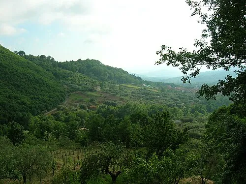 Cilento Mountain, Campania13 km S
-
Valle Lontrano Natural site, Campania15 km NE
-
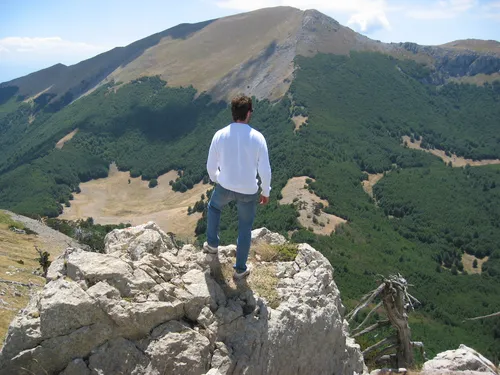 Appennino Meridionale Mountain, Campania21 km E
-
Valle Soprana Natural site, Campania17 km SE
-
Valle Trigente Natural site, Campania22 km N
Sources & licences
Data last updated: