- Elevation
- 1,377 m
- above sea level
- Local time
- UTC+01:00
- Europe/Rome · UTC+01:00
- Airports
- PMF Parma Airport49 km
- GOA Genoa Cristoforo Colombo Airport91 km
About Monte Beccara
Monte Beccara is a mountain. Location: Corniglio, Province of Parma. Elevation: 1,377 m. The best months to visit are July–August. The nearest airport is Parma Airport (49 km). Nearby sights include Monte Fontanini and Monte Borgognone.
Climate of Monte Beccara
Best months for sightseeingBest months for sightseeing: July–August.
This month · November
A wet month
Day 5° · Night -2° · Rain 187 mm
- Hottest month
- July (day 21°)
- Coldest month
- January (night -6°)
- Wettest month
- October (193 mm)
- Driest month
- July (51 mm)
Bars: average monthly low and high temperature. Below: precipitation. Monthly averages for 1970–2000 at about 18 km resolution, adjusted for elevation. Highlighted months are mild and relatively dry. Source: WorldClim 2.1 (CC BY 4.0).
Show values as a table
| Month | Jan | Feb | Mar | Apr | May | Jun | Jul | Aug | Sep | Oct | Nov | Dec |
|---|---|---|---|---|---|---|---|---|---|---|---|---|
| Average high (°C) | 2° | 3° | 6° | 9° | 13° | 17° | 21° | 21° | 16° | 11° | 5° | 2° |
| Average low (°C) | -6° | -5° | -3° | -1° | 3° | 7° | 9° | 9° | 6° | 2° | -2° | -5° |
| Precipitation (mm) | 140 | 101 | 121 | 133 | 101 | 93 | 51 | 88 | 130 | 193 | 187 | 144 |
How to get to Monte Beccara
The nearest airport is Parma Airport (PMF), 49 km to the northeast as the crow flies. For international flights: Genoa Cristoforo Colombo Airport (GOA) (91 km). The nearest large city is Nice, 233 km to the west.
Airports
- Parma Airport (PMF) Parma (PR) 49 kmnortheast
- Genoa Cristoforo Colombo Airport (GOA) Genova (GE) 91 kmwest
- Pisa International Airport (PSA) Pisa (PI) 91 kmsouth
Nearby large cities
- Nice Population: 342.7K 233 kmwest
- Innsbruck Population: 132.5K 332 kmnorth
- Bern Population: 121.6K 341 kmnorthwest
- Zurich Population: 415.4K 343 kmnorth
- Grenoble Population: 158.6K 347 kmwest
Straight-line distances; road distances are longer. Airport data: OurAirports.
Nearest towns and villages
-
Cirone Neighbourhood, Corniglio3.3 km E
-
Bosco Village, Corniglio4.4 km E
-
Gravagna Montale Village, Pontremoli3.2 km W
-
Pracchiola Village, Pontremoli2.5 km SW
-
Costa Village, Corniglio3.8 km E
-
Gravagna San Rocco Village, Pontremoli3.6 km W
Nearby attractions & nature
Everything nearby-
Monte Fontanini Mountain, Corniglio0.7 km NW
-
Monte Borgognone Mountain, Pontremoli1.2 km E
-
Groppo del Vescovo Mountain, Pontremoli2.6 km NW
-
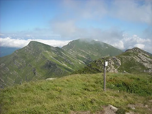 Monte Orsaro Mountain, Pontremoli4 km S
-
Monte Valoria Mountain, Pontremoli3.6 km NW
-
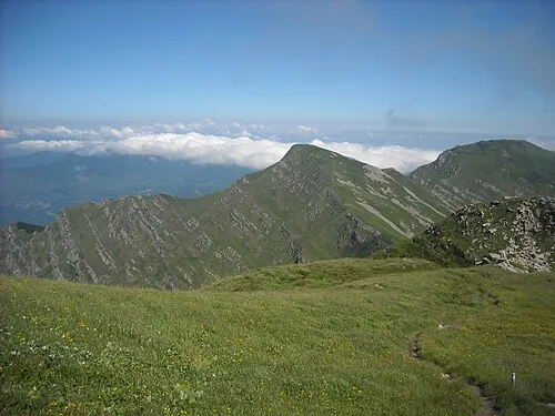 Monte Braiola Mountain, Emilia-Romagna4.6 km S
-
Monte Pelata Mountain, Borgo Val di Taro7.6 km W
-
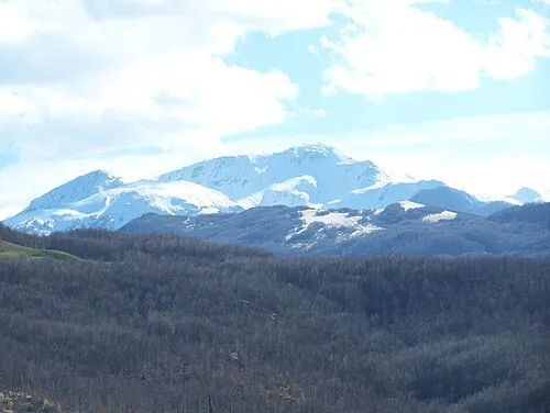 Alpe di Succiso Mountain, Ventasso21 km SE
Sources & licences
Data last updated: · 2 independent sources