Stadio Nereo Rocco
Located in Trieste, Province of Trieste Coordinates: 45°37′22″ N 13°47′34″ E
- Local time
- UTC+01:00
- Europe/Rome · UTC+01:00
- Elevation
- 23 m
- above sea level
- Airports
- TRS Trieste Airport34 km
- RJK Rijeka Airport76 km
About Stadio Nereo Rocco
Stadio Nereo Rocco is a landmark. Location: Trieste, Province of Trieste.
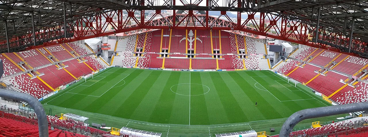
Stadio Nereo Rocco is a football stadium in Trieste, Italy. Opened in 1992, it is the home of Triestina, named after the club's former player and manager Nereo Rocco. The stadium is located in the Valmaura district on the southern outskirts of the city, close to the club's former venue Stadio Giuseppe Grezar. Originally built with a capacity of 26,000, renovations done in 2018 before the venue hosted matches of the 2019 UEFA European Under-21 Championship reduced the capacity to 21,000.
Source: Wikipedia · CC BY-SA 4.0
At a glance
- Built
- 1992
- Opened
- 1992
Source: Wikidata
Photos of Stadio Nereo Rocco
-

EneaBalsoldo · CC BY-SA 4.0 -

EneaBalsoldo · CC BY-SA 4.0 -

Fabio Silietti The original uploader was Sirie at Italian Wikipedia · Public domain -

vfbflo · CC BY-SA 4.0 -

Museo Revoltella Albert Rieger · Public domain


Climate of Stadio Nereo Rocco
Best months for sightseeingBest months for sightseeing: May–June, September.
This month · November
A wet month
Day 13° · Night 7° · Rain 118 mm
- Hottest month
- July (day 28°)
- Coldest month
- January (night 3°)
- Wettest month
- October (123 mm)
- Driest month
- February (59 mm)
Bars: average monthly low and high temperature. Below: precipitation. Monthly averages for 1970–2000 at about 18 km resolution, adjusted for elevation. Highlighted months are mild and relatively dry. Source: WorldClim 2.1 (CC BY 4.0).
Show values as a table
| Month | Jan | Feb | Mar | Apr | May | Jun | Jul | Aug | Sep | Oct | Nov | Dec |
|---|---|---|---|---|---|---|---|---|---|---|---|---|
| Average high (°C) | 8° | 10° | 13° | 17° | 22° | 25° | 28° | 28° | 24° | 19° | 13° | 9° |
| Average low (°C) | 3° | 3° | 5° | 9° | 13° | 17° | 19° | 19° | 16° | 12° | 7° | 4° |
| Precipitation (mm) | 73 | 59 | 75 | 89 | 88 | 102 | 69 | 96 | 109 | 123 | 118 | 99 |
How to get to Stadio Nereo Rocco
The nearest airport is Trieste Airport (TRS), 34 km to the northwest as the crow flies. The nearest large city is Rijeka, 61 km to the southeast.
Airports
- Trieste Airport (TRS) Ronchi dei Legionari/Trieste 34 kmnorthwest
- Rijeka Airport (RJK) Rijeka(Omišalj) 76 kmsoutheast
- Pula Airport (PUY) Pula 82 kmsouth
Nearby large cities
- Rijeka Population: 108K 61 kmsoutheast
- Ljubljana Population: 272.2K 73 kmnortheast
- Klagenfurt Population: 100.3K 118 kmnorth
- Zagreb Population: 663.6K 171 kmeast
- Graz Population: 303.3K 205 kmnortheast
Straight-line distances; road distances are longer. Airport data: OurAirports.
Day trips from Stadio Nereo Rocco
Within 100 km: 16 historic and cultural sites, 195 natural sites, 65 lakes, rivers and coasts.
0–25 km44 places
- Raša River 23 kmN
- Markovec Mountain 12 kmSW
- Montebello Mountain 2 kmNE
- Slavnik Mountain 17 kmSE
25–60 km34 places
- Veliki Snežnik Mountain 53 kmE
- Hrušica Mountain 39 kmNE
- Javorniki Mountain 40 kmE
- Banjšice Natural site 53 kmN
60–100 km198 places
- Krk Island 89 kmSE
- Uvala Stipanja Natural site 86 kmSE
- Otočić Košljun Island 93 kmSE
- Lake Bohinj Lake 74 kmN
Straight-line distances.
Nearby attractions & nature
Everything nearby-
Monte San Pantaleone Mountain, Trieste0.5 km S
-
Museo Revoltella Museum, Trieste3.6 km NW
-
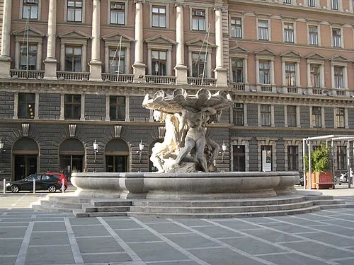 Postal and Telegraphic Museum of Central Europe Museum, Trieste3.8 km NW
-
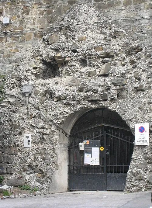 Kleines Berlin Museum, Trieste3.8 km N
-
Monte Castiglione Mountain, Trieste2.1 km E
-
Montebello Mountain, Trieste2.3 km NE
-
Monte Spaccato Mountain, Trieste4.1 km NE
-
Montefiascone Mountain, Trieste4.5 km N
Nearest towns and villages
Sources & licences
Data last updated: · 2 independent sources