Gonars
Located in Province of Udine, Friuli Venezia Giulia Coordinates: 45°53′45″ N 13°14′14″ E
- Population
- 4,680
- 4.7K
- Elevation
- 20 m
- above sea level
- Local time
- UTC+01:00
- Europe/Rome · UTC+01:00
- Places inside
- 4
- listed under Gonars
- Airports
- TRS Trieste Airport19 km
- VCE Venice Marco Polo Airport81 km
About Gonars
Gonars is a municipality. Location: Province of Udine, Friuli Venezia Giulia. Population: 4,680. Elevation: 20 m. The best months to visit are May, September. The nearest airport is Trieste Airport (19 km). Nearby sights include Basilica di Aquileia and Stadio Friuli.
Climate of Gonars
Best months for sightseeingBest months for sightseeing: May, September.
This month · November
A wet month
Day 13° · Night 4° · Rain 118 mm
- Hottest month
- July (day 29°)
- Coldest month
- January (night 0°)
- Wettest month
- October (145 mm)
- Driest month
- February (61 mm)
Bars: average monthly low and high temperature. Below: precipitation. Monthly averages for 1970–2000 at about 18 km resolution, adjusted for elevation. Highlighted months are mild and relatively dry. Source: WorldClim 2.1 (CC BY 4.0).
Show values as a table
| Month | Jan | Feb | Mar | Apr | May | Jun | Jul | Aug | Sep | Oct | Nov | Dec |
|---|---|---|---|---|---|---|---|---|---|---|---|---|
| Average high (°C) | 8° | 10° | 14° | 17° | 23° | 26° | 29° | 29° | 24° | 19° | 13° | 9° |
| Average low (°C) | 0° | 0° | 4° | 7° | 12° | 15° | 17° | 17° | 13° | 9° | 4° | 1° |
| Precipitation (mm) | 84 | 61 | 90 | 116 | 111 | 135 | 81 | 101 | 130 | 145 | 118 | 102 |
How to get to Gonars
The nearest airport is Trieste Airport (TRS), 19 km to the southeast as the crow flies. The nearest large city is Ljubljana, 100 km to the east.
Airports
- Trieste Airport (TRS) Ronchi dei Legionari/Trieste 19 kmsoutheast
- Venice Marco Polo Airport (VCE) Venezia (VE) 81 kmsouthwest
- Treviso Airport (TSF) Treviso (TV) 86 kmwest
Nearby large cities
- Ljubljana Population: 272.2K 100 kmeast
- Rijeka Population: 108K 113 kmsoutheast
- Klagenfurt Population: 100.3K 116 kmnortheast
- Innsbruck Population: 132.5K 207 kmnorthwest
- Salzburg Population: 157.2K 212 kmnorth
Straight-line distances; road distances are longer. Airport data: OurAirports.
Day trips from Gonars
Within 100 km: 78 historic and cultural sites, 641 natural sites, 113 lakes, rivers and coasts.
0–25 km6 places
- Ísola Morgo Island 22 kmS
- Monte San Blagio Mountain 19 kmNE
- Colle Sant'Elia Mountain 20 kmE
- Basilica di Aquileia Attraction 17 kmSE
25–60 km146 places
- Raša River 51 kmE
- Markovec Mountain 54 kmSE
- Prestreljenik Mountain 55 kmN
- Krn Mountain 53 kmNE
60–100 km680 places
- Burano Island 78 kmSW
- Sacca Fisola Island 89 kmSW
- San Clemente Island 89 kmSW
- Lake Bohinj Lake 65 kmNE
Straight-line distances.
Places in Gonars
4 placesBar: population relative to the most populous place in this list.
Nearby attractions & nature
Everything nearby-
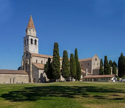 Basilica di Aquileia Attraction, Aquileia17 km SE
-
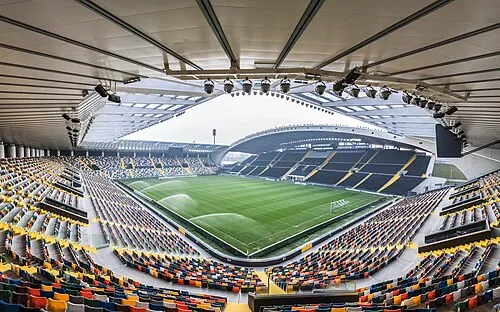 Stadio Friuli Landmark, Udine21 km N
-
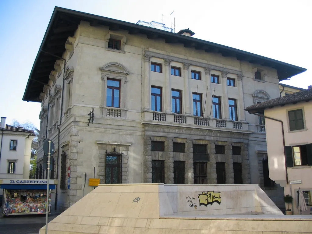 Palazzo Antonini Historic site, Udine19 km N
-
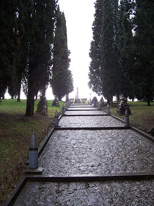 Colle Sant'Elia Mountain, San Pier d'Isonzo20 km E
-
Monte San Blagio Mountain, Manzano19 km NE
-
Ísola Morgo Island, Friuli Venezia Giulia22 km S
Sources & licences
Data last updated: