Malborghetto Valbruna
Located in Province of Udine, Friuli Venezia Giulia Coordinates: 46°30′25″ N 13°26′21″ E
- Population
- 923
- 923
- Elevation
- 723 m
- above sea level
- Local time
- UTC+01:00
- Europe/Rome · UTC+01:00
- Places inside
- 15
- listed under Malborghetto Valbruna
- Airports
- KLU Klagenfurt Airport71 km
- TRS Trieste Airport76 km
About Malborghetto Valbruna
Malborghetto Valbruna is a municipality. Location: Province of Udine, Friuli Venezia Giulia. Population: 923. Elevation: 723 m. The best months to visit are June–August. The nearest airport is Klagenfurt Airport (71 km). Nearby sights include Val Canale and Val Rauna.
Photos of Malborghetto Valbruna
-
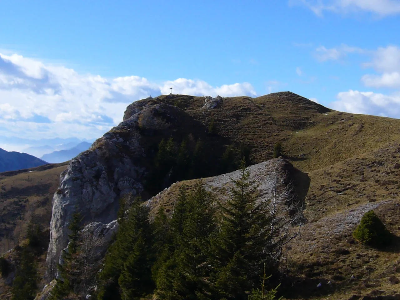
Sagranberg Alecobbe · CC BY-SA 4.0 -
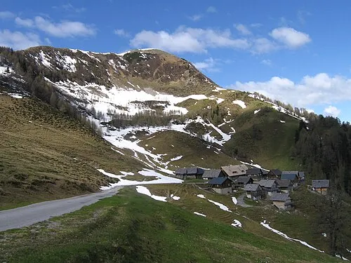
Poludnig JakobZ · CC BY-SA 3.0 -
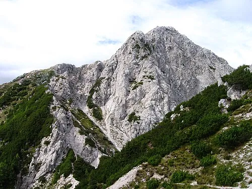
Jôf di Miezegnot JakobZ · CC BY-SA 3.0 -
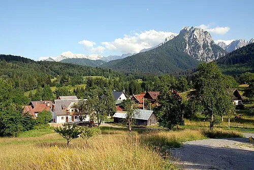
Val Canale Johann Jaritz · CC BY-SA 3.0


Climate of Malborghetto Valbruna
Best months for sightseeingBest months for sightseeing: June–August.
This month · November
A wet month
Day 8° · Night 0° · Rain 150 mm
- Hottest month
- July (day 23°)
- Coldest month
- January (night -5°)
- Wettest month
- June (169 mm)
- Driest month
- February (69 mm)
Bars: average monthly low and high temperature. Below: precipitation. Monthly averages for 1970–2000 at about 18 km resolution, adjusted for elevation. Highlighted months are mild and relatively dry. Source: WorldClim 2.1 (CC BY 4.0).
Show values as a table
| Month | Jan | Feb | Mar | Apr | May | Jun | Jul | Aug | Sep | Oct | Nov | Dec |
|---|---|---|---|---|---|---|---|---|---|---|---|---|
| Average high (°C) | 3° | 5° | 9° | 12° | 18° | 21° | 23° | 23° | 19° | 14° | 8° | 4° |
| Average low (°C) | -5° | -4° | -1° | 2° | 7° | 11° | 13° | 13° | 9° | 5° | 0° | -3° |
| Precipitation (mm) | 84 | 69 | 99 | 131 | 147 | 169 | 165 | 147 | 157 | 163 | 150 | 106 |
How to get to Malborghetto Valbruna
The nearest airport is Klagenfurt Airport (KLU), 71 km to the east as the crow flies. The nearest large city is Klagenfurt, 68 km to the east.
Airports
- Klagenfurt Airport (KLU) Klagenfurt am Wörthersee 71 kmeast
- Trieste Airport (TRS) Ronchi dei Legionari/Trieste 76 kmsouth
- Ljubljana Jože Pučnik Airport (LJU) Zgornji Brnik 84 kmeast
Nearby large cities
- Klagenfurt Population: 100.3K 68 kmeast
- Ljubljana Population: 272.2K 97 kmsoutheast
- Salzburg Population: 157.2K 147 kmnorth
- Rijeka Population: 108K 153 kmsoutheast
- Graz Population: 303.3K 165 kmnortheast
Straight-line distances; road distances are longer. Airport data: OurAirports.
Day trips from Malborghetto Valbruna
Within 100 km: 174 historic and cultural sites, 2,273 natural sites, 600 lakes, rivers and coasts.
0–25 km151 places
- Prestreljenik Mountain 16 kmS
- Vršič Mountain 25 kmE
- Planica Natural site 22 kmE
- Mangrt Mountain 18 kmSE
25–60 km671 places
- Lake Bohinj Lake 41 kmSE
- Lake Bled Lake 53 kmE
- Triglav Mountain 34 kmSE
- Rjavina Mountain 36 kmE
60–100 km2,225 places
- Raša River 84 kmSE
- Šmarna gora Mountain 89 kmSE
- Mrzla Gora Mountain 89 kmE
- Hrušica Mountain 93 kmSE
Straight-line distances.
Places in Malborghetto Valbruna
15 places- 1 Ugovizza 315
- 2 Malborghetto Valbruna 245
- 3 Valbruna 188
- 4 Bagni di Lusnizza 96
- 5 Cucco 76
- 6 Santa Caterina 9
Bar: population relative to the most populous place in this list.
Mountains & nature9
- Jôf di Miezegnot · Mountain
- Modeon del Buinz · Mountain
- Monte Acuto · Mountain
- Monte Carnizza · Mountain
- Monte Cucco · Mountain
- Monte Nabois · Mountain
- Monte Nebria · Mountain
- Punta Lonas · Mountain
- Stabet · Mountain
Nearby attractions & nature
Everything nearby-
Val Canale Natural site, Friuli Venezia Giulia3.1 km SW
-
Val Rauna Natural site, Friuli Venezia Giulia3.5 km NE
-
Monte Pin Mountain, Pontebba5.7 km W
-
Vallone di Rio Bianco Natural site, Friuli Venezia Giulia5.7 km NW
-
Monte Scinuz Mountain, Pontebba6.3 km NW
-
Monte Simauz Mountain, Pontebba6.3 km NW
-
Poludnig Mountain, Italy6.8 km N
-
Sagranberg Mountain, St. Stefan im Gailtal7 km N
Sources & licences
Data last updated: