- Population
- 41
- 41
- Elevation
- 502 m
- above sea level
- Local time
- UTC+01:00
- Europe/Rome · UTC+01:00
- Airports
- CIA Ciampino–G. B. Pastine International Airport60 km
- FCO Rome–Fiumicino Leonardo da Vinci International Airport89 km
About Torretta
Torretta is a village. Location: Guarcino, Province of Frosinone. Population: 41. Elevation: 502 m. The best months to visit are May–June, September. The nearest airport is Ciampino–G. B. Pastine International Airport (60 km). Nearby sights include La Monna and Valle Fiume.
Climate of Torretta
Best months for sightseeingBest months for sightseeing: May–June, September.
This month · November
A wet month
Day 13° · Night 5° · Rain 133 mm
- Hottest month
- August (day 28°)
- Coldest month
- January (night 1°)
- Wettest month
- November (133 mm)
- Driest month
- July (49 mm)
Bars: average monthly low and high temperature. Below: precipitation. Monthly averages for 1970–2000 at about 18 km resolution, adjusted for elevation. Highlighted months are mild and relatively dry. Source: WorldClim 2.1 (CC BY 4.0).
Show values as a table
| Month | Jan | Feb | Mar | Apr | May | Jun | Jul | Aug | Sep | Oct | Nov | Dec |
|---|---|---|---|---|---|---|---|---|---|---|---|---|
| Average high (°C) | 9° | 10° | 12° | 15° | 20° | 24° | 28° | 28° | 24° | 19° | 13° | 10° |
| Average low (°C) | 1° | 1° | 4° | 6° | 10° | 14° | 16° | 17° | 14° | 10° | 5° | 2° |
| Precipitation (mm) | 76 | 78 | 67 | 85 | 70 | 53 | 49 | 56 | 91 | 121 | 133 | 102 |
How to get to Torretta
The nearest airport is Ciampino–G. B. Pastine International Airport (CIA), 60 km to the west as the crow flies. The nearest large city is Split, 320 km to the northeast.
Airports
- Ciampino–G. B. Pastine International Airport (CIA) Rome 60 kmwest
- Rome–Fiumicino Leonardo da Vinci International Airport (FCO) Rome 89 kmwest
- Abruzzo Airport (PSR) Pescara 102 kmnortheast
Nearby large cities
- Split Population: 149.8K 320 kmnortheast
Straight-line distances; road distances are longer. Airport data: OurAirports.
Day trips from Torretta
Within 100 km: 191 historic and cultural sites, 275 natural sites, 42 lakes, rivers and coasts.
0–25 km10 places
- Monte Viglio Mountain 13 kmN
- Catena della Renga Mountain 19 kmN
- Serra Lunga Mountain 25 kmE
- La Monna Mountain 5 kmNE
25–60 km151 places
- Sombrero Beach 55 kmS
- Lido di Latino Beach 56 kmSW
- Spiaggia di Sperlonga Beach 59 kmS
- Spiaggia di Porto Badino Beach 56 kmS
60–100 km347 places
- Valle Cerrese Natural site 82 kmNW
- La Bussola Beach 63 kmS
- Spiaggia delle Bambole Beach 61 kmS
- Spiaggia Dell'Agave Beach 66 kmS
Straight-line distances.
Nearby attractions & nature
Everything nearby-
La Monna Mountain, Vico nel Lazio4.8 km NE
-
Valle Fiume Natural site, Lazio7 km E
-
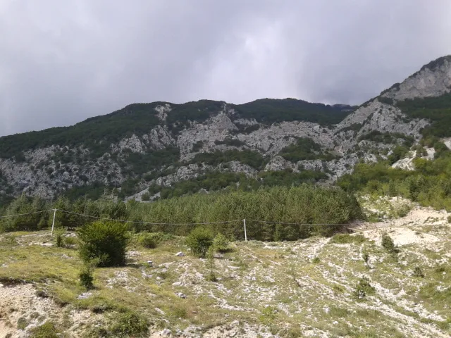 Monte Viglio Mountain, Civitella Roveto13 km N
-
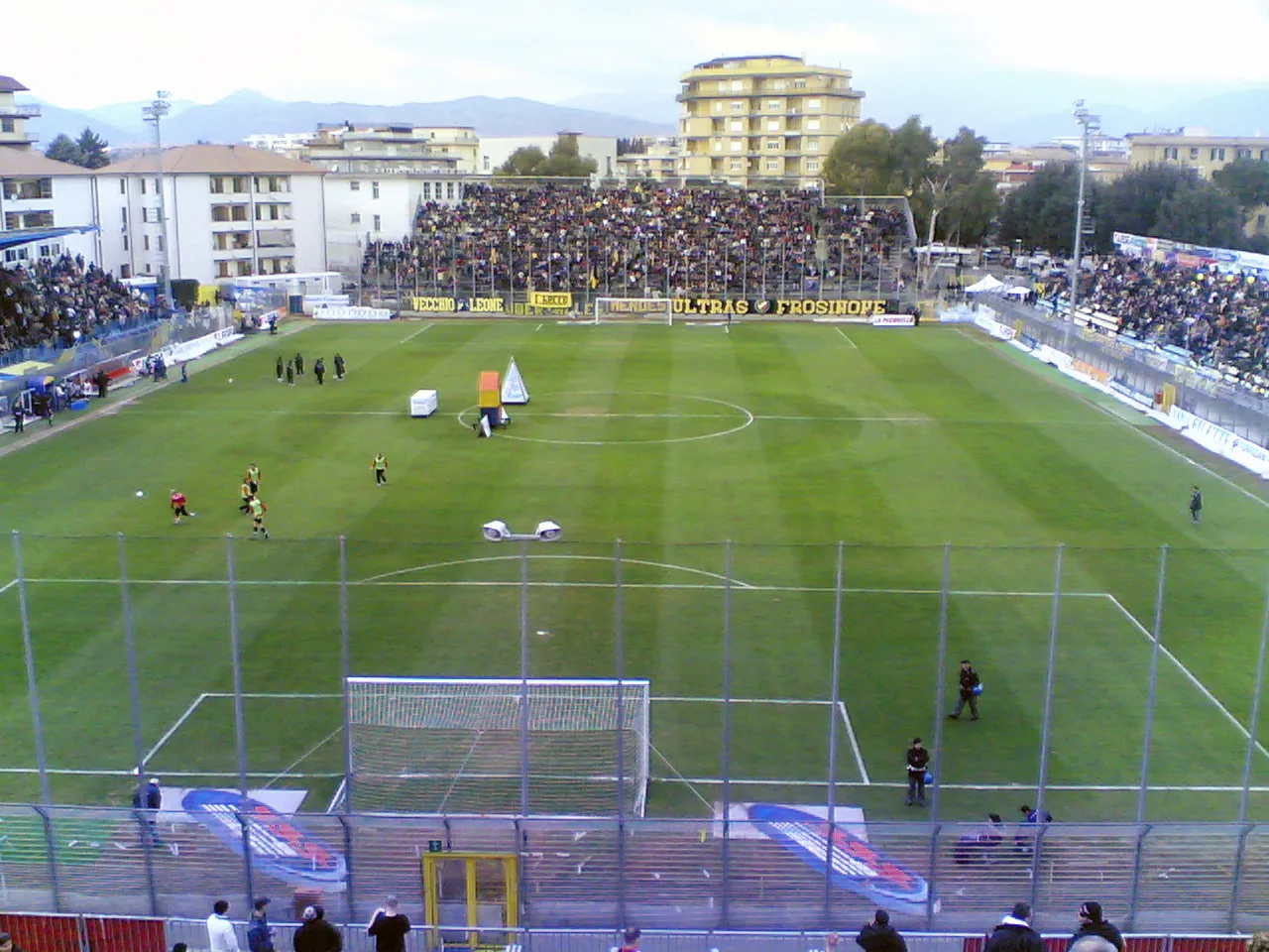 Stadio Matusa Landmark, Frosinone16 km S
-
 Castello di Monte San Giovanni Campano Historic site, Monte San Giovanni Campano23 km SE
-
Monte Alto Mountain, Morolo20 km SW
Sources & licences
Data last updated: · 2 independent sources