- Population
- 489,083
- 489.1K
- Elevation
- 176 m
- above sea level
- Local time
- UTC+01:00
- Europe/Rome · UTC+01:00
- Places inside
- 91
- listed under Province of Frosinone
- Airports
- CIA Ciampino–G. B. Pastine International Airport74 km
- FCO Rome–Fiumicino Leonardo da Vinci International Airport102 km
About Province of Frosinone
Province of Frosinone is a district. Location: Lazio, Italy. Population: 489,083. The best months to visit are May–June, September. The nearest airport is Ciampino–G. B. Pastine International Airport (74 km). Nearby sights include Valle Fiume and Monte Alto.
Photos of Province of Frosinone
-

Roccaguglielma Carlo.iossa · Public domain -

Castello di Monte San Giovanni Campano Io · CC BY 3.0 -
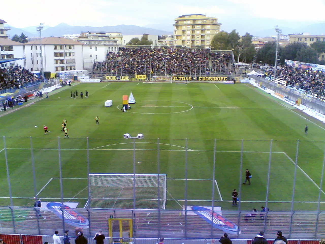
Stadio Matusa Ripetto · CC BY-SA 3.0 -
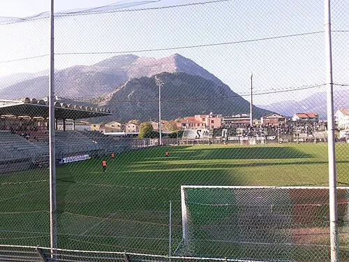
Stadio Claudio Tomei Shapiro1983 at Italian Wikipedia · Public domain


Climate of Province of Frosinone
Best months for sightseeingBest months for sightseeing: May–June, September.
This month · November
A wet month
Day 15° · Night 6° · Rain 167 mm
- Hottest month
- August (day 30°)
- Coldest month
- January (night 2°)
- Wettest month
- November (167 mm)
- Driest month
- July (39 mm)
Bars: average monthly low and high temperature. Below: precipitation. Monthly averages for 1970–2000 at about 18 km resolution, adjusted for elevation. Highlighted months are mild and relatively dry. Source: WorldClim 2.1 (CC BY 4.0).
Show values as a table
| Month | Jan | Feb | Mar | Apr | May | Jun | Jul | Aug | Sep | Oct | Nov | Dec |
|---|---|---|---|---|---|---|---|---|---|---|---|---|
| Average high (°C) | 11° | 12° | 15° | 17° | 22° | 27° | 30° | 30° | 26° | 21° | 15° | 12° |
| Average low (°C) | 2° | 3° | 5° | 7° | 11° | 15° | 17° | 18° | 15° | 11° | 6° | 3° |
| Precipitation (mm) | 101 | 96 | 82 | 98 | 65 | 43 | 39 | 56 | 94 | 135 | 167 | 136 |
How to get to Province of Frosinone
The nearest airport is Ciampino–G. B. Pastine International Airport (CIA), 74 km to the west as the crow flies. The nearest large city is Split, 323 km to the northeast.
Airports
- Ciampino–G. B. Pastine International Airport (CIA) Rome 74 kmwest
- Rome–Fiumicino Leonardo da Vinci International Airport (FCO) Rome 102 kmwest
- Naples International Airport (NAP) Napoli 107 kmsoutheast
Nearby large cities
- Split Population: 149.8K 323 kmnortheast
Straight-line distances; road distances are longer. Airport data: OurAirports.
Day trips from Province of Frosinone
Within 100 km: 184 historic and cultural sites, 239 natural sites, 45 lakes, rivers and coasts.
0–25 km14 places
- Cimarone del Villaneto Mountain 23 kmE
- Monte Sentinella Mountain 24 kmW
- Monte Pastenese Mountain 22 kmS
- Monte Occhio Mountain 20 kmE
25–60 km155 places
- Sombrero Beach 41 kmSW
- La Bussola Beach 51 kmSW
- Spiaggia delle Bambole Beach 42 kmS
- Spiaggia Dell'Agave Beach 45 kmS
60–100 km299 places
- Valle Covatta Natural site 97 kmE
- S.L.O Rodolfo beach Beach 81 kmSE
- Lido di Liccola Beach 96 kmSE
- Marina di Varcaturo Beach 93 kmSE
Straight-line distances.
Places in Province of Frosinone
91 places- 61 Campoli Appennino 1.7K
- 62 Trivigliano 1.7K
- 63 Coreno Ausonio 1.6K
- 64 Guarcino 1.6K
- 65 Vallerotonda 1.5K
- 66 Pescosolido 1.5K
- 67 Sant'Andrea del Garigliano 1.4K
- 68 Pastena 1.4K
- 69 Torre Cajetani 1.3K
- 70 Santopadre 1.3K
- 71 Fontechiari 1.3K
- 72 Gallinaro 1.3K
- 73 Villa Latina 1.2K
- 74 Picinisco 1.1K
- 75 Posta Fibreno 1.1K
- 76 Sant'Ambrogio sul Garigliano 964
- 77 Rocca d'Arce 948
- 78 Collepardo 931
- 79 Vallemaio 924
- 80 Castelnuovo Parano 875
- 81 Vicalvi 755
- 82 Settefrati 729
- 83 Belmonte Castello 698
- 84 Colle San Magno 664
- 85 Casalattico 546
- 86 Falvaterra 545
- 87 Filettino 522
- 88 Terelle 353
- 89 San Biagio Saracinisco 319
- 90 Viticuso 309
- 91 Acquafondata 266
Bar: population relative to the most populous place in this list.
Nature and heritage in Province of Frosinone
Nearby attractions & nature
Everything nearby-
Valle Fiume Natural site, Lazio19 km N
-
Monte Alto Mountain, Prossedi23 km SW
-
Monte Sentinella Mountain, Maenza24 km W
Sources & licences
Data last updated: