Lucus Feroniae
Located in Capena, Province of Rome Coordinates: 42°07′48″ N 12°35′49″ E

- Local time
- UTC+01:00
- Europe/Rome · UTC+01:00
- Elevation
- 54 m
- above sea level
- Airports
- CIA Ciampino–G. B. Pastine International Airport37 km
- FCO Rome–Fiumicino Leonardo da Vinci International Airport46 km
About Lucus Feroniae
Lucus Feroniae is a historic site. Location: Capena, Province of Rome.
Lucus Feroniae was an ancient sanctuary or, literally sacred grove ("lucus"), dedicated to the Sabine goddess Feronia, protector of freedmen, ex-slaves. It was located near to the ancient town of Feronia in Etruria on the ancient Via Tiberina, in what is now the territory of the modern commune of Capena, Lazio. It was partially excavated when the A1 Rome-Milan motorway which crosses it was built, and the archaeological site is adjacent to that of the ancient Roman Villa dei Volusii.
Source: Wikipedia · CC BY-SA 4.0
At a glance
- Heritage designation
- Italian national heritage
- Area
- 0.1 ha
- Visitors per year
- 4,556 (2022)
- Official website
- musei.beniculturali.it
Source: Wikidata
Photos of Lucus Feroniae
-

Carole Raddato · CC BY-SA 2.0 -
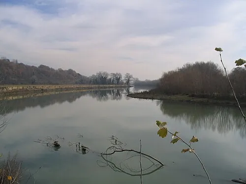
Valle del Tevere Patatebollenti · CC BY-SA 3.0 -

Carole Raddato · CC BY-SA 2.0


Climate of Lucus Feroniae
Best months for sightseeingBest months for sightseeing: May, October.
This month · November
Outside the best season
Day 16° · Night 7° · Rain 83 mm
- Hottest month
- August (day 32°)
- Coldest month
- January (night 3°)
- Wettest month
- November (83 mm)
- Driest month
- July (17 mm)
Bars: average monthly low and high temperature. Below: precipitation. Monthly averages for 1970–2000 at about 18 km resolution, adjusted for elevation. Highlighted months are mild and relatively dry. Source: WorldClim 2.1 (CC BY 4.0).
Show values as a table
| Month | Jan | Feb | Mar | Apr | May | Jun | Jul | Aug | Sep | Oct | Nov | Dec |
|---|---|---|---|---|---|---|---|---|---|---|---|---|
| Average high (°C) | 12° | 13° | 16° | 18° | 23° | 28° | 31° | 32° | 27° | 22° | 16° | 13° |
| Average low (°C) | 3° | 4° | 6° | 8° | 12° | 16° | 18° | 19° | 15° | 12° | 7° | 4° |
| Precipitation (mm) | 60 | 55 | 49 | 50 | 39 | 31 | 17 | 32 | 57 | 76 | 83 | 68 |
How to get to Lucus Feroniae
The nearest airport is Ciampino–G. B. Pastine International Airport (CIA), 37 km to the south as the crow flies. The nearest large city is Split, 350 km to the northeast.
Airports
- Ciampino–G. B. Pastine International Airport (CIA) Rome 37 kmsouth
- Rome–Fiumicino Leonardo da Vinci International Airport (FCO) Rome 46 kmsouthwest
- Perugia San Francesco d'Assisi – Umbria International Airport (PEG) Perugia (PG) 108 kmnorth
Nearby large cities
- Split Population: 149.8K 350 kmnortheast
- Rijeka Population: 108K 385 kmnorth
Straight-line distances; road distances are longer. Airport data: OurAirports.
Day trips from Lucus Feroniae
Within 100 km: 135 historic and cultural sites, 229 natural sites, 29 lakes, rivers and coasts.
0–25 km20 places
- Monte Piscina Mountain 11 kmS
- Monte Tancia Mountain 24 kmNE
- Monte Soratte Mountain 16 kmNW
- Monte Pacciano Mountain 6 kmNW
25–60 km171 places
- Valle Cerrese Natural site 25 kmN
- Campo di Mare Beach 50 kmW
- Spiaggia di Rio Torto Beach 59 kmS
- Spiaggia Torvaianica Beach 57 kmS
60–100 km202 places
- Boca Do Mar Beach 71 kmW
- Ultima Spiaggia Beach 99 kmW
- Siaggia delle graticciare Beach 98 kmW
- Lido di Latino Beach 83 kmS
Straight-line distances.
Nearby attractions & nature
Everything nearby-
Valle del Tevere Natural site, Lazio1.2 km W
-
Monte Pacciano Mountain, Civitella San Paolo5.6 km NW
-
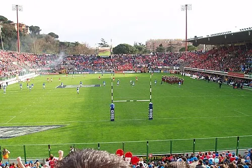 Stadio Flaminio Landmark, Municipio Roma II25 km SW
-
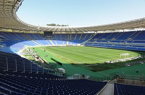 Stadio Olimpico Landmark, Municipio Roma XV25 km SW
-
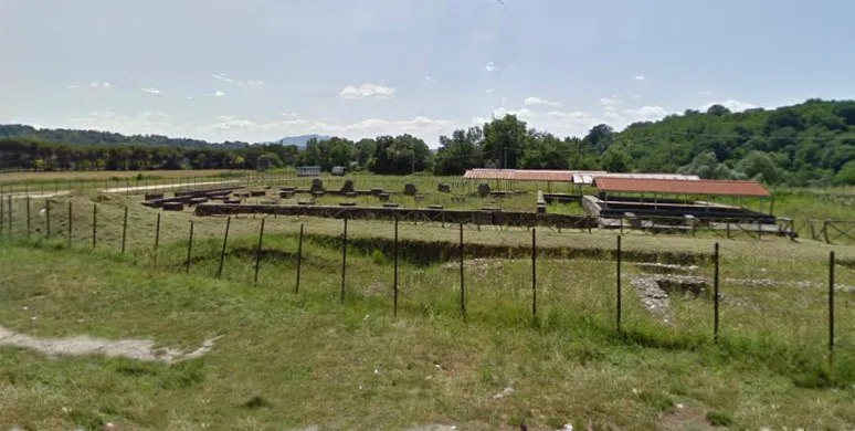 Forum Novum Historic site, Torri in Sabina22 km N
-
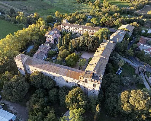 Castello di Lunghezza Historic site, Municipio Roma VI23 km S
-
Monte di Massa Mountain, Municipio Roma III11 km S
-
Monte Piscina Mountain, Municipio Roma III11 km S
Nearest towns and villages
-
Bivio di Capanelle Village, Capena1.2 km S
-
Rosetoli-Maleranca Village, Capena1.7 km W
-
Fiano Romano Town, Fiano Romano2.8 km N
-
Fiano Romano Municipality, Province of Rome3.3 km N
Sources & licences
Data last updated: · 2 independent sources