Calcinato
Located in Province of Brescia, Lombardy Coordinates: 45°27′26″ N 10°24′49″ E
- Population
- 12,993
- 13K
- Elevation
- 139 m
- above sea level
- Local time
- UTC+01:00
- Europe/Rome · UTC+01:00
- Places inside
- 15
- listed under Calcinato
- Airports
- VBS Brescia Gabriele d'Annunzio Airport7 km
- VRN Verona Villafranca Valerio Catullo Airport38 km
About Calcinato
Calcinato is a municipality. Location: Province of Brescia, Lombardy. Population: 12,993. Elevation: 139 m. The best months to visit are May–June, September. The nearest airport is Brescia Gabriele d'Annunzio Airport (7 km). Nearby sights include Monte Nuvolo and Museo di Santa Giulia.
Climate of Calcinato
Best months for sightseeingBest months for sightseeing: May–June, September.
This month · November
A cold month
Day 10° · Night 3° · Rain 67 mm
- Hottest month
- July (day 29°)
- Coldest month
- January (night -2°)
- Wettest month
- October (103 mm)
- Driest month
- February (41 mm)
Bars: average monthly low and high temperature. Below: precipitation. Monthly averages for 1970–2000 at about 18 km resolution, adjusted for elevation. Highlighted months are mild and relatively dry. Source: WorldClim 2.1 (CC BY 4.0).
Show values as a table
| Month | Jan | Feb | Mar | Apr | May | Jun | Jul | Aug | Sep | Oct | Nov | Dec |
|---|---|---|---|---|---|---|---|---|---|---|---|---|
| Average high (°C) | 5° | 8° | 13° | 17° | 22° | 26° | 29° | 28° | 24° | 17° | 10° | 6° |
| Average low (°C) | -2° | -1° | 3° | 6° | 11° | 15° | 18° | 17° | 13° | 8° | 3° | -1° |
| Precipitation (mm) | 63 | 41 | 54 | 62 | 79 | 77 | 68 | 78 | 80 | 103 | 67 | 57 |
How to get to Calcinato
The nearest airport is Brescia Gabriele d'Annunzio Airport (VBS), 7 km to the southwest as the crow flies. For international flights: Verona Villafranca Valerio Catullo Airport (VRN) (38 km). The nearest large city is Innsbruck, 214 km to the north.
Airports
- Brescia Gabriele d'Annunzio Airport (VBS) Montichiari (BS) 7 kmsouthwest
- Verona Villafranca Valerio Catullo Airport (VRN) Caselle (VR) 38 kmeast
- Il Caravaggio International Airport (BGY) Orio al Serio (BG) 60 kmnorthwest
Nearby large cities
- Innsbruck Population: 132.5K 214 kmnorth
- Zurich Population: 415.4K 256 kmnorthwest
- Winterthur Population: 111.8K 262 kmnorthwest
- Bern Population: 121.6K 283 kmnorthwest
- Munich Population: 1.5M 311 kmnorth
Straight-line distances; road distances are longer. Airport data: OurAirports.
Day trips from Calcinato
Within 100 km: 65 historic and cultural sites, 737 natural sites, 6 lakes, rivers and coasts.
0–25 km20 places
- Monte Maddalena Mountain 14 kmNW
- Monte Rocchetta Mountain 11 kmS
- Monte Nuvolo Mountain 7 kmSE
- Monte Rosso Mountain 11 kmSE
25–60 km137 places
- Dosso Rotondo Mountain 57 kmNE
- Monte Bronzone Mountain 43 kmNW
- Col Plagna Mountain 54 kmNE
- Monte Guglielmo Mountain 38 kmNW
60–100 km651 places
- Spadalone Mountain 79 kmN
- Lago di Poschiavo Lake 95 kmN
- Laghet d'Ur Lake 100 kmN
- Lagh dal Mat Lake 91 kmN
Straight-line distances.
Places in Calcinato
15 places- 1 Calcinato 8.5K
- 2 Ponte San Marco 2.4K
- 3 Prati 277
- 4 Zona Industriale 249
- 5 Rovadino 65
- 6 Barconi 54
- 7 Bossotti 53
- 8 Pradella 37
- 9 Gavardina 36
- 10 Cerreto di Sotto 34
- 11 Cascina Vigna 32
- 12 Cascina Santa Teresina 31
- 13 Cascina Schiannini 23
- 14 Fenil Salò 18
- 15 Cascina Bianca 13
Bar: population relative to the most populous place in this list.
Nearby attractions & nature
Everything nearby-
Monte Nuvolo Mountain, Veneto6.8 km SE
-
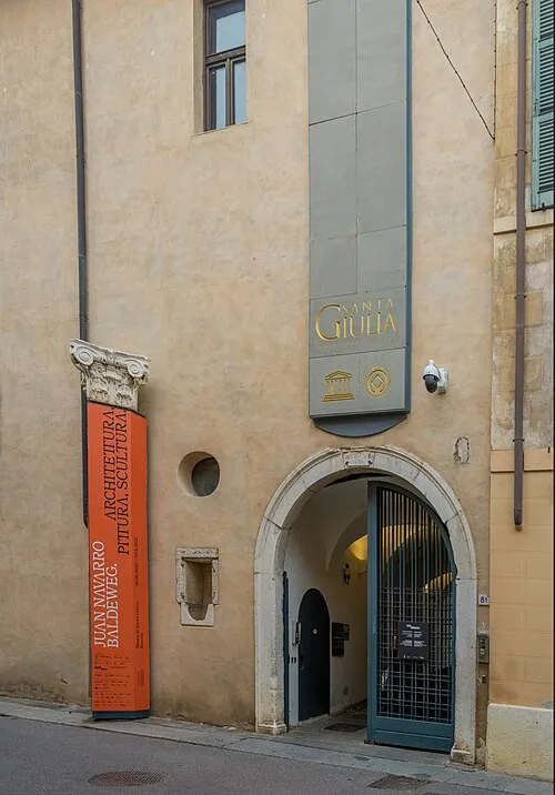 Museo di Santa Giulia Museum, Brescia17 km NW
-
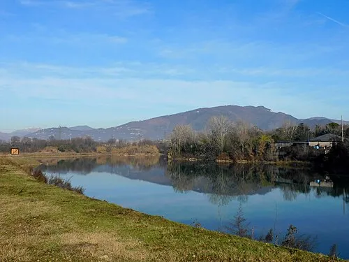 Monte Maddalena Mountain, Brescia14 km NW
-
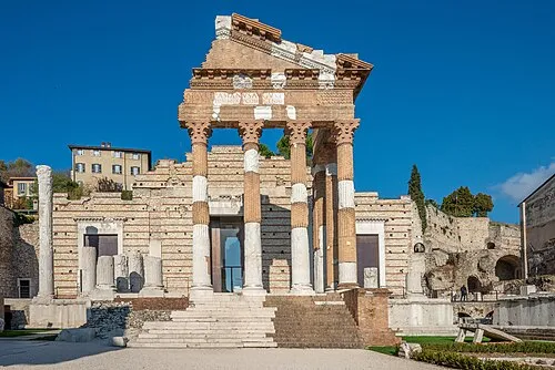 Capitolium Historic site, Brescia17 km NW
-
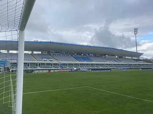 Stadio Mario Rigamonti Landmark, Brescia19 km NW
-
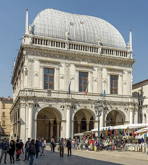 Palazzo della Loggia Historic site, Brescia18 km NW
-
Monte Rocchetta Mountain, Carpenedolo11 km S
-
Monte Rosso Mountain, Veneto11 km SE
Other cities and towns in Province of Brescia
-
 Mazzano Municipality, Province of Brescia8.4 km NW
-
Castenedolo Municipality, Province of Brescia9.3 km W
-
Nuvolera Municipality, Province of Brescia9 km NW
-
Desenzano del Garda Municipality, Province of Brescia9.5 km E
-
Rezzato Municipality, Province of Brescia9.9 km NW
-
Calvagese della Riviera Municipality, Province of Brescia8.7 km N
Sources & licences
Data last updated: