Cima Mughera
Located in Limone sul Garda, Province of Brescia Coordinates: 45°49′42″ N 10°47′32″ E
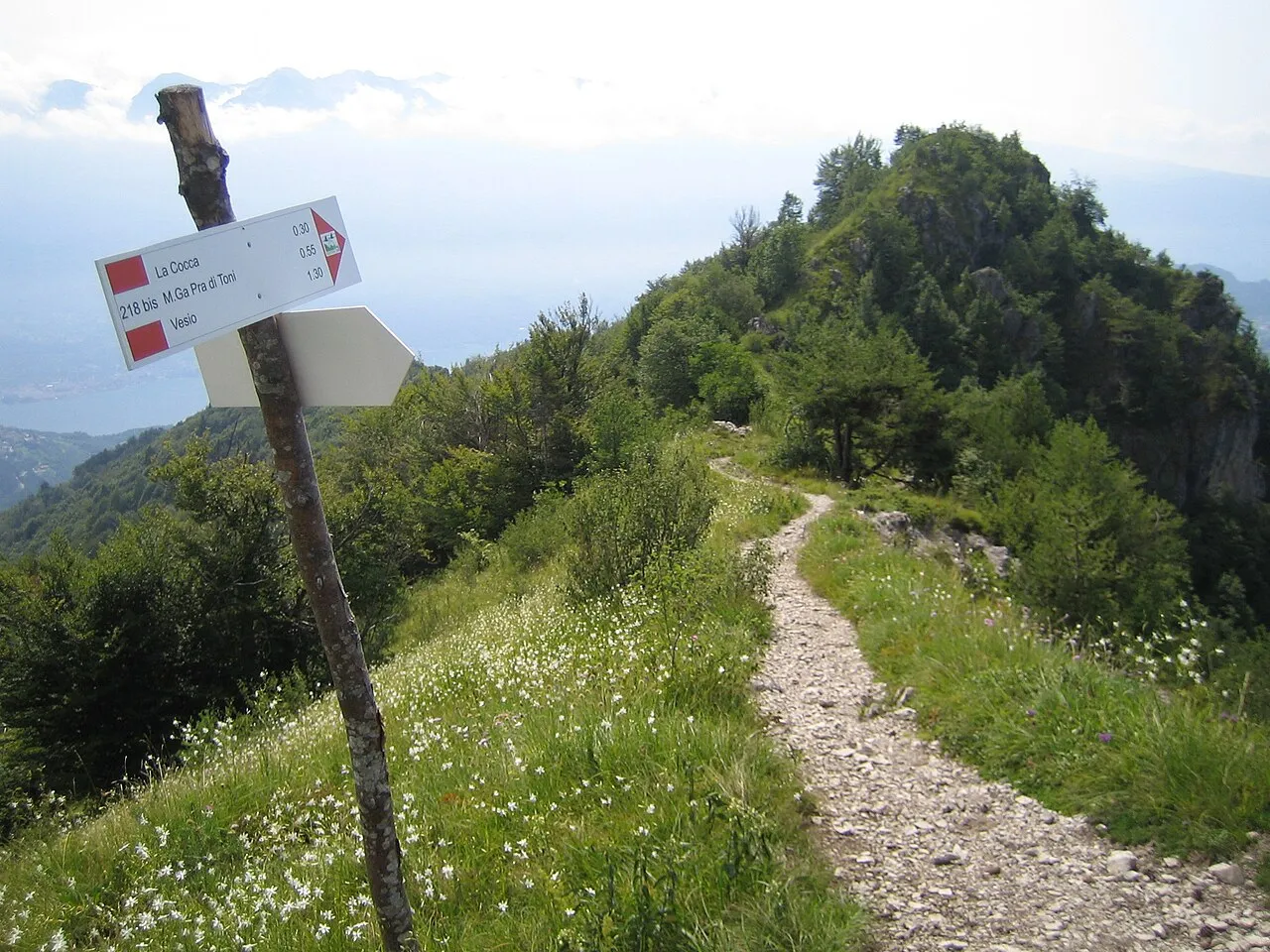
- Elevation
- 1,161 m
- above sea level
- Local time
- UTC+01:00
- Europe/Rome · UTC+01:00
- Airports
- VRN Verona Villafranca Valerio Catullo Airport49 km
- VBS Brescia Gabriele d'Annunzio Airport57 km
About Cima Mughera
Cima Mughera is a mountain. Location: Limone sul Garda, Province of Brescia. Elevation: 1,161 m. The best months to visit are June–August. The nearest airport is Verona Villafranca Valerio Catullo Airport (49 km). Nearby sights include Monte Carone and Cima dei Coi.
Photos of Cima Mughera
-
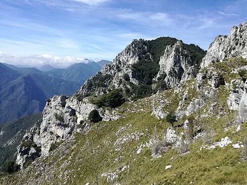
Cima Valdes Robertk9410 · CC BY-SA 4.0 -
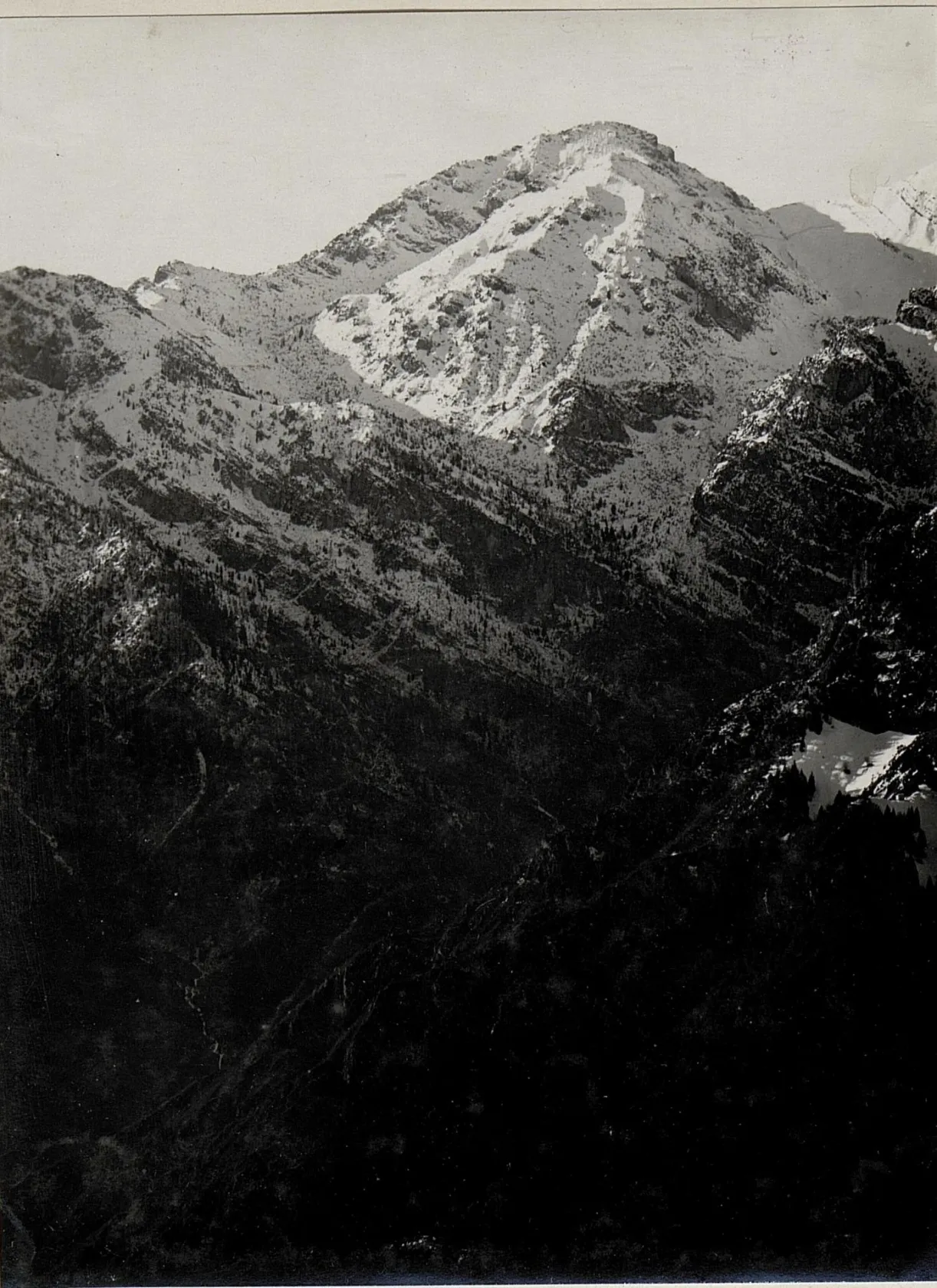
Cima di Marogna K.u.k. Kriegspressequartier, Lichtbildstelle - Wien · Public domain -
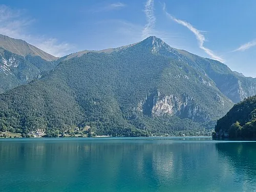
Cima d'Oro Steffen 962 · CC BY-SA 4.0


Climate of Cima Mughera
Best months for sightseeingBest months for sightseeing: June–August.
This month · November
A cold month
Day 5° · Night -2° · Rain 51 mm
- Hottest month
- July (day 21°)
- Coldest month
- January (night -6°)
- Wettest month
- October (81 mm)
- Driest month
- February (30 mm)
Bars: average monthly low and high temperature. Below: precipitation. Monthly averages for 1970–2000 at about 18 km resolution, adjusted for elevation. Highlighted months are mild and relatively dry. Source: WorldClim 2.1 (CC BY 4.0).
Show values as a table
| Month | Jan | Feb | Mar | Apr | May | Jun | Jul | Aug | Sep | Oct | Nov | Dec |
|---|---|---|---|---|---|---|---|---|---|---|---|---|
| Average high (°C) | 1° | 3° | 6° | 9° | 15° | 18° | 21° | 21° | 17° | 11° | 5° | 2° |
| Average low (°C) | -6° | -5° | -2° | 1° | 6° | 9° | 12° | 11° | 8° | 4° | -2° | -5° |
| Precipitation (mm) | 39 | 30 | 41 | 54 | 70 | 76 | 67 | 75 | 71 | 81 | 51 | 40 |
How to get to Cima Mughera
The nearest airport is Verona Villafranca Valerio Catullo Airport (VRN), 49 km to the south as the crow flies. The nearest large city is Innsbruck, 166 km to the north.
Airports
- Verona Villafranca Valerio Catullo Airport (VRN) Caselle (VR) 49 kmsouth
- Brescia Gabriele d'Annunzio Airport (VBS) Montichiari (BS) 57 kmsouthwest
- Bolzano Airport (BZO) Bolzano (BZ) 81 kmnortheast
Nearby large cities
- Innsbruck Population: 132.5K 166 kmnorth
- Zurich Population: 415.4K 242 kmnorthwest
- Winterthur Population: 111.8K 245 kmnorthwest
- Munich Population: 1.5M 264 kmnorth
- Salzburg Population: 157.2K 278 kmnortheast
Straight-line distances; road distances are longer. Airport data: OurAirports.
Day trips from Cima Mughera
Within 100 km: 45 historic and cultural sites, 1,565 natural sites, 53 lakes, rivers and coasts.
0–25 km144 places
- Dosso Rotondo Mountain 15 kmE
- Selvata Mountain 22 kmE
- Col Plagna Mountain 12 kmNW
- Monte Baldo Mountain 12 kmS
25–60 km528 places
- Spadalone Mountain 35 kmN
- Lora Mountain 29 kmE
- Dosson Mountain 52 kmNE
- Dossa Mountain 35 kmNE
60–100 km991 places
- Lago di Poschiavo Lake 74 kmNW
- Lej Languard Lake 97 kmNW
- Lago Bianco Lake 88 kmNW
- Lejs d'Albris Lake 96 kmNW
Straight-line distances.
Nearest towns and villages
-
Limone sul Garda Village, Limone sul Garda1.5 km S
-
 Molina di Ledro Village, Ledro4.9 km N
-
Pregasina Village, Riva del Garda3.5 km NE
-
 Biacesa di Ledro Village, Ledro4.3 km N
-
Bassanega Village, Tremosine sul Garda4.3 km S
-
 Vesio Village, Tremosine sul Garda5.4 km SW
Nearby attractions & nature
Everything nearby-
Monte Carone Mountain, Lombardy1.9 km NW
-
Cima dei Coi Mountain, Veneto2 km NE
-
Punta dei Larici Mountain, Veneto2.1 km NE
-
Monte Traversole Mountain, Tremosine sul Garda2.8 km W
-
Corna Vecchia Mountain, Tremosine sul Garda3 km W
-
Dos de Cala Mountain, Veneto3.4 km NE
-
Corno Nero Mountain, Limone sul Garda3.1 km W
-
Cima Bandiera Mountain, Ledro3.3 km W
Sources & licences
Data last updated: · 2 independent sources