Monticelli Brusati
Located in Province of Brescia, Lombardy Coordinates: 45°38′05″ N 10°06′01″ E
- Population
- 4,546
- 4.5K
- Elevation
- 285 m
- above sea level
- Local time
- UTC+01:00
- Europe/Rome · UTC+01:00
- Places inside
- 10
- listed under Monticelli Brusati
- Airports
- VBS Brescia Gabriele d'Annunzio Airport29 km
- BGY Il Caravaggio International Airport31 km
About Monticelli Brusati
Monticelli Brusati is a municipality. Location: Province of Brescia, Lombardy. Population: 4,546. Elevation: 285 m. The best months to visit are May–June, September. The nearest airport is Brescia Gabriele d'Annunzio Airport (29 km). Nearby sights include Stadio Mario Rigamonti and Museo di Santa Giulia.
Climate of Monticelli Brusati
Best months for sightseeingBest months for sightseeing: May–June, September.
This month · November
A cold month
Day 10° · Night 2° · Rain 71 mm
- Hottest month
- July (day 28°)
- Coldest month
- January (night -2°)
- Wettest month
- October (107 mm)
- Driest month
- February (41 mm)
Bars: average monthly low and high temperature. Below: precipitation. Monthly averages for 1970–2000 at about 18 km resolution, adjusted for elevation. Highlighted months are mild and relatively dry. Source: WorldClim 2.1 (CC BY 4.0).
Show values as a table
| Month | Jan | Feb | Mar | Apr | May | Jun | Jul | Aug | Sep | Oct | Nov | Dec |
|---|---|---|---|---|---|---|---|---|---|---|---|---|
| Average high (°C) | 5° | 8° | 12° | 16° | 21° | 25° | 28° | 27° | 23° | 17° | 10° | 6° |
| Average low (°C) | -2° | -1° | 2° | 6° | 11° | 14° | 17° | 17° | 13° | 8° | 2° | -1° |
| Precipitation (mm) | 65 | 41 | 60 | 70 | 93 | 90 | 78 | 86 | 94 | 107 | 71 | 57 |
How to get to Monticelli Brusati
The nearest airport is Brescia Gabriele d'Annunzio Airport (VBS), 29 km to the southeast as the crow flies. For international flights: Il Caravaggio International Airport (BGY) (31 km). The nearest large city is Innsbruck, 206 km to the northeast.
Airports
- Brescia Gabriele d'Annunzio Airport (VBS) Montichiari (BS) 29 kmsoutheast
- Il Caravaggio International Airport (BGY) Orio al Serio (BG) 31 kmwest
- Verona Villafranca Valerio Catullo Airport (VRN) Caselle (VR) 67 kmsoutheast
Nearby large cities
- Innsbruck Population: 132.5K 206 kmnortheast
- Zurich Population: 415.4K 226 kmnorthwest
- Winterthur Population: 111.8K 233 kmnorthwest
- Bern Population: 121.6K 251 kmnorthwest
- Lausanne Population: 139.1K 286 kmwest
Straight-line distances; road distances are longer. Airport data: OurAirports.
Day trips from Monticelli Brusati
Within 100 km: 82 historic and cultural sites, 1,380 natural sites, 99 lakes, rivers and coasts.
0–25 km22 places
- Monte Bronzone Mountain 12 kmNW
- Monte Maddalena Mountain 17 kmSE
- Monte Guglielmo Mountain 14 kmN
- Monte Tre Cornelli Mountain 24 kmE
25–60 km154 places
- Col Plagna Mountain 54 kmNE
- Pizzolto Mountain 54 kmN
- Monte Baldo Mountain 59 kmE
- Cima Valdritta Mountain 59 kmE
60–100 km1,385 places
- Spadalone Mountain 74 kmNE
- Dosso Rotondo Mountain 71 kmE
- Chaviolas Island 92 kmN
- Silvaplanersee Lake 94 kmN
Straight-line distances.
Places in Monticelli Brusati
10 places- 1 Monticelli Brusati 3.6K
- 2 Parmezzana Calzana 3.3K
- 3 Fontana 804
- 4 Gaina 99
- 5 Europa 55
- 6 Cavallera 22
- 7 Belvedere 17
- 8 Campetti 16
- 9 Dosso Angelini 15
- 10 Colombaia 8
Bar: population relative to the most populous place in this list.
Nearby attractions & nature
Everything nearby-
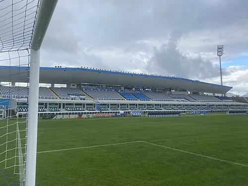 Stadio Mario Rigamonti Landmark, Brescia13 km SE
-
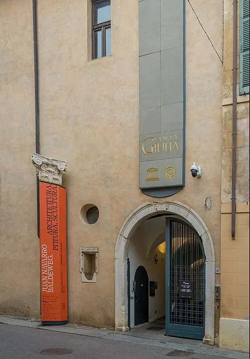 Museo di Santa Giulia Museum, Brescia15 km SE
-
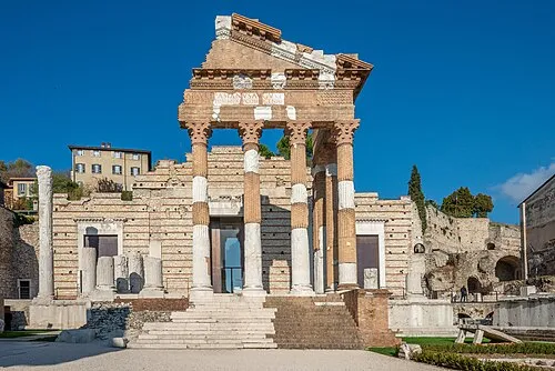 Capitolium Historic site, Brescia14 km SE
-
Monte Palosso Mountain, Concesio10 km E
-
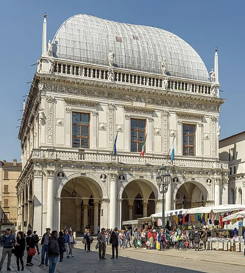 Palazzo della Loggia Historic site, Brescia14 km SE
-
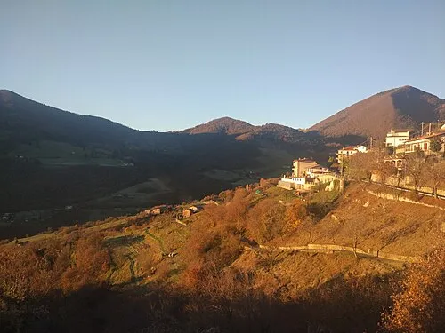 Monte Bronzone Mountain, Vigolo12 km NW
-
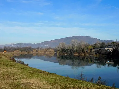 Monte Maddalena Mountain, Brescia17 km SE
-
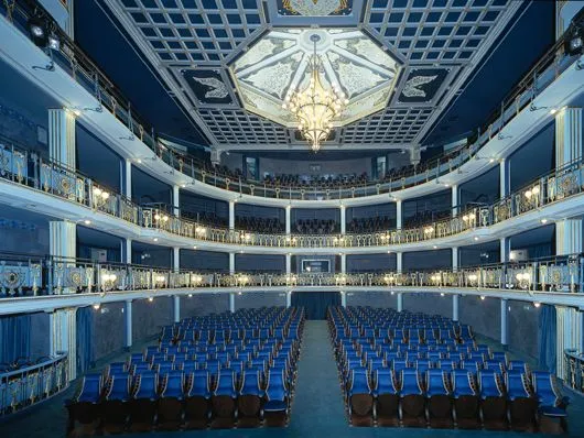 Teatro Sociale Attraction, Brescia14 km SE
Sources & licences
Data last updated: