Monte Moregallo
Located in Valmadrera, Province of Lecco Coordinates: 45°51′59″ N 9°20′24″ E
- Elevation
- 1,276 m
- above sea level
- Local time
- UTC+01:00
- Europe/Rome · UTC+01:00
- Airports
- BGY Il Caravaggio International Airport36 km
- LUG Lugano Airport37 km
About Monte Moregallo
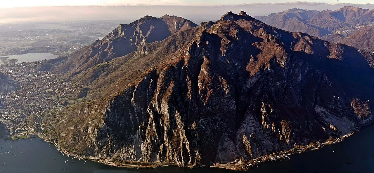
Monte Moregallo is a mountain. Location: Valmadrera, Province of Lecco. Elevation: 1,276 m.
Monte Moregallo is a mountain of Lombardy, Italy, with an elevation of 1,276 metres (4,186 ft). It is located in the Comasche Prealps, in the Province of Lecco, between Valmadrera and Mandello del Lario. Moregallo forms the eastern corner of the Larian Triangle, and is located between Lake Como and the Corni di Canzo. It has three faces, the wooded northern face and the more rugged southern and eastern faces. The peak can be reached through a long, difficult hike from Valmadrera and Mandello del Lario.
Source: Wikipedia · CC BY-SA 4.0
At a glance
- Topographic prominence
- 168 m
Source: Wikidata
Photos of Monte Moregallo
-

Kaitu · CC0 -

Tournasol7 · CC BY 4.0 -

ComuneMalgrate · CC BY-SA 3.0 -

Kaitu · CC0 -
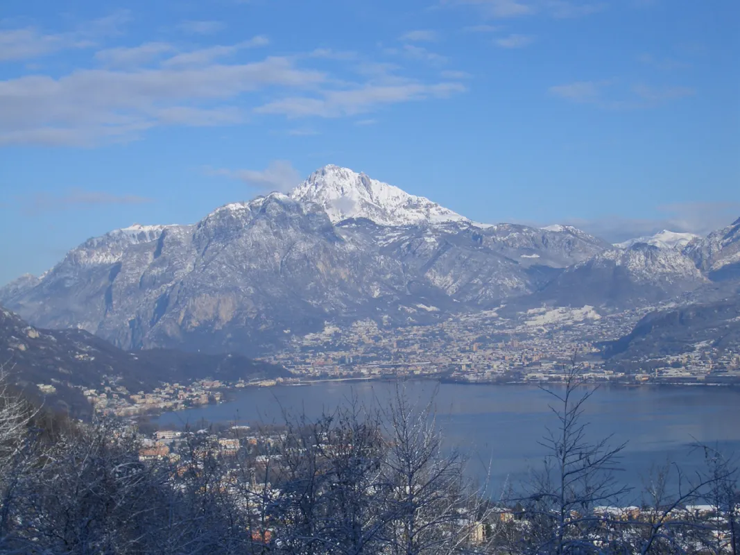
Grignetta Croberto68 · Public domain


Climate of Monte Moregallo
Best months for sightseeingBest months for sightseeing: July–August.
This month · November
A cold month
Day 6° · Night -2° · Rain 85 mm
- Hottest month
- July (day 21°)
- Coldest month
- January (night -6°)
- Wettest month
- September (130 mm)
- Driest month
- February (46 mm)
Bars: average monthly low and high temperature. Below: precipitation. Monthly averages for 1970–2000 at about 18 km resolution, adjusted for elevation. Highlighted months are mild and relatively dry. Source: WorldClim 2.1 (CC BY 4.0).
Show values as a table
| Month | Jan | Feb | Mar | Apr | May | Jun | Jul | Aug | Sep | Oct | Nov | Dec |
|---|---|---|---|---|---|---|---|---|---|---|---|---|
| Average high (°C) | 3° | 4° | 7° | 10° | 14° | 18° | 21° | 20° | 16° | 11° | 6° | 3° |
| Average low (°C) | -6° | -6° | -3° | 0° | 5° | 8° | 11° | 11° | 7° | 3° | -2° | -5° |
| Precipitation (mm) | 64 | 46 | 70 | 100 | 129 | 122 | 105 | 118 | 130 | 125 | 85 | 57 |
How to get to Monte Moregallo
The nearest airport is Il Caravaggio International Airport (BGY), 36 km to the southeast as the crow flies. The nearest large city is Zurich, 177 km to the north.
Airports
- Il Caravaggio International Airport (BGY) Orio al Serio (BG) 36 kmsoutheast
- Lugano Airport (LUG) Agno 37 kmnorthwest
- Milano Linate Airport (LIN) Segrate (MI) 47 kmsouth
Nearby large cities
- Zurich Population: 415.4K 177 kmnorth
- Winterthur Population: 111.8K 188 kmnorth
- Bern Population: 121.6K 189 kmnorthwest
- Lausanne Population: 139.1K 221 kmwest
- Innsbruck Population: 132.5K 221 kmnortheast
Straight-line distances; road distances are longer. Airport data: OurAirports.
Day trips from Monte Moregallo
Within 100 km: 95 historic and cultural sites, 2,706 natural sites, 383 lakes, rivers and coasts.
0–25 km39 places
- Monte Grona Mountain 24 kmNW
- Monte Nuvolone Mountain 12 kmNW
- Pizzo della Croce Mountain 23 kmW
- Poncione di Cabbio Mountain 22 kmW
25–60 km590 places
- Isole di Brissago Island 55 kmNW
- Sant' Apollinare Island 55 kmNW
- San Pancrazio Island 55 kmNW
- Laghetto di Muzzano Lake 35 kmNW
60–100 km2,555 places
- Lago Nero Lake 90 kmNW
- Chaviolas Island 69 kmNE
- Lajets Lake 72 kmN
- Lago Tremorgio Lake 83 kmNW
Straight-line distances.
Nearest towns and villages
Nearby attractions & nature
Everything nearby-
 Monte Rai Mountain, Civate3 km SW
-
Cornizzolo Mountain, Valbrona4.4 km SW
-
 Monte Megna Mountain, Asso4.9 km W
-
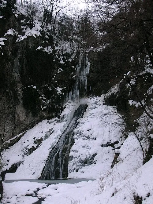 Valassina Natural site, Lombardy6 km W
-
Monte Oriolo Mountain, Barni6 km NW
-
Grignetta Mountain, Mandello del Lario7.3 km NE
-
Monte Colla Mountain, Barni6.1 km NW
-
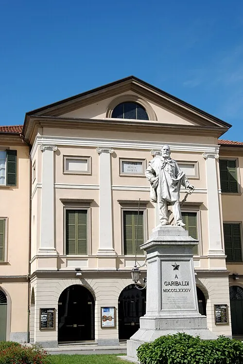 Teatro della Società Attraction, Lecco4.1 km E
Sources & licences
Data last updated: · 2 independent sources