
- Elevation
- 119 m
- above sea level
- Local time
- UTC+01:00
- Europe/Rome · UTC+01:00
- Airports
- LIN Milano Linate Airport5 km
- MXP Milan Malpensa International Airport43 km
About Città Studi
Città Studi is a neighbourhood. Location: Municipio 3, Milan.
Città Studi (literally, "studies city") is a district ("quartiere") of Milan, Italy, located within the Zone 3 administrative division. Its name comes from the fact that the Politecnico technical university, as well as most technical and scientific branches of the University of Milan, are based in this area. The area also houses several prominent hospitals of Milan, including the IRCCS National Cancer Foundation and the Carlo Besta Neurological Institute.
Source: Wikipedia · CC BY-SA 4.0
Photos of Città Studi
-

InkySka · CC BY-SA 4.0 -
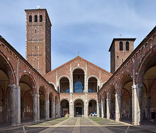
Basilica of Sant'Ambrogio Ludvig14 · CC BY-SA 4.0 -
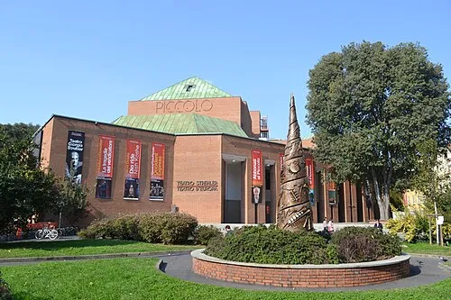
Piccolo Teatro Strehler Daniel from Glasgow, United Kingdom · CC BY 2.0 -
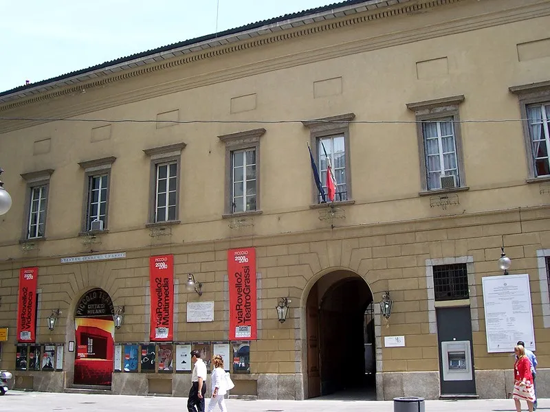
Piccolo Teatro Grassi Geobia · CC0 -
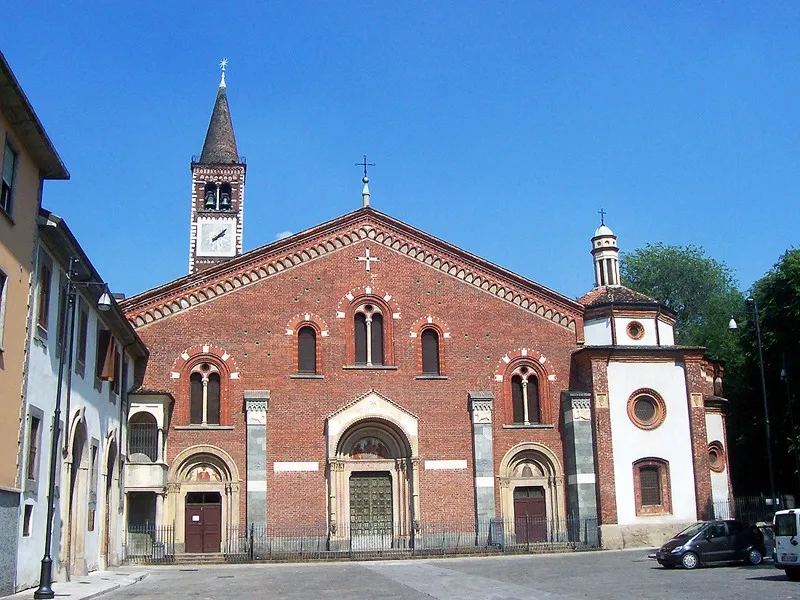
Basilica of Sant'Eustorgio Geobia · CC BY-SA 3.0


Climate of Città Studi
Best months for sightseeingBest months for sightseeing: May–June, September.
This month · November
A cold month
Day 10° · Night 3° · Rain 78 mm
- Hottest month
- July (day 29°)
- Coldest month
- January (night -2°)
- Wettest month
- October (114 mm)
- Driest month
- February (51 mm)
Bars: average monthly low and high temperature. Below: precipitation. Monthly averages for 1970–2000 at about 18 km resolution, adjusted for elevation. Highlighted months are mild and relatively dry. Source: WorldClim 2.1 (CC BY 4.0).
Show values as a table
| Month | Jan | Feb | Mar | Apr | May | Jun | Jul | Aug | Sep | Oct | Nov | Dec |
|---|---|---|---|---|---|---|---|---|---|---|---|---|
| Average high (°C) | 5° | 8° | 14° | 17° | 22° | 26° | 29° | 28° | 24° | 17° | 10° | 6° |
| Average low (°C) | -2° | 0° | 4° | 7° | 12° | 15° | 18° | 18° | 14° | 9° | 3° | 0° |
| Precipitation (mm) | 69 | 51 | 64 | 79 | 99 | 75 | 62 | 85 | 88 | 114 | 78 | 60 |
How to get to Città Studi
The nearest airport is Milano Linate Airport (LIN), 5 km to the southeast as the crow flies. The nearest large city is Bern, 214 km to the northwest.
Airports
- Milano Linate Airport (LIN) Segrate (MI) 5 kmsoutheast
- Milan Malpensa International Airport (MXP) Ferno (VA) 43 kmnorthwest
- Il Caravaggio International Airport (BGY) Orio al Serio (BG) 43 kmnortheast
Nearby large cities
- Bern Population: 121.6K 214 kmnorthwest
- Zurich Population: 415.4K 217 kmnorth
- Winterthur Population: 111.8K 229 kmnorth
- Lausanne Population: 139.1K 232 kmnorthwest
- Nice Population: 342.7K 251 kmsouthwest
Straight-line distances; road distances are longer. Airport data: OurAirports.
Day trips from Città Studi
Within 100 km: 78 historic and cultural sites, 803 natural sites, 48 lakes, rivers and coasts.
0–25 km16 places
- Piccolo Teatro Grassi Attraction 4 kmW
- Basilica of Sant'Ambrogio Attraction 4 kmW
- Piccolo Teatro Strehler Attraction 4 kmW
- Basilica of Sant'Eustorgio Attraction 4 kmSW
25–60 km83 places
- San Salvatore Mountain 60 kmN
- Monte Generoso Mountain 53 kmN
- Monte Nuvolone Mountain 53 kmN
- Pizzo della Croce Mountain 53 kmN
60–100 km830 places
- Rotteri Mountain 100 kmS
- Isole di Brissago Island 82 kmNW
- Sant' Apollinare Island 83 kmNW
- San Pancrazio Island 82 kmNW
Straight-line distances.
Nearby attractions & nature
Everything nearby-
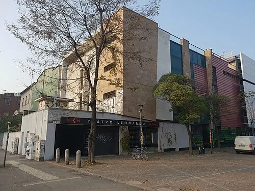 Teatro Leonardo da Vinci Attraction, Municipio 30.4 km N
-
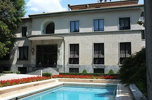 Villa Necchi Campiglio Museum, Municipio 12.3 km SW
-
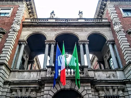 Bagatti Valsecchi Museum Museum, Municipio 12.7 km W
-
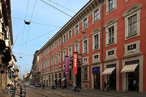 Museo Poldi Pezzoli Museum, Municipio 13 km W
-
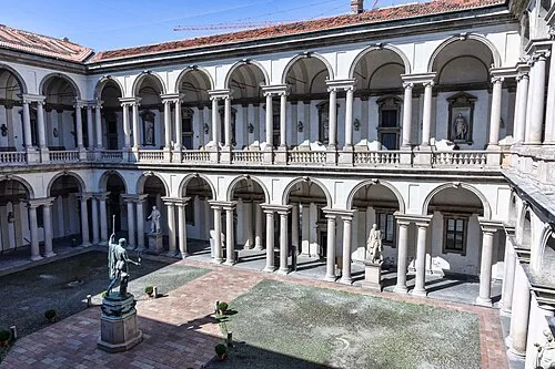 Pinacoteca di Brera Museum, Municipio 13.2 km W
-
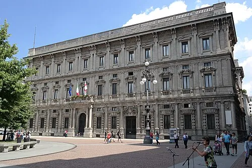 Palazzo Marino Historic site, Municipio 13.1 km W
Sources & licences
Data last updated: · 2 independent sources