- Population
- 9
- 9
- Elevation
- 1,206 m
- above sea level
- Local time
- UTC+01:00
- Europe/Rome · UTC+01:00
- Airports
- CUF Cuneo International Airport29 km
- TRN Turin Airport73 km
About Lantermini
Lantermini is a village. Location: Sampeyre, Province of Cuneo. Population: 9. Elevation: 1,206 m. The best months to visit are July–August. The nearest airport is Cuneo International Airport (29 km). Nearby sights include Cima Bracco and Cima delle Lobbie.
Climate of Lantermini
Best months for sightseeingBest months for sightseeing: July–August.
This month · November
A cold month
Day 8° · Night 1° · Rain 91 mm
- Hottest month
- July (day 22°)
- Coldest month
- January (night -2°)
- Wettest month
- October (116 mm)
- Driest month
- July (51 mm)
Bars: average monthly low and high temperature. Below: precipitation. Monthly averages for 1970–2000 at about 18 km resolution, adjusted for elevation. Highlighted months are mild and relatively dry. Source: WorldClim 2.1 (CC BY 4.0).
Show values as a table
| Month | Jan | Feb | Mar | Apr | May | Jun | Jul | Aug | Sep | Oct | Nov | Dec |
|---|---|---|---|---|---|---|---|---|---|---|---|---|
| Average high (°C) | 5° | 5° | 8° | 11° | 15° | 19° | 22° | 22° | 18° | 13° | 8° | 5° |
| Average low (°C) | -2° | -2° | 0° | 2° | 7° | 10° | 13° | 13° | 10° | 6° | 1° | -1° |
| Precipitation (mm) | 78 | 70 | 74 | 98 | 103 | 79 | 51 | 70 | 86 | 116 | 91 | 79 |
How to get to Lantermini
The nearest airport is Cuneo International Airport (CUF), 29 km to the east as the crow flies. For international flights: Turin Airport (TRN) (73 km). The nearest large city is Nice, 100 km to the south.
Airports
- Cuneo International Airport (CUF) Levaldigi (CN) 29 kmeast
- Turin Airport (TRN) Caselle Torinese (TO) 73 kmnortheast
- Nice-Côte d'Azur Airport (NCE) Nice, Alpes-Maritimes 105 kmsouth
Nearby large cities
- Nice Population: 342.7K 100 kmsouth
- Grenoble Population: 158.6K 138 kmnorthwest
- Aix-en-Provence Population: 146.8K 189 kmsouthwest
- Toulon Population: 168.7K 197 kmsouthwest
- Geneva Population: 201.7K 198 kmnorthwest
Straight-line distances; road distances are longer. Airport data: OurAirports.
Day trips from Lantermini
Within 100 km: 76 historic and cultural sites, 1,131 natural sites, 187 lakes, rivers and coasts.
0–25 km26 places
- Lac d'Asti Lake 23 kmNW
- Punta Gastaldi Mountain 17 kmNW
- Pic Traverse Mountain 22 kmNW
- Monte Salza Mountain 24 kmW
25–60 km395 places
- Lac Premier Lake 36 kmW
- Lac Vert Lake 39 kmW
- Lakes of Vens Lake 42 kmSW
- Lacs de Ténibres Lake 43 kmSW
60–100 km973 places
- Clapes River 79 kmW
- Plage de Buse Beach 95 kmS
- Plage Petite Afrique Beach 100 kmS
- Lac des Vaches Lake 96 kmNW
Straight-line distances.
Nearby attractions & nature
Everything nearby-
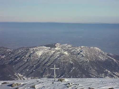 Cima Bracco Mountain, Envie10 km NE
-
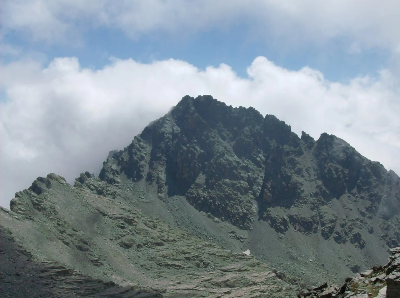 Cima delle Lobbie Mountain, Oncino12 km W
-
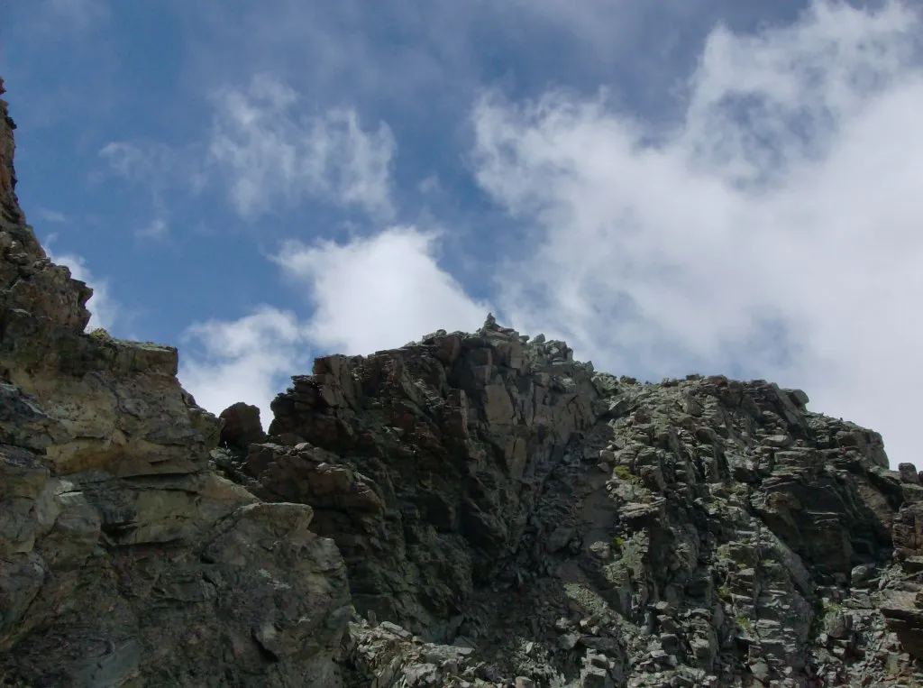 Punta Malta Mountain, Pontechianale13 km W
-
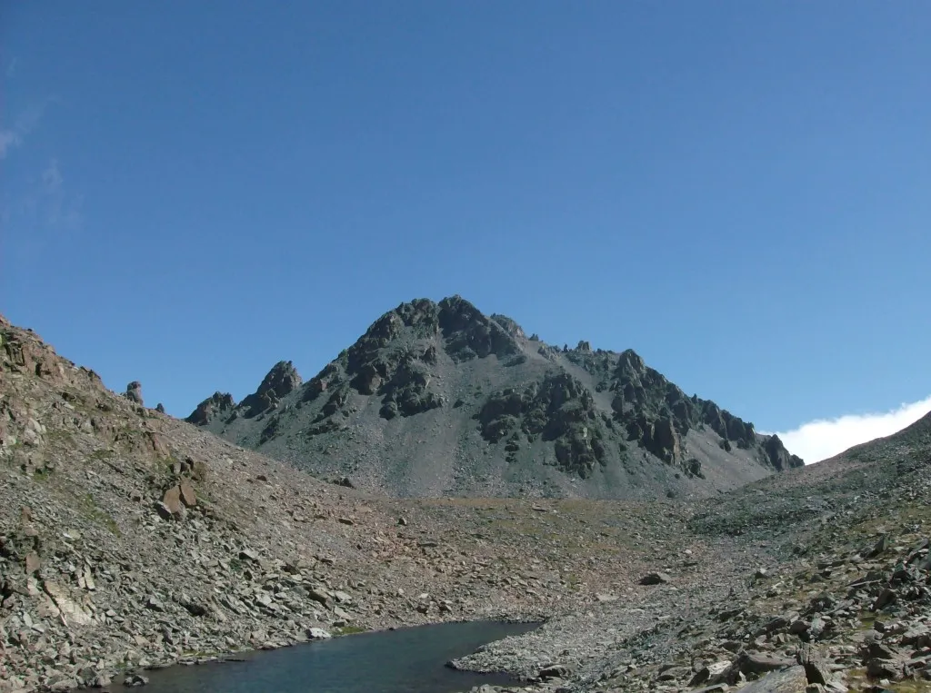 Punta Trento Mountain, Oncino13 km W
-
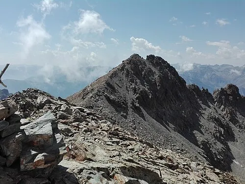 Punta Dante Mountain, Pontechianale14 km W
-
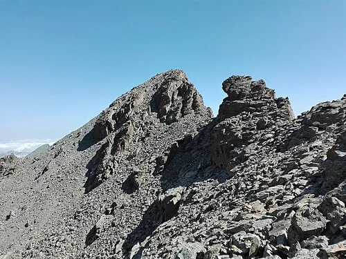 Punta Michelis Mountain, Pontechianale14 km W
Other cities and towns in Sampeyre
-
 Becetto Village, Sampeyre5.5 km W
-
Serre Superiore Village, Sampeyre4.7 km W
-
Graziani-Civalleri Village, Sampeyre5.7 km W
-
Dragoniere Village, Sampeyre4.4 km W
-
Para Village, Sampeyre4.6 km SW
-
Calchesio Village, Sampeyre8.4 km W
Sources & licences
Data last updated: · 2 independent sources