Ala di Stura
Located in Province of Turin, Piedmont Coordinates: 45°18′55″ N 7°18′21″ E
- Population
- 453
- 453
- Elevation
- 1,063 m
- above sea level
- Local time
- UTC+01:00
- Europe/Rome · UTC+01:00
- Places inside
- 5
- listed under Ala di Stura
- Airports
- TRN Turin Airport30 km
- CUF Cuneo International Airport89 km
About Ala di Stura
Ala di Stura is a municipality. Location: Province of Turin, Piedmont. Population: 453. Elevation: 1,063 m. The best months to visit are July–August. The nearest airport is Turin Airport (30 km). Nearby sights include Croix Rousse and Cime Monfret.
Climate of Ala di Stura
Best months for sightseeingBest months for sightseeing: July–August.
This month · November
A wet month
Day 9° · Night 3° · Rain 117 mm
- Hottest month
- August (day 22°)
- Coldest month
- February (night -1°)
- Wettest month
- October (122 mm)
- Driest month
- July (72 mm)
Bars: average monthly low and high temperature. Below: precipitation. Monthly averages for 1970–2000 at about 18 km resolution, adjusted for elevation. Highlighted months are mild and relatively dry. Source: WorldClim 2.1 (CC BY 4.0).
Show values as a table
| Month | Jan | Feb | Mar | Apr | May | Jun | Jul | Aug | Sep | Oct | Nov | Dec |
|---|---|---|---|---|---|---|---|---|---|---|---|---|
| Average high (°C) | 6° | 6° | 8° | 10° | 15° | 19° | 22° | 22° | 19° | 14° | 9° | 7° |
| Average low (°C) | -1° | -1° | 1° | 3° | 7° | 11° | 14° | 14° | 11° | 7° | 3° | 0° |
| Precipitation (mm) | 103 | 100 | 101 | 117 | 121 | 95 | 72 | 87 | 91 | 122 | 117 | 106 |
How to get to Ala di Stura
The nearest airport is Turin Airport (TRN), 30 km to the southeast as the crow flies. The nearest large city is Grenoble, 126 km to the west.
Airports
- Turin Airport (TRN) Caselle Torinese (TO) 30 kmsoutheast
- Cuneo International Airport (CUF) Levaldigi (CN) 89 kmsouth
- Annecy Meythet airport (NCY) Annecy 116 kmnorthwest
Nearby large cities
- Grenoble Population: 158.6K 126 kmwest
- Geneva Population: 201.7K 134 kmnorthwest
- Lausanne Population: 139.1K 143 kmnorth
- Nice Population: 342.7K 179 kmsouth
- Bern Population: 121.6K 182 kmnorth
Straight-line distances; road distances are longer. Airport data: OurAirports.
Day trips from Ala di Stura
Within 100 km: 58 historic and cultural sites, 2,218 natural sites, 241 lakes, rivers and coasts.
0–25 km43 places
- Aiguille Pers Mountain 22 kmNW
- Ouille d'Arbéron Mountain 15 kmW
- Cima d'Oin Mountain 19 kmNW
- Roche Michel Mountain 24 kmW
25–60 km349 places
- Lac des Vaches Lake 42 kmW
- Lac Rond Lake 40 kmW
- Lac de la Plagne Lake 40 kmNW
- Lac du Mont Cenis Lake 31 kmW
60–100 km2,125 places
- Stausee Mattmark Lake 95 kmNE
- Lac de Fully Lake 97 kmN
- Lac d'Émosson Lake 91 kmN
- Lac Sup. de Fully Lake 97 kmN
Straight-line distances.
Places in Ala di Stura
5 placesBar: population relative to the most populous place in this list.
Nearby attractions & nature
Everything nearby-
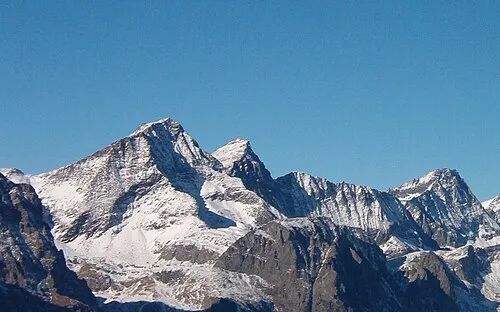 Croix Rousse Mountain, Usseglio15 km SW
-
Cime Monfret Mountain, Groscavallo12 km NW
-
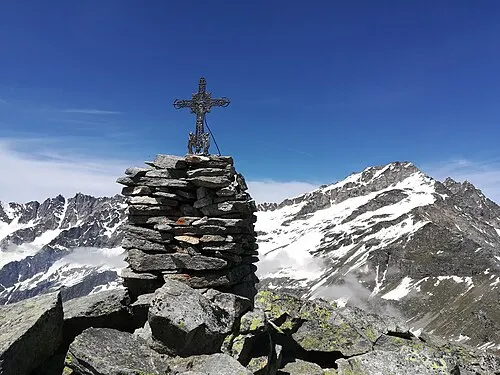 Levanna Orientale Mountain, Bonneval-sur-Arc14 km NW
-
Punta Girard Mountain, France13 km NW
-
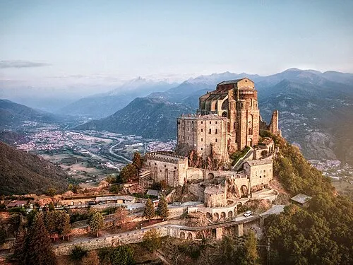 Sacra di San Michele Attraction, Sant'Ambrogio di Torino24 km S
-
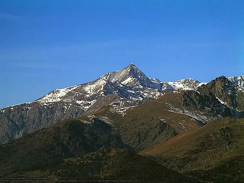 Rocciamelone Mountain, Usseglio22 km SW
-
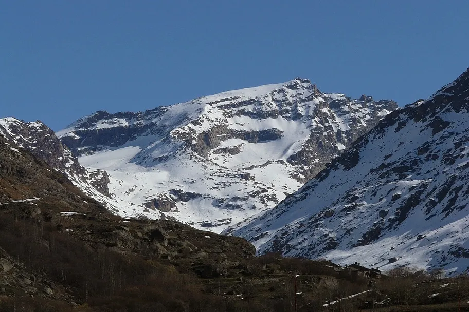 Levanna Occidentale Mountain, Savoy16 km NW
-
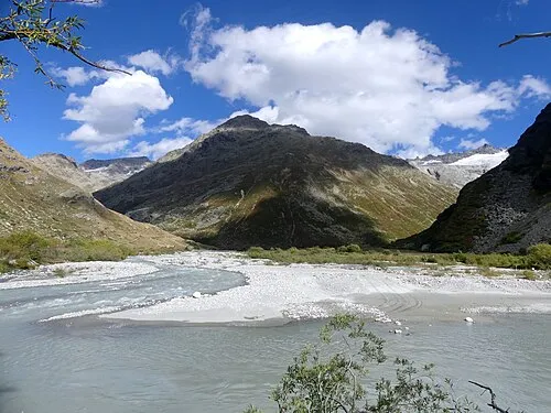 Ouille de Trièves Mountain, Bonneval-sur-Arc16 km NW
Sources & licences
Data last updated: