- Population
- 28,969
- 29K
- Elevation
- 245 m
- above sea level
- Local time
- UTC+01:00
- Europe/Rome · UTC+01:00
- Places inside
- 18
- listed under Carmagnola
- Airports
- CUF Cuneo International Airport34 km
- TRN Turin Airport40 km
About Carmagnola
Carmagnola is a municipality. Location: Province of Turin, Piedmont. Population: 28,969. Elevation: 245 m. The best months to visit are May–June, September. The nearest airport is Cuneo International Airport (34 km). Nearby sights include Museo Egizio and Palazzo Carignano.
Climate of Carmagnola
Best months for sightseeingBest months for sightseeing: May–June, September.
This month · November
A cold month
Day 11° · Night 3° · Rain 54 mm
- Hottest month
- July (day 28°)
- Coldest month
- January (night -1°)
- Wettest month
- May (105 mm)
- Driest month
- December (36 mm)
Bars: average monthly low and high temperature. Below: precipitation. Monthly averages for 1970–2000 at about 18 km resolution, adjusted for elevation. Highlighted months are mild and relatively dry. Source: WorldClim 2.1 (CC BY 4.0).
Show values as a table
| Month | Jan | Feb | Mar | Apr | May | Jun | Jul | Aug | Sep | Oct | Nov | Dec |
|---|---|---|---|---|---|---|---|---|---|---|---|---|
| Average high (°C) | 6° | 9° | 14° | 17° | 21° | 25° | 28° | 27° | 23° | 18° | 11° | 7° |
| Average low (°C) | -1° | 1° | 4° | 7° | 12° | 15° | 18° | 18° | 14° | 9° | 3° | 0° |
| Precipitation (mm) | 38 | 40 | 53 | 82 | 105 | 73 | 42 | 67 | 63 | 82 | 54 | 36 |
How to get to Carmagnola
The nearest airport is Cuneo International Airport (CUF), 34 km to the south as the crow flies. For international flights: Turin Airport (TRN) (40 km). The nearest large city is Nice, 132 km to the south.
Airports
- Cuneo International Airport (CUF) Levaldigi (CN) 34 kmsouth
- Turin Airport (TRN) Caselle Torinese (TO) 40 kmnorth
- Genoa Cristoforo Colombo Airport (GOA) Genova (GE) 101 kmsoutheast
Nearby large cities
- Nice Population: 342.7K 132 kmsouth
- Grenoble Population: 158.6K 162 kmwest
- Geneva Population: 201.7K 194 kmnorthwest
- Lausanne Population: 139.1K 204 kmnorthwest
- Aix-en-Provence Population: 146.8K 233 kmsouthwest
Straight-line distances; road distances are longer. Airport data: OurAirports.
Day trips from Carmagnola
Within 100 km: 40 historic and cultural sites, 705 natural sites, 108 lakes, rivers and coasts.
0–25 km9 places
- Gran Madre di Dio Attraction 24 kmN
- Monte dei Cappuccini Attraction 24 kmN
- San Filippo Neri Attraction 25 kmN
- Palazzo Carignano Historic site 25 kmN
25–60 km62 places
- Lac Égorgeou Lake 60 kmW
- Lac Bariclé Lake 60 kmW
- Lac d'Asti Lake 59 kmW
- L'Eypiol Mountain 58 kmW
60–100 km782 places
- Punta delle Vecchia Mountain 95 kmN
- Lac Premier Lake 78 kmSW
- Lac Vert Lake 80 kmW
- Lakes of Vens Lake 86 kmSW
Straight-line distances.
Places in Carmagnola
18 places- 1 Carmagnola 23K
- 2 San Michele e Grato 1K
- 3 Tuninetti 587
- 4 Cavalleri-Fumeri 574
- 5 San Giovanni 471
- 6 Motta 255
- 7 Bossola 243
- 8 Vallongo 142
- 9 Casanova 131
- 10 Oselle 131
- 11 Tetti Grandi 127
- 12 Corno 79
- 13 Due Province 59
- 14 Morello 57
- 15 Molinasso 42
- 16 Tetti Vaira 31
- 17 Madama 27
- 18 Pocchettino 20
Bar: population relative to the most populous place in this list.
Nearby attractions & nature
Everything nearby-
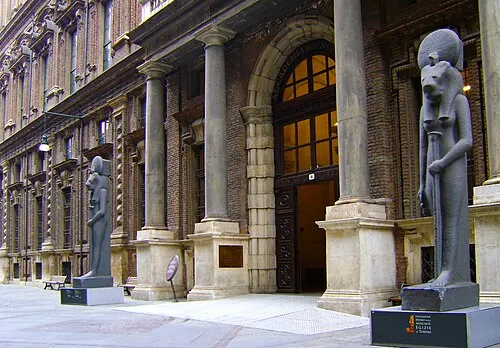 Museo Egizio Museum, Centro - Crocetta25 km N
-
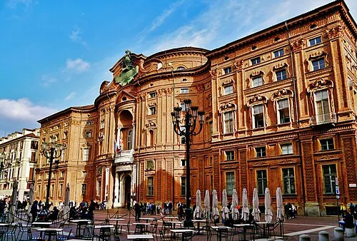 Palazzo Carignano Historic site, Centro - Crocetta25 km N
-
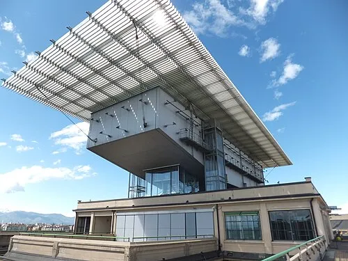 Pinacoteca Giovanni e Marella Agnelli Museum, San Salvario - Cavoretto - Borgo Po - Nizza Millefonti - Lingotto - Filadelfia21 km N
-
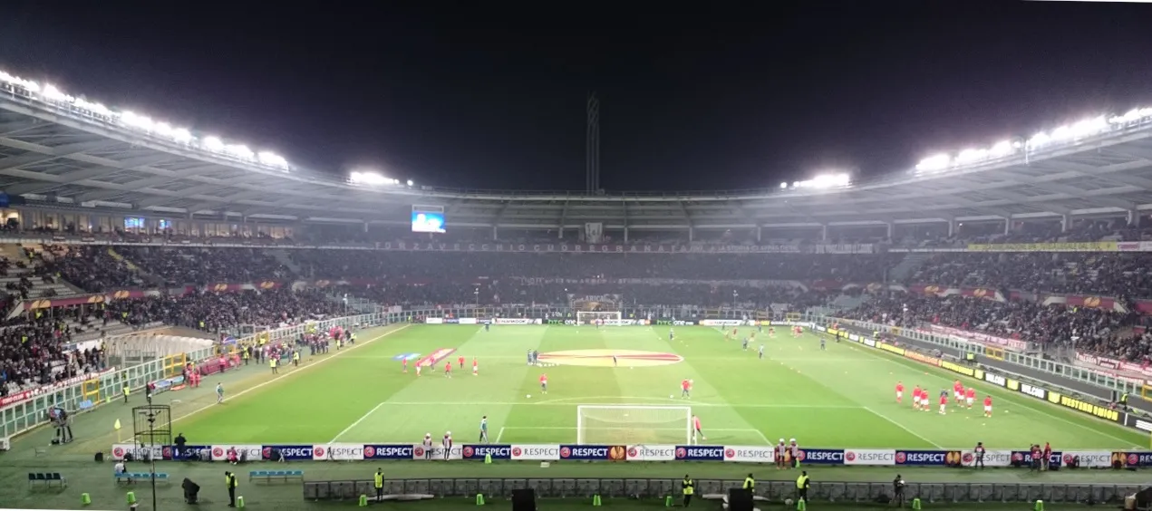 Stadio Olimpico Grande Torino Landmark, Santa Rita - Mirafiori22 km N
-
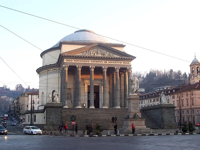 Gran Madre di Dio Attraction, San Salvario - Cavoretto - Borgo Po - Nizza Millefonti - Lingotto - Filadelfia24 km N
-
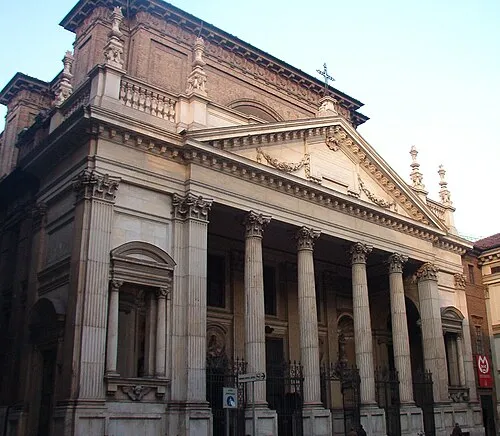 San Filippo Neri Attraction, Centro - Crocetta25 km N
-
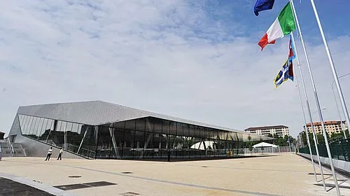 Palazzo del Nuoto Landmark, Santa Rita - Mirafiori22 km N
-
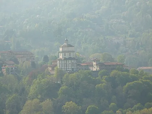 Monte dei Cappuccini Attraction, San Salvario - Cavoretto - Borgo Po - Nizza Millefonti - Lingotto - Filadelfia24 km N
Sources & licences
Data last updated: