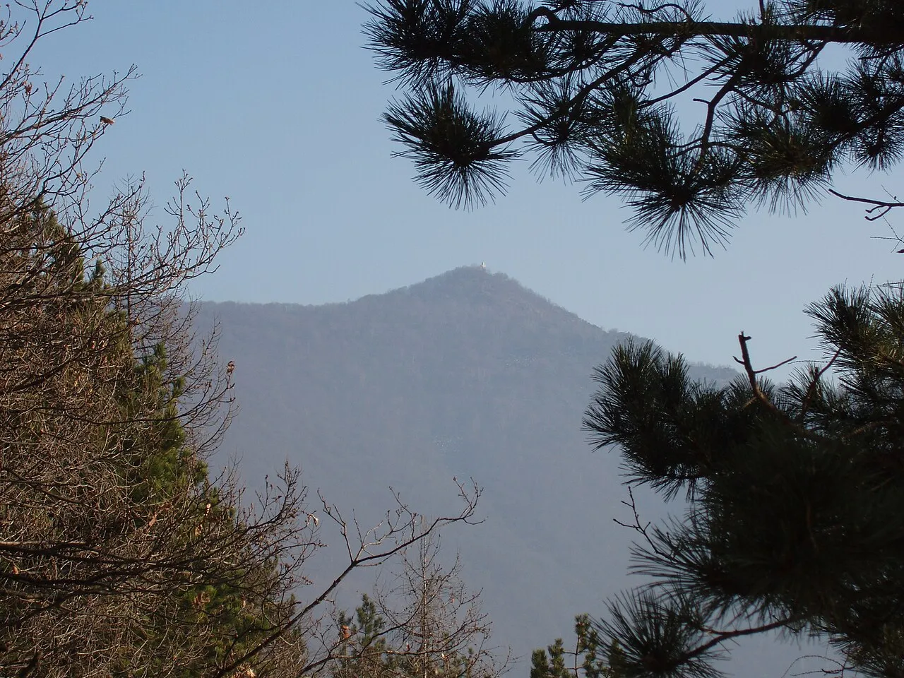
- Elevation
- 1,150 m
- above sea level
- Local time
- UTC+01:00
- Europe/Rome · UTC+01:00
- Airports
- TRN Turin Airport18 km
- CUF Cuneo International Airport64 km
About Monte Musinè
Monte Musinè is a mountain. Location: Caselette, Province of Turin. Elevation: 1,150 m.
Monte Musinè or simply Musinè (in Piedmontese mont Musinè) is a mountain in the Graian Alps in the Metropolitan City of Turin, Piedmont, north Italy. Musinè is well known for the high cross on its peak, as well as for being the mountain closest to Turin. It is visible from the Piedmontese plateau and from the mountains in the provinces of Biella and Vercelli.
Source: Wikipedia · CC BY-SA 4.0
At a glance
- Topographic prominence
- 202 m
Source: Wikidata
Photos of Monte Musinè
-

Andrea Marchisio · CC BY-SA 3.0 -

Pmk58 · CC BY-SA 4.0 -

F Ceragioli · CC BY-SA 4.0 -

GJo · Public domain -

Andrea Francesco Facelli · CC BY 3.0


Climate of Monte Musinè
Best months for sightseeingBest months for sightseeing: July–August.
This month · November
A cold month
Day 6° · Night -2° · Rain 58 mm
- Hottest month
- July (day 22°)
- Coldest month
- January (night -6°)
- Wettest month
- May (111 mm)
- Driest month
- December (45 mm)
Bars: average monthly low and high temperature. Below: precipitation. Monthly averages for 1970–2000 at about 18 km resolution, adjusted for elevation. Highlighted months are mild and relatively dry. Source: WorldClim 2.1 (CC BY 4.0).
Show values as a table
| Month | Jan | Feb | Mar | Apr | May | Jun | Jul | Aug | Sep | Oct | Nov | Dec |
|---|---|---|---|---|---|---|---|---|---|---|---|---|
| Average high (°C) | 3° | 4° | 8° | 11° | 15° | 19° | 22° | 22° | 17° | 12° | 6° | 3° |
| Average low (°C) | -6° | -5° | -2° | 1° | 5° | 9° | 12° | 12° | 8° | 4° | -2° | -5° |
| Precipitation (mm) | 46 | 46 | 54 | 87 | 111 | 86 | 54 | 75 | 75 | 88 | 58 | 45 |
How to get to Monte Musinè
The nearest airport is Turin Airport (TRN), 18 km to the northeast as the crow flies. The nearest large city is Grenoble, 137 km to the west.
Airports
- Turin Airport (TRN) Caselle Torinese (TO) 18 kmnortheast
- Cuneo International Airport (CUF) Levaldigi (CN) 64 kmsouth
- Milan Malpensa International Airport (MXP) Ferno (VA) 115 kmnortheast
Nearby large cities
- Grenoble Population: 158.6K 137 kmwest
- Nice Population: 342.7K 157 kmsouth
- Geneva Population: 201.7K 158 kmnorthwest
- Lausanne Population: 139.1K 168 kmnorth
- Bern Population: 121.6K 204 kmnorth
Straight-line distances; road distances are longer. Airport data: OurAirports.
Day trips from Monte Musinè
Within 100 km: 46 historic and cultural sites, 1,275 natural sites, 164 lakes, rivers and coasts.
0–25 km24 places
- Monte Pietraborga Mountain 11 kmS
- Monte San Giorgio Mountain 13 kmS
- Monte Robinet Mountain 24 kmW
- Rocciavrè Mountain 24 kmW
25–60 km211 places
- Lac Rond Lake 60 kmNW
- Lac du Mont Cenis Lake 43 kmW
- Grand Lac du Laus Lake 57 kmSW
- Lac Foréant Lake 59 kmSW
60–100 km1,250 places
- Lac de Tsofeiret Lake 94 kmN
- Grand Lé Lake 90 kmN
- Theodulgletschersee Lake 97 kmN
- Petit Lé Lake 89 kmN
Straight-line distances.
Nearest towns and villages
-
Milanere Village, Almese2 km SW
-
Grangiotto Village, Caselette1.7 km S
-
Caselette Village, Caselette2.5 km E
-
Drubiaglio-Grangia Village, Avigliana3.4 km SW
-
Ferriera Village, Buttigliera Alta3.9 km SW
-
Betulle Village, Val della Torre2.2 km NE
Nearby attractions & nature
Everything nearby-
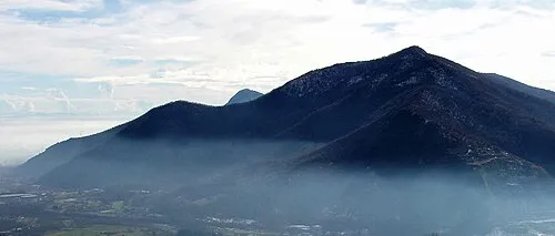 Monte Pietraborga Mountain, Trana11 km S
-
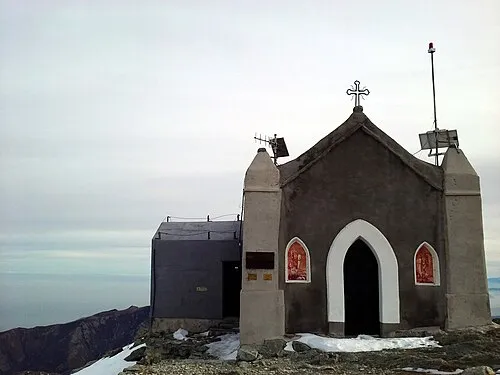 Monte Robinet Mountain, Coazze24 km W
-
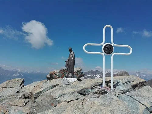 Rocciavrè Mountain, Roure24 km W
-
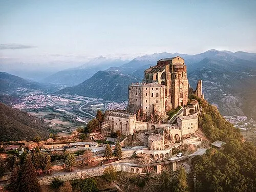 Sacra di San Michele Attraction, Sant'Ambrogio di Torino8.9 km W
-
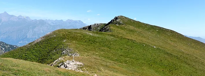 Monte Muretto Mountain, Coazze22 km W
-
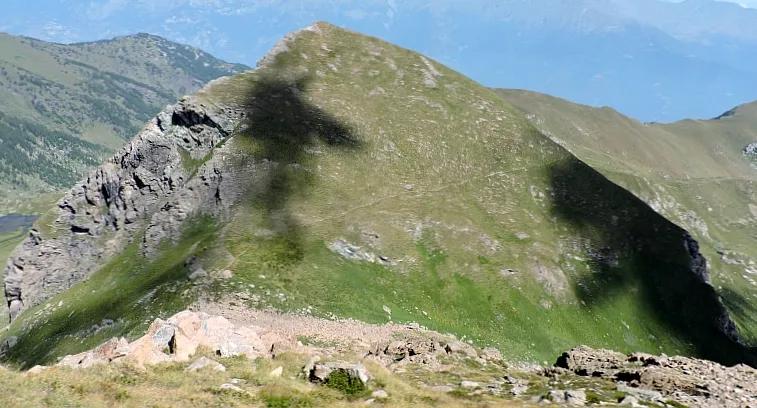 Punta Costabruna Mountain, Coazze22 km W
-
Monte San Giorgio Mountain, Piossasco13 km S
-
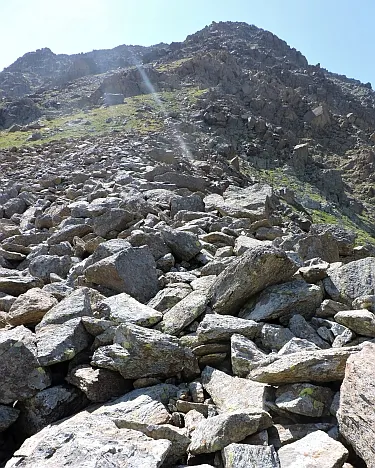 Monte Pian Real Mountain, Coazze23 km W
Sources & licences
Data last updated: · 2 independent sources