- Population
- 2
- 2
- Elevation
- 1,505 m
- above sea level
- Local time
- UTC+01:00
- Europe/Rome · UTC+01:00
- Airports
- MXP Milan Malpensa International Airport52 km
- TRN Turin Airport70 km
About Mera
Mera is a village. Location: Scopello, Province of Vercelli. Population: 2. Elevation: 1,505 m. The best months to visit are July–August. The nearest airport is Milan Malpensa International Airport (52 km). Nearby sights include Monte Camparient and Monte Ovago.
Photos of Mera
-
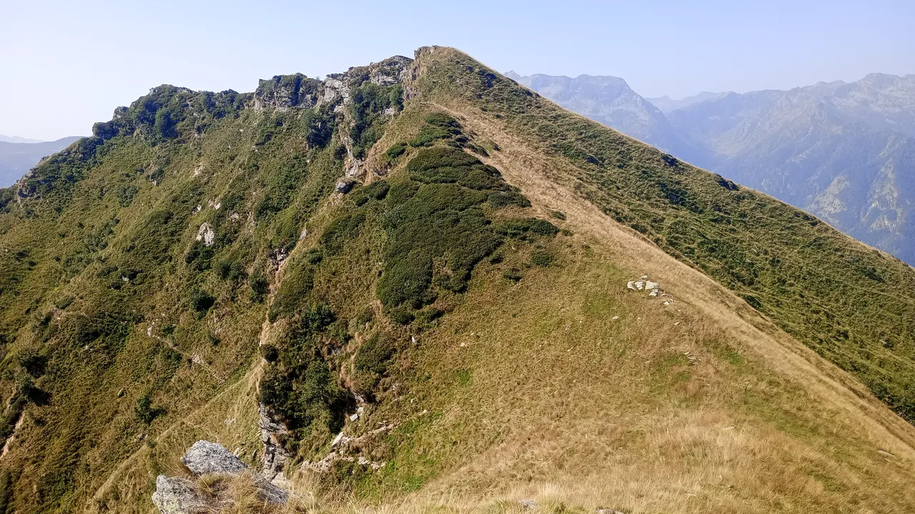
Cima delle Balme Pampuco · CC BY 4.0 -
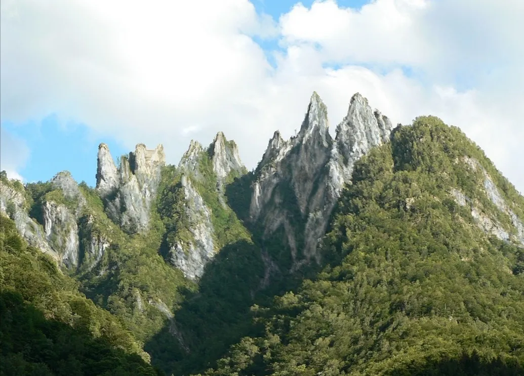
Denti di Gavala Matteo Delfitto · CC BY-SA 4.0 -
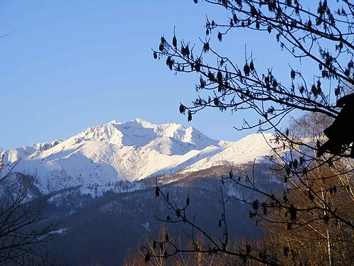
Monte Bo F Ceragioli · CC BY-SA 3.0 -
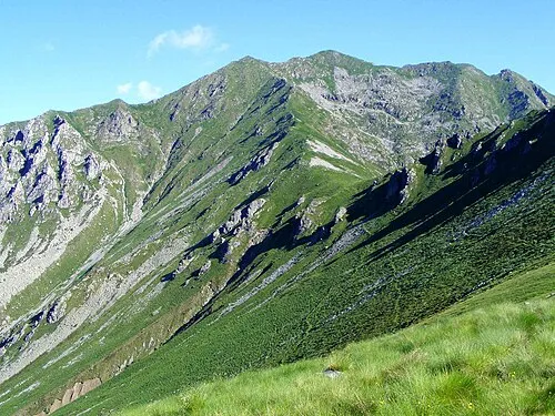
Punta del Cravile F Ceragioli · CC BY-SA 3.0 -
Cima dell'Asnas F Ceragioli · CC BY-SA 3.0


Climate of Mera
Best months for sightseeingBest months for sightseeing: July–August.
This month · November
A cold month
Day 5° · Night -3° · Rain 69 mm
- Hottest month
- July (day 19°)
- Coldest month
- January (night -6°)
- Wettest month
- May (112 mm)
- Driest month
- December (51 mm)
Bars: average monthly low and high temperature. Below: precipitation. Monthly averages for 1970–2000 at about 18 km resolution, adjusted for elevation. Highlighted months are mild and relatively dry. Source: WorldClim 2.1 (CC BY 4.0).
Show values as a table
| Month | Jan | Feb | Mar | Apr | May | Jun | Jul | Aug | Sep | Oct | Nov | Dec |
|---|---|---|---|---|---|---|---|---|---|---|---|---|
| Average high (°C) | 2° | 2° | 5° | 8° | 13° | 16° | 19° | 19° | 15° | 10° | 5° | 2° |
| Average low (°C) | -6° | -6° | -4° | -1° | 3° | 7° | 9° | 9° | 6° | 2° | -3° | -5° |
| Precipitation (mm) | 52 | 53 | 68 | 90 | 112 | 91 | 68 | 86 | 79 | 98 | 69 | 51 |
How to get to Mera
The nearest airport is Milan Malpensa International Airport (MXP), 52 km to the east as the crow flies. The nearest large city is Lausanne, 141 km to the northwest.
Airports
- Milan Malpensa International Airport (MXP) Ferno (VA) 52 kmeast
- Turin Airport (TRN) Caselle Torinese (TO) 70 kmsouthwest
- Lugano Airport (LUG) Agno 70 kmnortheast
Nearby large cities
- Lausanne Population: 139.1K 141 kmnorthwest
- Bern Population: 121.6K 142 kmnorth
- Geneva Population: 201.7K 159 kmwest
- Zurich Population: 415.4K 184 kmnorth
- Grenoble Population: 158.6K 196 kmwest
Straight-line distances; road distances are longer. Airport data: OurAirports.
Day trips from Mera
Within 100 km: 97 historic and cultural sites, 3,746 natural sites, 416 lakes, rivers and coasts.
0–25 km133 places
- Corno Rosso Mountain 16 kmW
- Cresta Rossa Mountain 18 kmW
- Monte Bieteron Mountain 24 kmW
- Punta Berretta del Vescovo Mountain 12 kmW
25–60 km961 places
- Stausee Mattmark Lake 34 kmN
- Innersts Seewji Lake 59 kmN
- Lac de Tsofeiret Lake 60 kmNW
- Gornergratsee Lake 36 kmNW
60–100 km3,165 places
- Lago Nero Lake 86 kmNE
- Isole di Brissago Island 66 kmNE
- Sant' Apollinare Island 66 kmNE
- San Pancrazio Island 66 kmNE
Straight-line distances.
Nearby attractions & nature
Everything nearby-
Monte Camparient Mountain, Scopello0.7 km S
-
Monte Ovago Mountain, Pila2.3 km W
-
Cima della Mora Mountain, Valdilana2.2 km SE
-
Cima di Bors Mountain, Crevacuore2.4 km SE
-
Cima della Bondala Mountain, Valdilana3 km SE
-
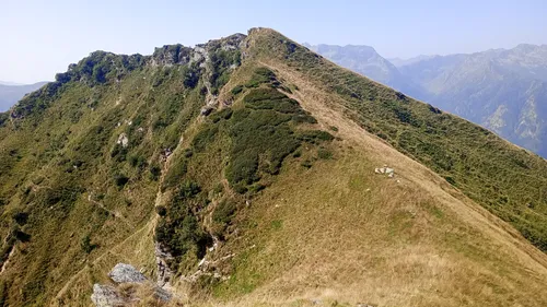 Cima delle Balme Mountain, Scopello5.2 km N
Sources & licences
Data last updated: · 2 independent sources