- Population
- 679
- 679
- Elevation
- 50 m
- above sea level
- Local time
- UTC+01:00
- Europe/Rome · UTC+01:00
- Airports
- CAG Cagliari Elmas Airport5 km
- AHO Alghero-Fertilia Airport163 km
About Cortexandra
Cortexandra is a village. Location: Sestu, Province of Cagliari. Population: 679. Elevation: 50 m. The best months to visit are May, October. The nearest airport is Cagliari Elmas Airport (5 km). Nearby sights include Cuccuru Matta Masonis and Teatro Civico di Castello.
Climate of Cortexandra
Best months for sightseeingBest months for sightseeing: May, October.
This month · November
Outside the best season
Day 18° · Night 9° · Rain 56 mm
- Hottest month
- August (day 31°)
- Coldest month
- January (night 6°)
- Wettest month
- November (56 mm)
- Driest month
- July (4 mm)
Bars: average monthly low and high temperature. Below: precipitation. Monthly averages for 1970–2000 at about 18 km resolution, adjusted for elevation. Highlighted months are mild and relatively dry. Source: WorldClim 2.1 (CC BY 4.0).
Show values as a table
| Month | Jan | Feb | Mar | Apr | May | Jun | Jul | Aug | Sep | Oct | Nov | Dec |
|---|---|---|---|---|---|---|---|---|---|---|---|---|
| Average high (°C) | 14° | 15° | 16° | 19° | 23° | 28° | 31° | 31° | 28° | 23° | 18° | 15° |
| Average low (°C) | 6° | 6° | 7° | 9° | 13° | 16° | 19° | 20° | 17° | 14° | 9° | 7° |
| Precipitation (mm) | 44 | 52 | 44 | 41 | 27 | 13 | 4 | 9 | 35 | 54 | 56 | 49 |
How to get to Cortexandra
The nearest airport is Cagliari Elmas Airport (CAG), 5 km to the south as the crow flies.
Airports
- Cagliari Elmas Airport (CAG) Cagliari 5 kmsouth
- Alghero-Fertilia Airport (AHO) Alghero 163 kmnorthwest
- Olbia Costa Smeralda Airport (OLB) Olbia (SS) 183 kmnorth
Straight-line distances; road distances are longer. Airport data: OurAirports.
Day trips from Cortexandra
Within 100 km: 5 historic and cultural sites, 78 natural sites, 111 lakes, rivers and coasts.
0–25 km27 places
- Poetto Beach 13 kmSE
- Monte Pauliara Mountain 19 kmSW
- Spiaggia di Calamosca Beach 14 kmSE
- Su Concali Mountain 17 kmSW
25–60 km97 places
- Spiaggia di Porto Sa Ruxi Beach 38 kmSE
- Spiaggia del Porto di Villasimius Beach 42 kmSE
- Spiaggia di Porto Giunco Beach 43 kmSE
- Bruncu Campulongu Mountain 42 kmSE
60–100 km70 places
- Spiaggia dello Spalmatore Beach 73 kmW
- Spiaggia di Girin Beach 69 kmW
- Scivu Beach 61 kmW
- Spiaggia della Marina di Tertenia Beach 68 kmNE
Straight-line distances.
Nearby attractions & nature
Everything nearby-
Cuccuru Matta Masonis Mountain, Selargius6.1 km E
-
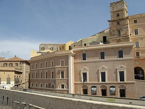 Teatro Civico di Castello Attraction, Cagliari9.1 km SE
-
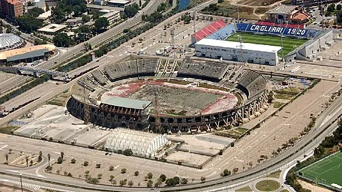 Stadio Sant'Elia Landmark, Cagliari12 km SE
-
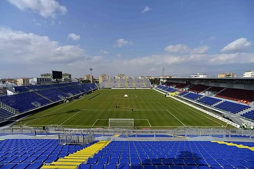 Stadio Is Arenas Landmark, Quartu Sant'Elena12 km SE
-
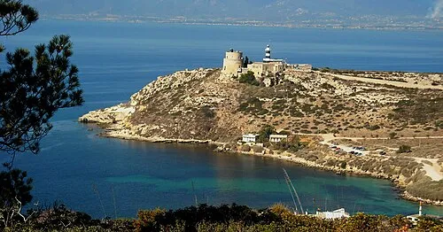 Monte Sant'Elia Mountain, Cagliari14 km SE
-
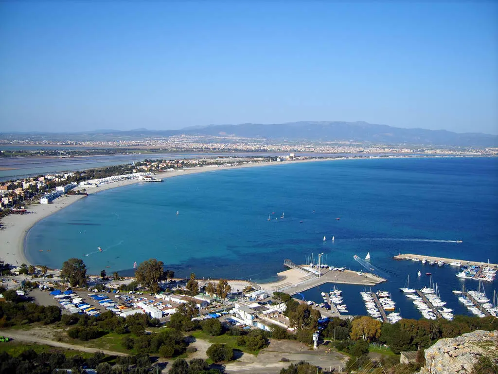 Spiaggia di Quartu Beach, Quartu Sant'Elena13 km SE
Sources & licences
Data last updated: · 2 independent sources