Piana degli Albanesi
Located in Province of Palermo, Sicily Coordinates: 37°59′53″ N 13°16′47″ E
- Population
- 6,070
- 6.1K
- Elevation
- 742 m
- above sea level
- Local time
- UTC+01:00
- Europe/Rome · UTC+01:00
- Places inside
- 1
- listed under Piana degli Albanesi
- Airports
- PMO Falcone–Borsellino Airport26 km
- TPS Vincenzo Florio Airport Trapani-Birgi70 km
About Piana degli Albanesi
Piana degli Albanesi is a municipality. Location: Province of Palermo, Sicily. Population: 6,070. Elevation: 742 m. The best months to visit are June–July, September. The nearest airport is Falcone–Borsellino Airport (26 km). Nearby sights include Cattedrale di Monreale and Punta Mastrangelo.
Climate of Piana degli Albanesi
Best months for sightseeingBest months for sightseeing: June–July, September.
This month · November
Outside the best season
Day 15° · Night 8° · Rain 73 mm
- Hottest month
- August (day 28°)
- Coldest month
- February (night 4°)
- Wettest month
- October (75 mm)
- Driest month
- July (5 mm)
Bars: average monthly low and high temperature. Below: precipitation. Monthly averages for 1970–2000 at about 18 km resolution, adjusted for elevation. Highlighted months are mild and relatively dry. Source: WorldClim 2.1 (CC BY 4.0).
Show values as a table
| Month | Jan | Feb | Mar | Apr | May | Jun | Jul | Aug | Sep | Oct | Nov | Dec |
|---|---|---|---|---|---|---|---|---|---|---|---|---|
| Average high (°C) | 10° | 10° | 12° | 14° | 19° | 24° | 27° | 28° | 24° | 20° | 15° | 11° |
| Average low (°C) | 4° | 4° | 5° | 7° | 11° | 15° | 17° | 18° | 15° | 12° | 8° | 6° |
| Precipitation (mm) | 64 | 55 | 48 | 50 | 25 | 7 | 5 | 14 | 42 | 75 | 73 | 72 |
How to get to Piana degli Albanesi
The nearest airport is Falcone–Borsellino Airport (PMO), 26 km to the northwest as the crow flies.
Airports
- Falcone–Borsellino Airport (PMO) Palermo 26 kmnorthwest
- Vincenzo Florio Airport Trapani-Birgi (TPS) Trapani (TP) 70 kmwest
- Comiso Airport (CIY) Comiso 162 kmsoutheast
Straight-line distances; road distances are longer. Airport data: OurAirports.
Day trips from Piana degli Albanesi
Within 100 km: 17 historic and cultural sites, 19 natural sites, 53 lakes, rivers and coasts.
0–25 km26 places
- Spiaggia di Piano Inferno Marina Beach 21 kmNW
- Spiaggia Roccella Beach 16 kmNE
- Spiaggia di Brancaccio Beach 15 kmNE
- Monte Cuccio Mountain 13 kmN
25–60 km26 places
- Rocca d'Entella Mountain 29 kmSW
- Spiaggia di Piane Vecchie Beach 57 kmE
- Capo di Rama Natural site 25 kmNW
- Playa di Castellammare Beach 34 kmW
60–100 km37 places
- Playa Lido La Spiaggetta Beach 77 kmS
- Spiaggia Marina di Palma Beach 100 kmSE
- Capo Rossello Natural site 80 kmS
- Agrigento Cathedral Attraction 80 kmS
Straight-line distances.
Places in Piana degli Albanesi
1 placeBar: population relative to the most populous place in this list.
Nearby attractions & nature
Everything nearby-
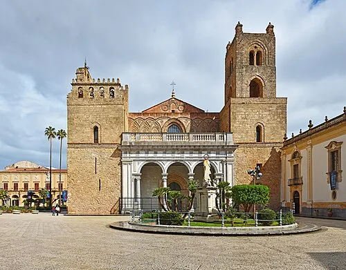 Cattedrale di Monreale Attraction, Monreale9.4 km N
-
Punta Mastrangelo Mountain, Monreale8.3 km NW
-
Monte Gibilmesi Mountain, Giardinello9.4 km NW
-
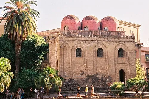 Eglise de San Cataldo Attraction, Circoscrizione I15 km NE
-
Monte Iato Mountain, San Cipirello7.8 km SW
-
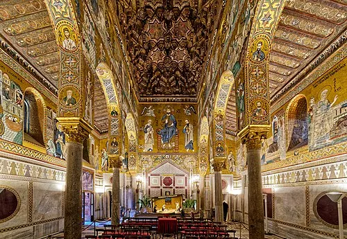 Chapelle palatine Attraction, Circoscrizione I14 km NE
-
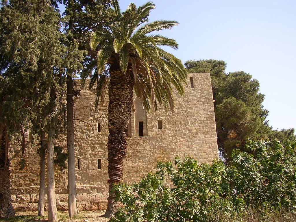 Castello di Maredolce Historic site, Circoscrizione II14 km NE
-
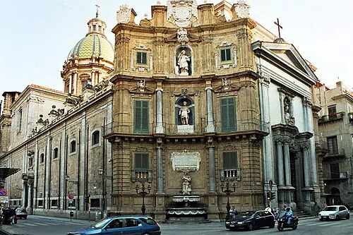 San Giuseppe dei Teatini Attraction, Circoscrizione I15 km NE
Sources & licences
Data last updated: