Egna/Neumarkt
Located in South Tyrol, Trentino-Alto Adige Coordinates: 46°19′01″ N 11°16′21″ E
- Population
- 5,384
- 5.4K
- Elevation
- 222 m
- above sea level
- Local time
- UTC+01:00
- Europe/Rome · UTC+01:00
- Places inside
- 6
- listed under Egna/Neumarkt
- Airports
- BZO Bolzano Airport16 km
- TSF Treviso Airport103 km
About Egna/Neumarkt
Egna/Neumarkt is a municipality. Location: South Tyrol, Trentino-Alto Adige. Population: 5,384. Elevation: 222 m. The best months to visit are May–June, September. The nearest airport is Bolzano Airport (16 km). Nearby sights include La Madrutta and Monte Corno.
Photos of Egna/Neumarkt
-
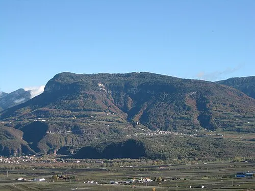
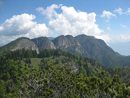
Cima Cucul Plentn · CC0 -
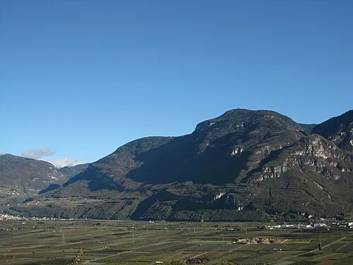
Monte Prato del Re Plentn · CC0 -
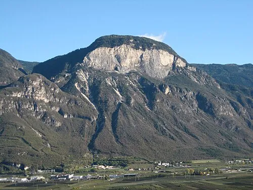
La Madrutta Plentn · CC0 -
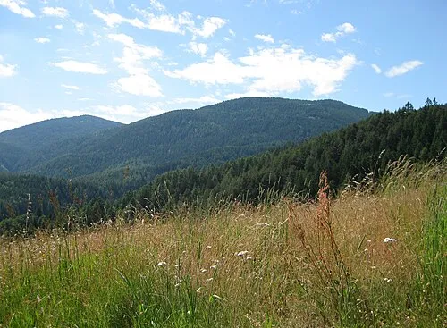
Monte Corno Plentn · Public domain


Climate of Egna/Neumarkt
Best months for sightseeingBest months for sightseeing: May–June, September.
This month · November
A cold month
Day 11° · Night 4° · Rain 47 mm
- Hottest month
- July (day 28°)
- Coldest month
- January (night 1°)
- Wettest month
- June (76 mm)
- Driest month
- February (25 mm)
Bars: average monthly low and high temperature. Below: precipitation. Monthly averages for 1970–2000 at about 18 km resolution, adjusted for elevation. Highlighted months are mild and relatively dry. Source: WorldClim 2.1 (CC BY 4.0).
Show values as a table
| Month | Jan | Feb | Mar | Apr | May | Jun | Jul | Aug | Sep | Oct | Nov | Dec |
|---|---|---|---|---|---|---|---|---|---|---|---|---|
| Average high (°C) | 8° | 10° | 13° | 17° | 22° | 25° | 28° | 27° | 23° | 18° | 11° | 8° |
| Average low (°C) | 1° | 1° | 4° | 8° | 12° | 16° | 18° | 18° | 14° | 10° | 4° | 1° |
| Precipitation (mm) | 29 | 25 | 32 | 46 | 63 | 76 | 74 | 74 | 66 | 74 | 47 | 32 |
How to get to Egna/Neumarkt
The nearest airport is Bolzano Airport (BZO), 16 km to the north as the crow flies. For international flights: Treviso Airport (TSF) (103 km). The nearest large city is Innsbruck, 106 km to the north.
Airports
- Bolzano Airport (BZO) Bolzano (BZ) 16 kmnorth
- Treviso Airport (TSF) Treviso (TV) 103 kmsoutheast
- Innsbruck Airport (INN) Innsbruck 105 kmnorth
Nearby large cities
- Innsbruck Population: 132.5K 106 kmnorth
- Munich Population: 1.5M 204 kmnorth
- Salzburg Population: 157.2K 213 kmnortheast
- Augsburg Population: 301.1K 230 kmnorth
- Winterthur Population: 111.8K 235 kmnorthwest
Straight-line distances; road distances are longer. Airport data: OurAirports.
Day trips from Egna/Neumarkt
Within 100 km: 30 historic and cultural sites, 2,887 natural sites, 115 lakes, rivers and coasts.
0–25 km141 places
- Monte Croce Mountain 19 kmSE
- Dosson Mountain 14 kmSW
- Castel Mountain 21 kmSE
- Dosso di Penedallo Mountain 25 kmS
25–60 km827 places
- Spadalone Mountain 47 kmSW
- Piz Gralba Mountain 46 kmNE
- Piz Miara Mountain 46 kmNE
- Croda Nera Mountain 41 kmE
60–100 km2,064 places
- Dosso Rotondo Mountain 63 kmS
- Lago di Poschiavo Lake 91 kmW
- Lago Bianco Lake 97 kmW
- Lej Minor Lake 96 kmW
Straight-line distances.
Places in Egna/Neumarkt
6 placesBar: population relative to the most populous place in this list.
Mountains & nature1
- Monte Prato del Re · Mountain
Nearby attractions & nature
Everything nearby-
La Madrutta Mountain, Salorno sulla strada del vino/Salurn an der Weinstraße4.7 km S
-
Monte Corno Mountain, Capriana4.9 km SE
-
Cima Cucul Mountain, Trodena nel parco naturale/Truden im Naturpark5.7 km E
-
Denti di Cavallo Mountain, Vadena/Pfatten5.9 km N
-
Monte del Lago Mountain, Caldaro sulla strada del vino/Kaltern an der Weinstraße6.5 km N
-
Schwarzer Kopf Mountain, Sfruz6.8 km NW
-
Col di Sotto Mountain, Caldaro sulla strada del vino/Kaltern an der Weinstraße7.1 km NW
-
 Corno di Tres Mountain, Predaia8.7 km W
Sources & licences
Data last updated: