Gargazzone/Gargazon
Located in South Tyrol, Trentino-Alto Adige Coordinates: 46°35′05″ N 11°12′13″ E
- Population
- 1,726
- 1.7K
- Elevation
- 272 m
- above sea level
- Local time
- UTC+01:00
- Europe/Rome · UTC+01:00
- Places inside
- 2
- listed under Gargazzone/Gargazon
- Airports
- BZO Bolzano Airport17 km
- INN Innsbruck Airport76 km
About Gargazzone/Gargazon
Gargazzone/Gargazon is a municipality. Location: South Tyrol, Trentino-Alto Adige. Population: 1,726. Elevation: 272 m. The best months to visit are May–June, September. The nearest airport is Bolzano Airport (17 km). Nearby sights include Colle del Giovo and Monte Luco Grande.
Climate of Gargazzone/Gargazon
Best months for sightseeingBest months for sightseeing: May–June, September.
This month · November
A cold month
Day 12° · Night 4° · Rain 48 mm
- Hottest month
- July (day 28°)
- Coldest month
- January (night 0°)
- Wettest month
- July (87 mm)
- Driest month
- February (25 mm)
Bars: average monthly low and high temperature. Below: precipitation. Monthly averages for 1970–2000 at about 18 km resolution, adjusted for elevation. Highlighted months are mild and relatively dry. Source: WorldClim 2.1 (CC BY 4.0).
Show values as a table
| Month | Jan | Feb | Mar | Apr | May | Jun | Jul | Aug | Sep | Oct | Nov | Dec |
|---|---|---|---|---|---|---|---|---|---|---|---|---|
| Average high (°C) | 8° | 10° | 13° | 17° | 22° | 25° | 28° | 27° | 23° | 18° | 12° | 8° |
| Average low (°C) | 0° | 1° | 4° | 6° | 11° | 15° | 17° | 17° | 14° | 9° | 4° | 1° |
| Precipitation (mm) | 29 | 25 | 34 | 47 | 67 | 85 | 87 | 83 | 68 | 71 | 48 | 32 |
How to get to Gargazzone/Gargazon
The nearest airport is Bolzano Airport (BZO), 17 km to the southeast as the crow flies. For international flights: Innsbruck Airport (INN) (76 km). The nearest large city is Innsbruck, 77 km to the north.
Airports
- Bolzano Airport (BZO) Bolzano (BZ) 17 kmsoutheast
- Innsbruck Airport (INN) Innsbruck 76 kmnorth
- Treviso Airport (TSF) Treviso (TV) 129 kmsoutheast
Nearby large cities
- Innsbruck Population: 132.5K 77 kmnorth
- Munich Population: 1.5M 175 kmnorth
- Salzburg Population: 157.2K 194 kmnortheast
- Augsburg Population: 301.1K 200 kmnorth
- Winterthur Population: 111.8K 214 kmnorthwest
Straight-line distances; road distances are longer. Airport data: OurAirports.
Day trips from Gargazzone/Gargazon
Within 100 km: 51 historic and cultural sites, 3,993 natural sites, 290 lakes, rivers and coasts.
0–25 km65 places
- Lodner - Cima Fiammante Mountain 21 kmNW
- Trübwand Mountain 23 kmNW
- Rote Wand Mountain 23 kmNW
- Karnspitz Mountain 25 kmNE
25–60 km1,125 places
- Lai da Costainas Lake 57 kmW
- Lai da Minschuns Lake 56 kmW
- Cima Garibaldi Mountain 58 kmW
- Piz Stabels Mountain 58 kmW
60–100 km3,144 places
- Spadalone Mountain 62 kmSW
- Dosso Rotondo Mountain 90 kmS
- Lago di Poschiavo Lake 92 kmW
- Lej Languard Lake 97 kmW
Straight-line distances.
Places in Gargazzone/Gargazon
2 placesBar: population relative to the most populous place in this list.
Nearby attractions & nature
Everything nearby-
Colle del Giovo Mountain, Meltina/Mölten7.1 km SE
-
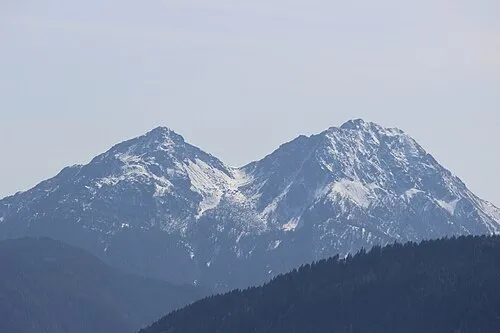 Monte Luco Grande Mountain, San Pancrazio/St. Pankraz11 km SW
-
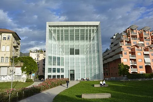 Museion Museum, Bolzano/Bozen15 km SE
-
Monte Luco Piccolo Mountain, San Pancrazio/St. Pankraz9.8 km SW
-
Monte Plat Mountain, Senale-San Felice/Unsere Liebe Frau im Walde-St. Felix9.9 km SW
-
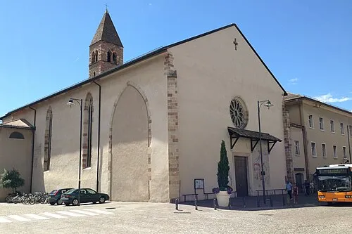 Chiesa dei Domenicani Attraction, Bolzano/Bozen15 km SE
-
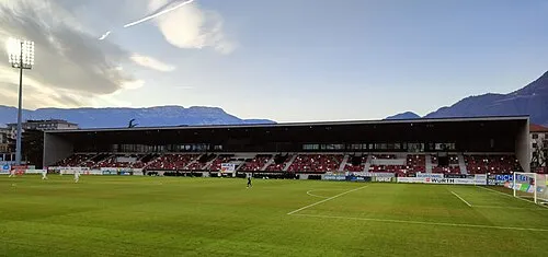 Stadio Druso Landmark, Bolzano/Bozen15 km SE
-
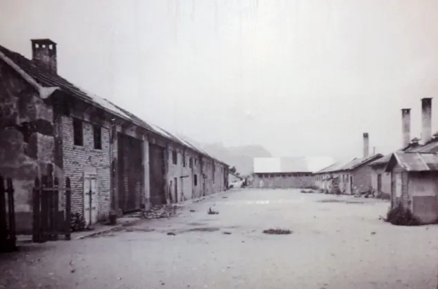 Bozen Transit Camp Historic site, Bolzano/Bozen14 km SE
Sources & licences
Data last updated: