Sesto/Sexten
Located in South Tyrol, Trentino-Alto Adige Coordinates: 46°42′09″ N 12°21′00″ E
- Population
- 1,880
- 1.9K
- Elevation
- 1,309 m
- above sea level
- Local time
- UTC+01:00
- Europe/Rome · UTC+01:00
- Places inside
- 8
- listed under Sesto/Sexten
- Airports
- BZO Bolzano Airport83 km
- INN Innsbruck Airport99 km
About Sesto/Sexten
Sesto/Sexten is a municipality. Location: South Tyrol, Trentino-Alto Adige. Population: 1,880. Elevation: 1,309 m. The best months to visit are July–August. The nearest airport is Bolzano Airport (83 km). Nearby sights include Cima Tre Scarperi and Valle Campo di Dentro.
Photos of Sesto/Sexten
-
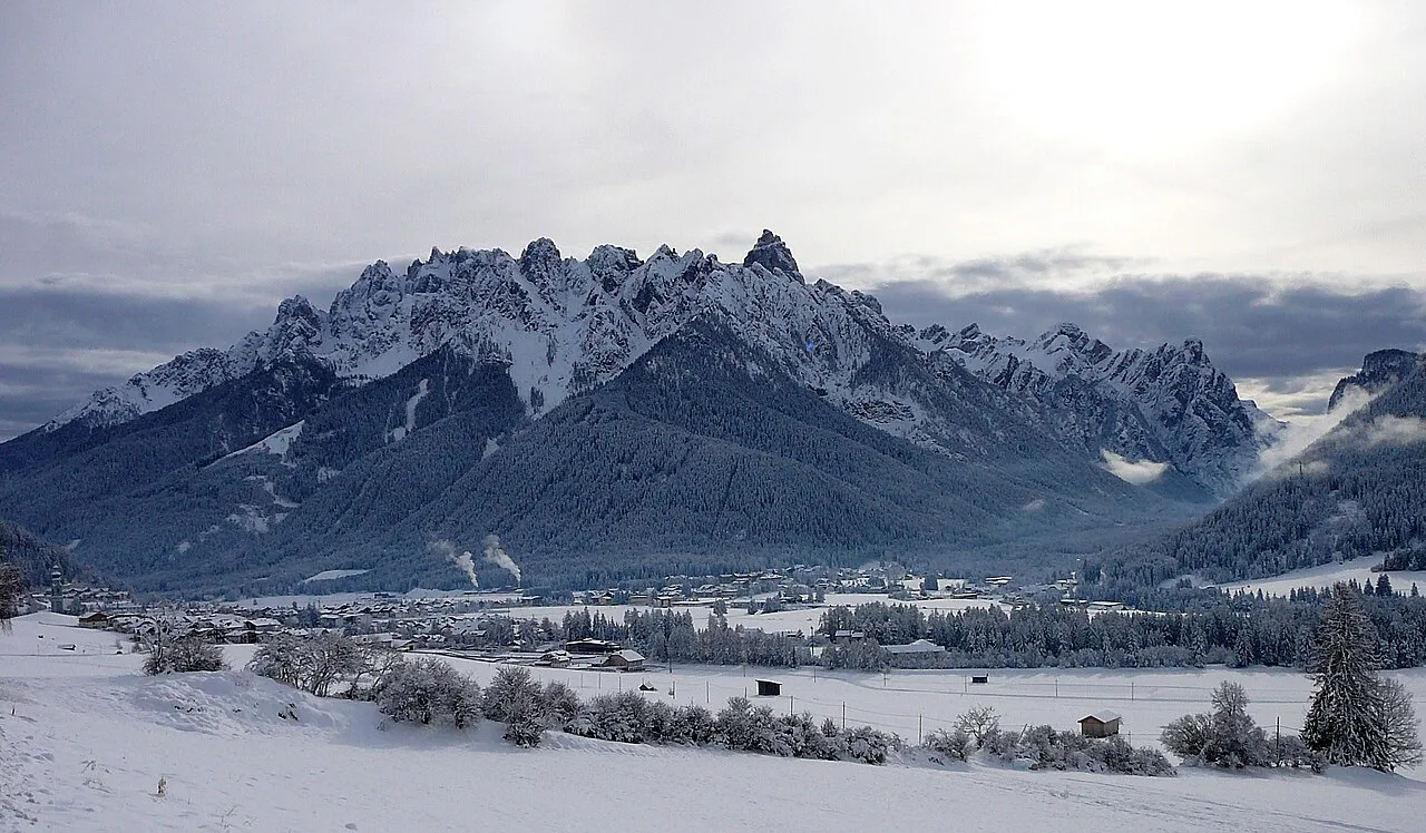
Cima Nove Llorenzi · CC BY-SA 3.0 -
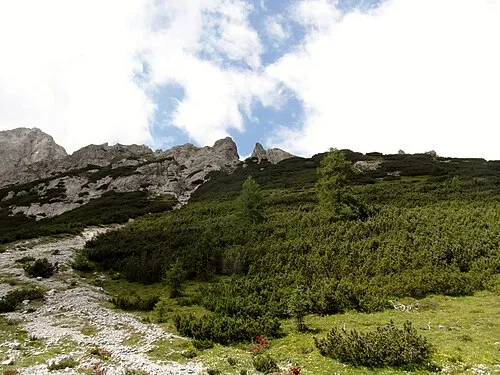
La Rocca Llorenzi · CC BY-SA 3.0 -
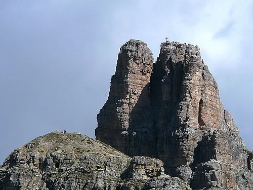
Torre di Toblin Llorenzi · CC BY-SA 3.0 -
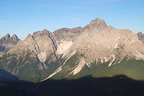
Cima Tre Scarperi Tigerente · CC BY 4.0 -
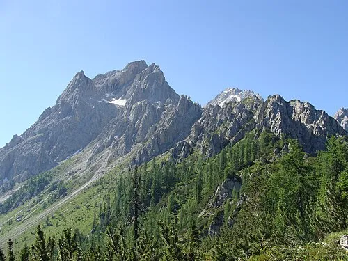
Croda Rossa Steffen 962 · Public domain


Climate of Sesto/Sexten
Best months for sightseeingBest months for sightseeing: July–August.
This month · November
A cold month
Day 6° · Night -1° · Rain 89 mm
- Hottest month
- July (day 19°)
- Coldest month
- January (night -5°)
- Wettest month
- July (153 mm)
- Driest month
- January (53 mm)
Bars: average monthly low and high temperature. Below: precipitation. Monthly averages for 1970–2000 at about 18 km resolution, adjusted for elevation. Highlighted months are mild and relatively dry. Source: WorldClim 2.1 (CC BY 4.0).
Show values as a table
| Month | Jan | Feb | Mar | Apr | May | Jun | Jul | Aug | Sep | Oct | Nov | Dec |
|---|---|---|---|---|---|---|---|---|---|---|---|---|
| Average high (°C) | 2° | 2° | 5° | 8° | 13° | 17° | 19° | 19° | 16° | 12° | 6° | 2° |
| Average low (°C) | -5° | -5° | -3° | 0° | 5° | 8° | 11° | 11° | 7° | 4° | -1° | -4° |
| Precipitation (mm) | 53 | 54 | 69 | 84 | 113 | 136 | 153 | 141 | 106 | 94 | 89 | 62 |
How to get to Sesto/Sexten
The nearest airport is Bolzano Airport (BZO), 83 km to the west as the crow flies. For international flights: Innsbruck Airport (INN) (99 km). The nearest large city is Innsbruck, 96 km to the northwest.
Airports
- Bolzano Airport (BZO) Bolzano (BZ) 83 kmwest
- Innsbruck Airport (INN) Innsbruck 99 kmnorthwest
- Treviso Airport (TSF) Treviso (TV) 118 kmsouth
Nearby large cities
- Innsbruck Population: 132.5K 96 kmnorthwest
- Salzburg Population: 157.2K 133 kmnortheast
- Klagenfurt Population: 100.3K 150 kmeast
- Munich Population: 1.5M 170 kmnorth
- Ljubljana Population: 272.2K 181 kmsoutheast
Straight-line distances; road distances are longer. Airport data: OurAirports.
Day trips from Sesto/Sexten
Within 100 km: 117 historic and cultural sites, 3,223 natural sites, 482 lakes, rivers and coasts.
0–25 km221 places
- Sille River 11 kmNE
- Unterer Ganitzsee Lake 24 kmNE
- Thurntaler Seen Lake 7 kmN
- Schwarzsee Lake 19 kmN
25–60 km1,754 places
- Piz Gralba Mountain 47 kmSW
- Piz Miara Mountain 47 kmSW
- Croda Nera Mountain 53 kmSW
- Fürlegsee Lake 52 kmNE
60–100 km1,847 places
- Prestreljenik Mountain 94 kmSE
- Brandlsee Lake 67 kmNE
- Brechlsee Lake 65 kmNE
- Schmiedingersee Lake 61 kmNE
Straight-line distances.
Places in Sesto/Sexten
8 places
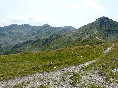
Mountains & nature2
- La Mutta · Mountain
- Lastron Scarperi · Mountain
Nearby attractions & nature
Everything nearby-
Cima Tre Scarperi Mountain, San Candido/Innichen4.1 km SW
-
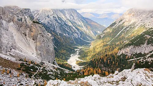 Valle Campo di Dentro Natural site, Trentino-Alto Adige4.6 km SW
-
La Rocca Mountain, San Candido/Innichen5 km W
-
Hochgruben Mountain, Tyrol4.6 km E
-
Torre di Toblin Mountain, San Candido/Innichen7.1 km SW
-
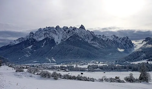 Cima Nove Mountain, San Candido/Innichen6.2 km W
-
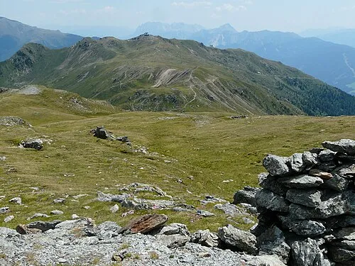 Thurntaler Mountain, Außervillgraten8.8 km N
-
Hollbrucker Spitze Mountain, Sillian6.2 km E
Sources & licences
Data last updated: