- Population
- 531,178
- 531.2K
- Elevation
- 2,153 m
- above sea level
- Local time
- UTC+01:00
- Europe/Rome · UTC+01:00
- Places inside
- 119
- listed under South Tyrol
- Airports
- BZO Bolzano Airport32 km
- INN Innsbruck Airport62 km
About South Tyrol
South Tyrol is a district. Location: Trentino-Alto Adige, Italy. Population: 531,178. The nearest airport is Bolzano Airport (32 km). Nearby sights include Val di Valles and Valle Sarentina.
Photos of South Tyrol
-
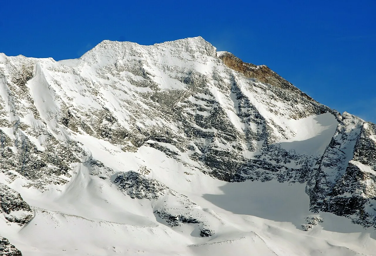
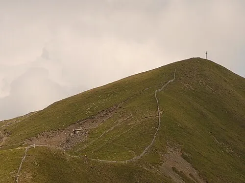
Croda Alta Svíčková · CC BY-SA 3.0 -
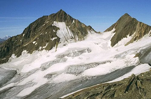
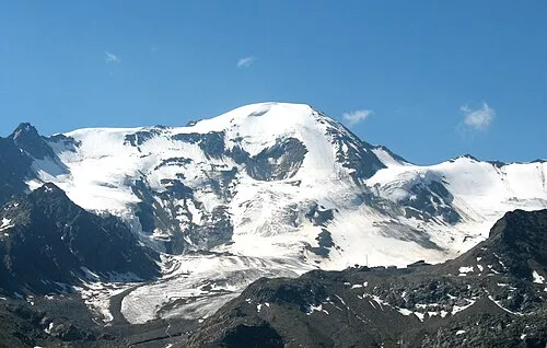
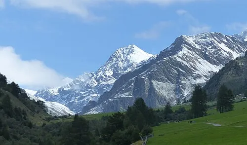
Cima di Sorgente di Fuori Cactus26 · CC BY-SA 3.0 -
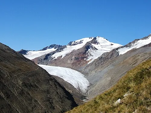
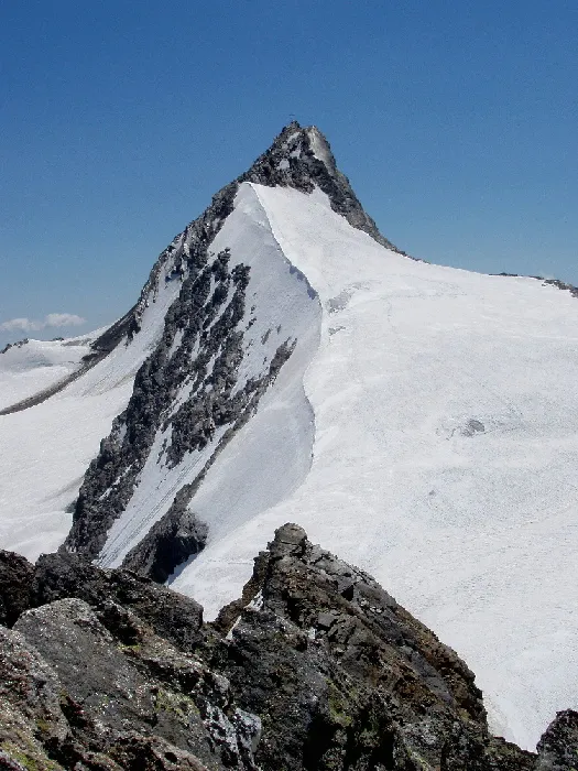
Cima di Sorgente de Dentro No machine-readable author provided. Cactus26 assumed · CC BY 2.5 -
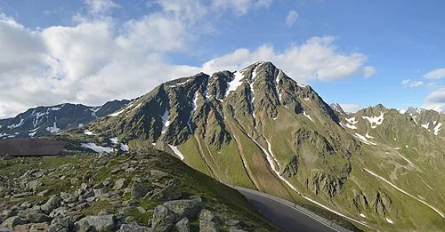
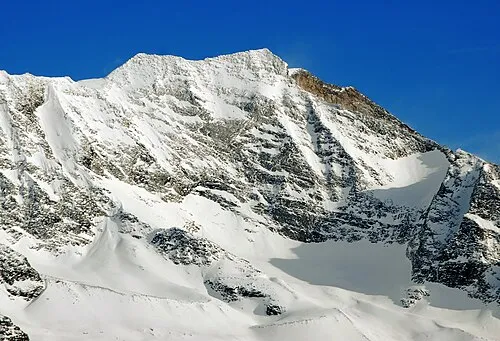
Monte Rombo Feel free to use my photos, but please mention me as the author and if you want send me a message . or · CC BY-SA 3.0 at -
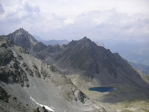
Plamorder Spitze Hurz42 · CC BY-SA 4.0


Climate of South Tyrol
This month · November
A cold month
Day -1° · Night -7° · Rain 59 mm
- Hottest month
- July (day 15°)
- Coldest month
- January (night -11°)
- Wettest month
- July (115 mm)
- Driest month
- February (33 mm)
Bars: average monthly low and high temperature. Below: precipitation. Monthly averages for 1970–2000 at about 18 km resolution, adjusted for elevation. Highlighted months are mild and relatively dry. Source: WorldClim 2.1 (CC BY 4.0).
Show values as a table
| Month | Jan | Feb | Mar | Apr | May | Jun | Jul | Aug | Sep | Oct | Nov | Dec |
|---|---|---|---|---|---|---|---|---|---|---|---|---|
| Average high (°C) | -4° | -3° | 0° | 3° | 8° | 12° | 15° | 14° | 11° | 6° | -1° | -4° |
| Average low (°C) | -11° | -10° | -8° | -5° | 0° | 3° | 5° | 5° | 2° | -2° | -7° | -10° |
| Precipitation (mm) | 35 | 33 | 44 | 56 | 83 | 108 | 115 | 107 | 81 | 72 | 59 | 39 |
How to get to South Tyrol
The nearest airport is Bolzano Airport (BZO), 32 km to the southwest as the crow flies. For international flights: Innsbruck Airport (INN) (62 km). The nearest large city is Innsbruck, 61 km to the north.
Airports
- Bolzano Airport (BZO) Bolzano (BZ) 32 kmsouthwest
- Innsbruck Airport (INN) Innsbruck 62 kmnorth
- Treviso Airport (TSF) Treviso (TV) 130 kmsoutheast
Nearby large cities
- Innsbruck Population: 132.5K 61 kmnorth
- Munich Population: 1.5M 158 kmnorth
- Salzburg Population: 157.2K 168 kmnortheast
- Augsburg Population: 301.1K 189 kmnorth
- Klagenfurt Population: 100.3K 215 kmeast
Straight-line distances; road distances are longer. Airport data: OurAirports.
Day trips from South Tyrol
Within 100 km: 86 historic and cultural sites, 4,043 natural sites, 449 lakes, rivers and coasts.
0–25 km48 places
- Cima di Valmala Mountain 24 kmNE
- Monte Pez Mountain 23 kmS
- Weiss Spitz Mountain 25 kmN
- Karnspitz Mountain 7 kmNW
25–60 km1,225 places
- Piz Gralba Mountain 31 kmSE
- Piz Miara Mountain 31 kmSE
- Croda Nera Mountain 38 kmSE
- Wild See Lake 31 kmN
60–100 km3,305 places
- Spadalone Mountain 88 kmSW
- Lai da Juata Lake 89 kmW
- Lai da Costainas Lake 81 kmW
- Lai da Minschun Lake 97 kmW
Straight-line distances.
Places in South Tyrol
119 places- 61 Selva di Val Gardena/Wolkenstein in Gröden 2.6K
- 62 Tirol 2.4K
- 63 Curon Venosta/Graun im Vinschgau 2.4K
- 64 Valle di Casies/Gsies 2.3K
- 65 Kastelbell-Tschars 2.3K
- 66 Cortaccia sulla strada del vino/Kurtatsch an der Weinstraße 2.2K
- 67 Brennero/Brenner 2.2K
- 68 Moso in Passiria/Moos in Passeier 2.1K
- 69 Nalles/Nals 2K
- 70 Santa Cristina Valgardena/St. Christina in Gröden 2K
- 71 Nova Levante/Welschnofen 2K
- 72 Tesimo/Tisens 2K
- 73 Sesto/Sexten 1.9K
- 74 Villandro/Villanders 1.9K
- 75 Postal/Burgstall 1.9K
- 76 Schluderns 1.8K
- 77 San Martino in Badia/St. Martin in Thurn 1.8K
- 78 Terento/Terenten 1.8K
- 79 Barbian 1.8K
- 80 Gargazzone/Gargazon 1.7K
- 81 Montagna sulla Strada del Vino/Montan an der Weinstraße 1.7K
- 82 Meltina/Mölten 1.7K
- 83 Aldein 1.7K
- 84 Niederdorf 1.6K
- 85 Lüsen 1.6K
- 86 Perca/Percha 1.6K
- 87 San Pancrazio/St. Pankraz 1.5K
- 88 Cermes/Tscherms 1.5K
- 89 Selva dei Molini/Mühlwald 1.4K
- 90 La Val 1.4K
- 91 Corvara in Badia/Corvara 1.4K
- 92 Rifiano/Riffian 1.4K
- 93 Magrè sulla strada del vino/Margreid an der Weinstraße 1.3K
- 94 Rodengo/Rodeneck 1.2K
- 95 Schnals 1.2K
- 96 Stelvio 1.1K
- 97 Vadena/Pfatten 1.1K
- 98 Trodena nel parco naturale/Truden im Naturpark 1K
- 99 Andrian 1K
- 100 Tiers 1K
- 101 Franzensfeste 1K
- 102 Tubre/Taufers im Münstertal 969
- 103 Verano/Vöran 959
- 104 Glorenza/Glurns 900
- 105 Martell 841
- 106 Avelengo/Hafling 778
- 107 Senale-San Felice/Unsere Liebe Frau im Walde-St. Felix 762
- 108 Plaus/Plaus 724
- 109 Cortina sulla strada del vino/Kurtinig an der Weinstraße 665
- 110 Prags 655
- 111 Predoi/Prettau 546
- 112 Anterivo/Altrei 398
- 113 Kuens 395
- 114 Lauregno/Laurein 342
- 115 Proveis 265
- 116 Ponte Gardena/Waidbruck 195
Bar: population relative to the most populous place in this list.
Mountains & nature3
- Ahrntal · Natural site
- Cima del Lago · Mountain
- Wildseespitze · Mountain
Nature and heritage in South Tyrol
Nearby attractions & nature
Everything nearby-
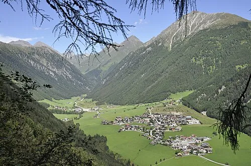 Val di Valles Natural site, Trentino-Alto Adige16 km NE
-
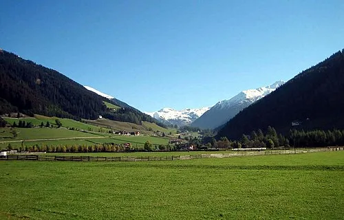 Valle Sarentina Natural site, Trentino-Alto Adige17 km SW
-
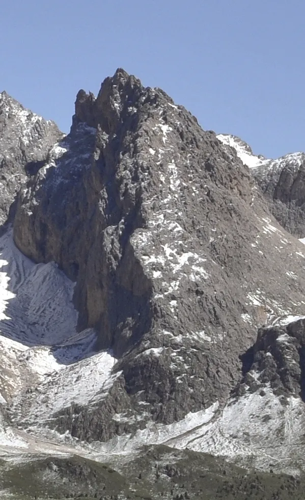 Sass da l'Ega Mountain, Veneto24 km SE
-
Piccola Fermeda Mountain, Veneto23 km SE
-
Gran Odla Mountain, Veneto23 km SE
-
Cima di Valmala Mountain, Tyrol24 km NE
Sources & licences
Data last updated: