Valle Sarentina
Located in Trentino-Alto Adige, Italy Coordinates: 46°35′00″ N 11°24′00″ E
- Elevation
- 1,292 m
- above sea level
- Local time
- UTC+01:00
- Europe/Rome · UTC+01:00
- Airports
- BZO Bolzano Airport15 km
- INN Innsbruck Airport75 km
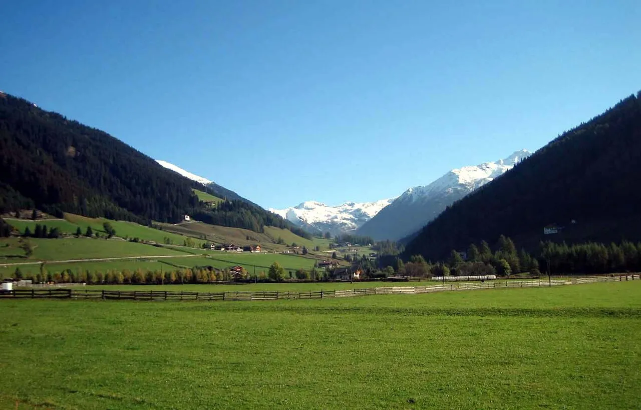
About Valle Sarentina
Valle Sarentina is a natural site. Location: Trentino-Alto Adige, Italy. The best months to visit are June–September. The nearest airport is Bolzano Airport (15 km). Nearby sights include Rittner Horn and Monte Forcella Sarentina.
Photos of Valle Sarentina
-

Karl Pferschy · Public domain -

Unknown author Unknown author · Public domain -

Plentn · CC0 -

Carl Moser · Public domain -

Mai-Sachme · CC0


Climate of Valle Sarentina
Best months for sightseeingBest months for sightseeing: June–September.
This month · November
A cold month
Day 5° · Night -2° · Rain 49 mm
- Hottest month
- July (day 21°)
- Coldest month
- January (night -5°)
- Wettest month
- July (94 mm)
- Driest month
- February (26 mm)
Bars: average monthly low and high temperature. Below: precipitation. Monthly averages for 1970–2000 at about 18 km resolution, adjusted for elevation. Highlighted months are mild and relatively dry. Source: WorldClim 2.1 (CC BY 4.0).
Show values as a table
| Month | Jan | Feb | Mar | Apr | May | Jun | Jul | Aug | Sep | Oct | Nov | Dec |
|---|---|---|---|---|---|---|---|---|---|---|---|---|
| Average high (°C) | 2° | 3° | 6° | 10° | 15° | 18° | 21° | 20° | 17° | 12° | 5° | 2° |
| Average low (°C) | -5° | -5° | -2° | 0° | 5° | 8° | 11° | 11° | 8° | 3° | -2° | -4° |
| Precipitation (mm) | 28 | 26 | 35 | 45 | 70 | 90 | 94 | 89 | 70 | 67 | 49 | 32 |
Other places to visit in this season: June July August September
How to get to Valle Sarentina
The nearest airport is Bolzano Airport (BZO), 15 km to the south as the crow flies. For international flights: Innsbruck Airport (INN) (75 km). The nearest large city is Innsbruck, 76 km to the north.
Airports
- Bolzano Airport (BZO) Bolzano (BZ) 15 kmsouth
- Innsbruck Airport (INN) Innsbruck 75 kmnorth
- Treviso Airport (TSF) Treviso (TV) 121 kmsoutheast
Nearby large cities
- Innsbruck Population: 132.5K 76 kmnorth
- Munich Population: 1.5M 173 kmnorth
- Salzburg Population: 157.2K 184 kmnortheast
- Augsburg Population: 301.1K 202 kmnorth
- Klagenfurt Population: 100.3K 223 kmeast
Straight-line distances; road distances are longer. Airport data: OurAirports.
Day trips from Valle Sarentina
Within 100 km: 57 historic and cultural sites, 3,656 natural sites, 258 lakes, rivers and coasts.
0–25 km72 places
- Monte Pez Mountain 16 kmSE
- Karnspitz Mountain 19 kmN
- Rosengartenspitze Mountain 22 kmSE
- Rotwand Mountain 24 kmSE
25–60 km1,087 places
- Piz Gralba Mountain 31 kmE
- Piz Miara Mountain 31 kmE
- Croda Nera Mountain 34 kmSE
- Wild See Lake 47 kmN
60–100 km2,812 places
- Spadalone Mountain 72 kmSW
- Dosso Rotondo Mountain 94 kmS
- Lai da Juata Lake 81 kmW
- Lai Sura Lake 98 kmW
Straight-line distances.
Nearest towns and villages
-
Osteria Turisti Village, Sarentino/Sarntal1.5 km W
-
Auna di Sopra Village, Renon2.6 km S
-
Vanga Village, Renon2.7 km SW
-
Mezzavia Village, San Genesio Atesino/Jenesien2.2 km SW
-
Gissmann Village, Renon2.1 km NE
-
Avigna Village, San Genesio Atesino/Jenesien4.3 km SW
Nearby attractions & nature
Everything nearby-
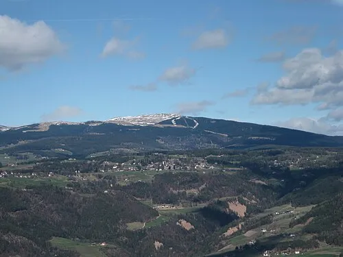 Rittner Horn Mountain, Barbian5.9 km NE
-
Monte Forcella Sarentina Mountain, Sarentino/Sarntal7.5 km N
-
Monte Tondo Mountain, Renon8 km S
-
Colle del Giovo Mountain, Meltina/Mölten9.6 km W
-
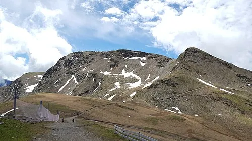 Monte Catino Mountain, Sarentino/Sarntal13 km NW
-
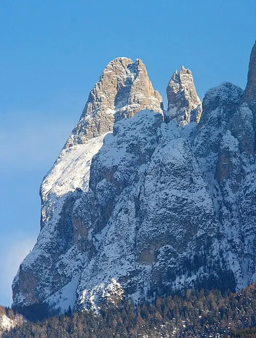 Punta Santner Mountain, Castelrotto/Kastelruth15 km SE
-
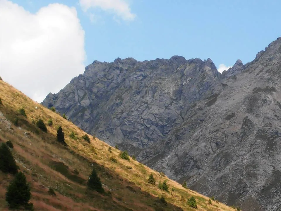 Vorderplattspitze Mountain, Sarentino/Sarntal16 km NW
-
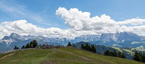 Monte Bullaccia Mountain, Castelrotto/Kastelruth17 km E
More nature in Italy
-
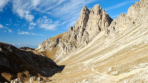 Cima di Terrarossa Mountain, Tiers19 km SE
-
Monte Balzo Mountain, Tiers15 km SE
-
Euringer - Punta Euringer Mountain, Castelrotto/Kastelruth15 km SE
-
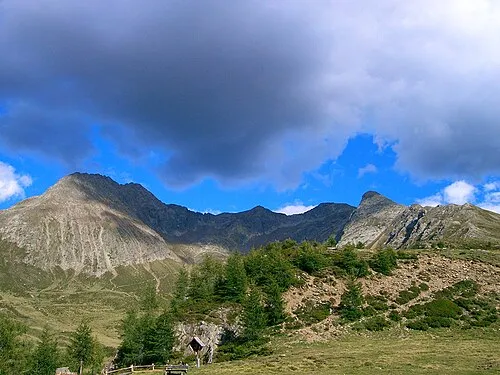 Hirzer Mountain, Schenna20 km NW
-
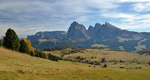 Alpe di Siusi Natural site, Castelrotto/Kastelruth19 km E
-
Monte Castello Mountain, Völs am Schlern15 km SE
Sources & licences
Data last updated: · 2 independent sources