Val di Martello
Located in Trentino-Alto Adige, Italy Coordinates: 46°32′00″ N 10°47′00″ E
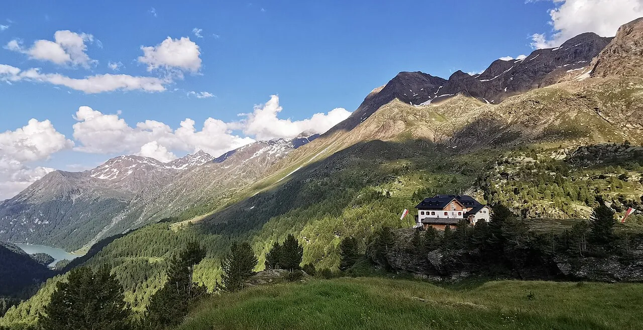
- Elevation
- 1,971 m
- above sea level
- Local time
- UTC+01:00
- Europe/Rome · UTC+01:00
- Airports
- BZO Bolzano Airport42 km
- INN Innsbruck Airport91 km
About Val di Martello
Val di Martello is a natural site. Location: Trentino-Alto Adige, Italy. The best months to visit are July–August. The nearest airport is Bolzano Airport (42 km). Nearby sights include Cima Dodici and Punta Tagliata.
Photos of Val di Martello
-

Julius Meurer · Public domain -

Whgler · CC BY 4.0 -

Whgler · CC BY-SA 4.0 -

Luwigalons · CC0 -

Goesseln · CC BY-SA 4.0


Climate of Val di Martello
Best months for sightseeingBest months for sightseeing: July–August.
This month · November
A cold month
Day 1° · Night -5° · Rain 38 mm
- Hottest month
- July (day 15°)
- Coldest month
- January (night -9°)
- Wettest month
- July (68 mm)
- Driest month
- February (27 mm)
Bars: average monthly low and high temperature. Below: precipitation. Monthly averages for 1970–2000 at about 18 km resolution, adjusted for elevation. Highlighted months are mild and relatively dry. Source: WorldClim 2.1 (CC BY 4.0).
Show values as a table
| Month | Jan | Feb | Mar | Apr | May | Jun | Jul | Aug | Sep | Oct | Nov | Dec |
|---|---|---|---|---|---|---|---|---|---|---|---|---|
| Average high (°C) | -2° | -1° | 2° | 4° | 9° | 13° | 15° | 15° | 12° | 7° | 1° | -1° |
| Average low (°C) | -9° | -9° | -7° | -4° | 1° | 4° | 6° | 6° | 4° | 0° | -5° | -8° |
| Precipitation (mm) | 32 | 27 | 35 | 38 | 52 | 63 | 68 | 66 | 51 | 46 | 38 | 33 |
How to get to Val di Martello
The nearest airport is Bolzano Airport (BZO), 42 km to the east as the crow flies. For international flights: Innsbruck Airport (INN) (91 km). The nearest large city is Innsbruck, 94 km to the northeast.
Airports
- Bolzano Airport (BZO) Bolzano (BZ) 42 kmeast
- Innsbruck Airport (INN) Innsbruck 91 kmnortheast
- Verona Villafranca Valerio Catullo Airport (VRN) Caselle (VR) 127 kmsouth
Nearby large cities
- Innsbruck Population: 132.5K 94 kmnortheast
- Munich Population: 1.5M 188 kmnorth
- Winterthur Population: 111.8K 190 kmnorthwest
- Zurich Population: 415.4K 194 kmnorthwest
- Augsburg Population: 301.1K 205 kmnorth
Straight-line distances; road distances are longer. Airport data: OurAirports.
Day trips from Val di Martello
Within 100 km: 51 historic and cultural sites, 4,587 natural sites, 398 lakes, rivers and coasts.
0–25 km174 places
- Lai da Costainas Lake 24 kmW
- Lai da Minschuns Lake 24 kmW
- Piz Costainas Mountain 24 kmW
- Fallaschkopf Mountain 24 kmW
25–60 km1,287 places
- Spadalone Mountain 44 kmS
- Lago di Poschiavo Lake 60 kmSW
- Lej Minor Lake 58 kmW
- Lai da Juata Lake 36 kmW
60–100 km3,575 places
- Dosso Rotondo Mountain 84 kmS
- Chaviolas Island 81 kmW
- Lajets Lake 91 kmW
- Silvaplanersee Lake 76 kmW
Straight-line distances.
Nearest towns and villages
-
Martell Village, Martell2.4 km N
-
Martell Municipality, South Tyrol3.7 km N
-
Meiern Village, Martell3.5 km N
-
Transacqua Village, Martell3.4 km N
-
Pramestrale Village, Martell3.2 km N
-
Al Piano Village, Martell3.4 km N
Nearby attractions & nature
Everything nearby-
Cima Dodici Mountain, Martell0.7 km SW
-
Punta Tagliata Mountain, Martell1.9 km W
-
Il Pulpito di Flim Mountain, Martell2.5 km E
-
Flim Mountain, Martell2.7 km NE
-
Cima di Tovo Mountain, Martell3.4 km E
-
Cima Fosso di Saldo Mountain, Laces/Latsch4.3 km NE
-
Cima Fontana Bianca Mountain, Lombardy4.4 km S
-
Monte del Succhio Mountain, Martell4.5 km NW
More nature in Italy
-
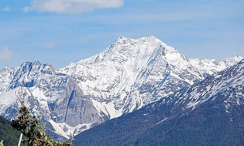 Orgel Spitze Mountain, Silandro/Schlanders6 km NW
-
Lorchen-Spitz Mountain, Rabbi5.5 km S
-
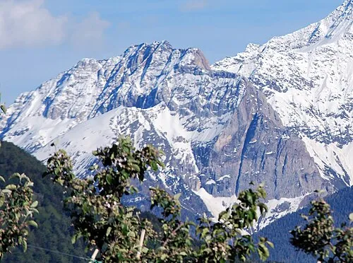 Croda Jenne Mountain, Silandro/Schlanders7 km NW
-
Sopra le Frane Mountain, Martell4.6 km W
-
Corno di Slúder Mountain, Martell5 km W
-
Croda Bianca Mountain, Silandro/Schlanders5.5 km NW
Sources & licences
Data last updated: · 2 independent sources