- Elevation
- 1,113 m
- above sea level
- Local time
- UTC+01:00
- Europe/Rome · UTC+01:00
- Airports
- BZO Bolzano Airport60 km
- VBS Brescia Gabriele d'Annunzio Airport86 km
About Val Genova
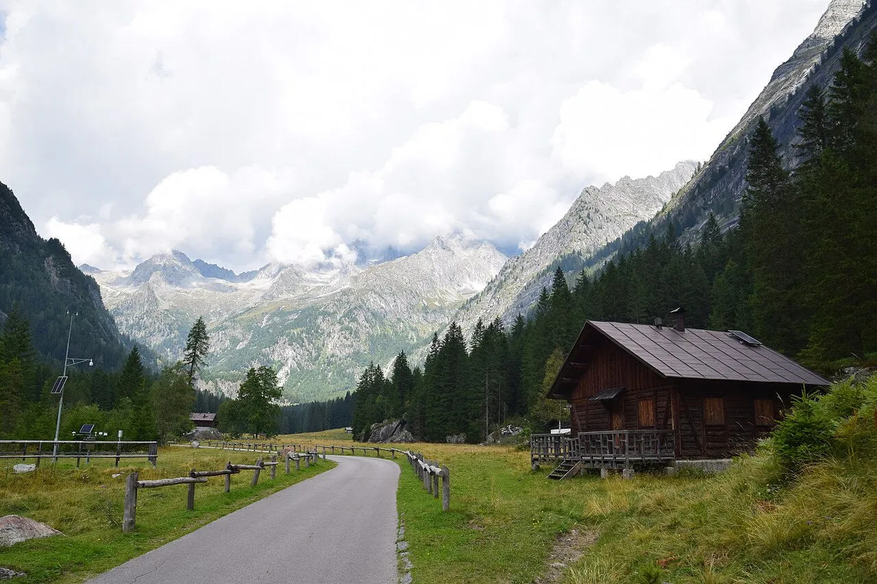
Val Genova is a natural site. Location: Trentino-Alto Adige, Italy. The best months to visit are June–August. The nearest airport is Bolzano Airport (60 km). Nearby sights include Cimon della Gere and Monte Ospedale.
Photos of Val Genova
-

Elena749 · CC BY-SA 4.0 -

Syrio · CC BY-SA 4.0 -

Syrio · CC BY-SA 4.0 -

Davide Vincenzi · CC BY-SA 4.0 -

Gabri80 · CC BY-SA 3.0


Climate of Val Genova
Best months for sightseeingBest months for sightseeing: June–August.
This month · November
A cold month
Day 7° · Night 1° · Rain 22 mm
- Hottest month
- July (day 21°)
- Coldest month
- January (night -3°)
- Wettest month
- July (45 mm)
- Driest month
- February (13 mm)
Bars: average monthly low and high temperature. Below: precipitation. Monthly averages for 1970–2000 at about 18 km resolution, adjusted for elevation. Highlighted months are mild and relatively dry. Source: WorldClim 2.1 (CC BY 4.0).
Show values as a table
| Month | Jan | Feb | Mar | Apr | May | Jun | Jul | Aug | Sep | Oct | Nov | Dec |
|---|---|---|---|---|---|---|---|---|---|---|---|---|
| Average high (°C) | 3° | 4° | 7° | 9° | 14° | 18° | 21° | 21° | 17° | 12° | 7° | 4° |
| Average low (°C) | -3° | -3° | -1° | 2° | 7° | 10° | 12° | 12° | 9° | 6° | 1° | -2° |
| Precipitation (mm) | 16 | 13 | 18 | 23 | 37 | 44 | 45 | 44 | 38 | 35 | 22 | 17 |
How to get to Val Genova
The nearest airport is Bolzano Airport (BZO), 60 km to the northeast as the crow flies. For international flights: Verona Villafranca Valerio Catullo Airport (VRN) (87 km). The nearest large city is Innsbruck, 134 km to the northeast.
Airports
- Bolzano Airport (BZO) Bolzano (BZ) 60 kmnortheast
- Brescia Gabriele d'Annunzio Airport (VBS) Montichiari (BS) 86 kmsouth
- Verona Villafranca Valerio Catullo Airport (VRN) Caselle (VR) 87 kmsouth
Nearby large cities
- Innsbruck Population: 132.5K 134 kmnortheast
- Zurich Population: 415.4K 210 kmnorthwest
- Winterthur Population: 111.8K 210 kmnorthwest
- Munich Population: 1.5M 230 kmnorth
- Augsburg Population: 301.1K 246 kmnorth
Straight-line distances; road distances are longer. Airport data: OurAirports.
Day trips from Val Genova
Within 100 km: 38 historic and cultural sites, 3,125 natural sites, 238 lakes, rivers and coasts.
0–25 km249 places
- Spadalone Mountain 5 kmSE
- Monte Tonale Occidentale Mountain 16 kmNW
- Monte Carè Alto Mountain 9 kmSW
- Cima Brenta Mountain 18 kmE
25–60 km831 places
- Dosso Rotondo Mountain 49 kmSE
- Lago di Poschiavo Lake 46 kmW
- Lago Bianco Lake 57 kmNW
- Lej Minor Lake 57 kmNW
60–100 km2,321 places
- Chaviolas Island 76 kmW
- Lajets Lake 90 kmNW
- Silvaplanersee Lake 74 kmNW
- Lake Sils Lake 77 kmW
Straight-line distances.
Nearest towns and villages
Nearby attractions & nature
Everything nearby-
Cimon della Gere Mountain, Giustino2.6 km N
-
Monte Ospedale Mountain, Lombardy3.5 km S
-
Cimon delle Rocchette Mountain, Strembo4.1 km N
-
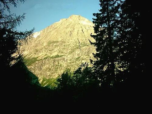 Monte Menicigolo Mountain, Spiazzo5.1 km NW
-
Monte Fornace Mountain, Lombardy4.8 km S
-
Spadalone Mountain, Caderzone Terme4.8 km SE
-
Corno Alto Mountain, Caderzone Terme4.9 km SE
-
Cimone di Pra Secco Mountain, Lombardy5 km S
More nature in Italy
-
 Crozzon di Lares Mountain, Valdaone6.1 km W
-
 Corno di Cavento Mountain, Valdaone7.1 km SW
-
Monte Stablel Mountain, Spiazzo5.1 km W
-
Ago Mingo Mountain, Spiazzo5.3 km W
-
La Cingla Mountain, Caderzone Terme5.3 km SE
-
Monte Coel Mountain, Massimeno5.4 km SW
Sources & licences
Data last updated: · 2 independent sources