- Elevation
- 238 m
- above sea level
- Local time
- UTC+01:00
- Europe/Rome · UTC+01:00
- Airports
- TSF Treviso Airport57 km
- BZO Bolzano Airport57 km
About Val Sugana
Val Sugana is a natural site. Location: Trentino-Alto Adige, Italy.
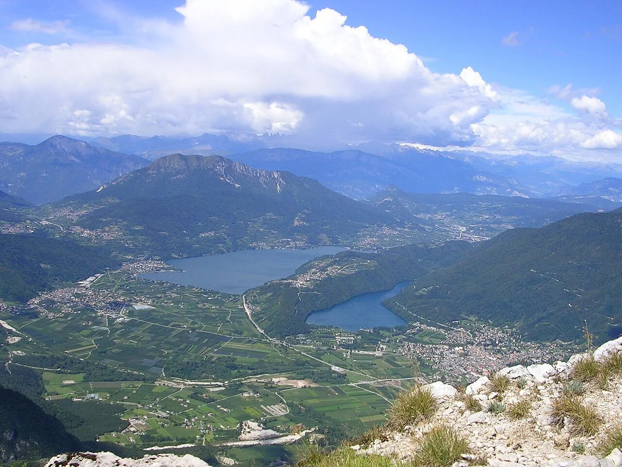
The Valsugana (Italian: Valsugana, German: Suganertal) or Sugana Valley is one of the most important valleys in the autonomous province of Trentino in Northern Italy. Leading into the Alps' foothills, an important main north-south Roman road, the Via Claudia Augusta, one of Europe's main roads since its construction in Antiquity, winds along the valley and connects the Adriatic with the historic Holy Roman Empire and Frankish kingdom's centre of Augsburg.
Source: Wikipedia · CC BY-SA 4.0
At a glance
- Area
- 976 km²
Source: Wikidata
Photos of Val Sugana
-

Sydney Carline · Public domain -

Syrio · CC BY-SA 4.0 -

Ste Valentini · CC BY-SA 4.0 -

Syrio · CC BY-SA 4.0 -

GianoM · CC BY-SA 4.0


Climate of Val Sugana
Best months for sightseeingBest months for sightseeing: May–June, September.
This month · November
A cold month
Day 12° · Night 5° · Rain 68 mm
- Hottest month
- July (day 28°)
- Coldest month
- January (night 1°)
- Wettest month
- June (99 mm)
- Driest month
- February (39 mm)
Bars: average monthly low and high temperature. Below: precipitation. Monthly averages for 1970–2000 at about 18 km resolution, adjusted for elevation. Highlighted months are mild and relatively dry. Source: WorldClim 2.1 (CC BY 4.0).
Show values as a table
| Month | Jan | Feb | Mar | Apr | May | Jun | Jul | Aug | Sep | Oct | Nov | Dec |
|---|---|---|---|---|---|---|---|---|---|---|---|---|
| Average high (°C) | 7° | 9° | 13° | 16° | 21° | 25° | 28° | 27° | 23° | 18° | 12° | 8° |
| Average low (°C) | 1° | 1° | 4° | 8° | 13° | 16° | 18° | 18° | 15° | 10° | 5° | 2° |
| Precipitation (mm) | 40 | 39 | 50 | 67 | 87 | 99 | 88 | 92 | 84 | 91 | 68 | 44 |
How to get to Val Sugana
The nearest airport is Treviso Airport (TSF), 57 km to the southeast as the crow flies. The nearest large city is Innsbruck, 142 km to the north.
Airports
- Treviso Airport (TSF) Treviso (TV) 57 kmsoutheast
- Bolzano Airport (BZO) Bolzano (BZ) 57 kmnorthwest
- Venice Marco Polo Airport (VCE) Venezia (VE) 77 kmsoutheast
Nearby large cities
- Innsbruck Population: 132.5K 142 kmnorth
- Klagenfurt Population: 100.3K 215 kmeast
- Ljubljana Population: 272.2K 220 kmeast
- Salzburg Population: 157.2K 226 kmnortheast
- Rijeka Population: 108K 229 kmeast
Straight-line distances; road distances are longer. Airport data: OurAirports.
Day trips from Val Sugana
Within 100 km: 63 historic and cultural sites, 1,544 natural sites, 20 lakes, rivers and coasts.
0–25 km73 places
- Mislkopf Mountain 21 kmNW
- Cima del Frate Mountain 15 kmNW
- Monte Tesoro Mountain 24 kmE
- Monte Solarolo Mountain 16 kmSE
25–60 km616 places
- Dosso Rotondo Mountain 58 kmSW
- Piz Gralba Mountain 59 kmN
- Piz Miara Mountain 59 kmN
- Croda Nera Mountain 49 kmN
60–100 km938 places
- Burano Island 82 kmSE
- Sacca Fisola Island 81 kmSE
- San Clemente Island 84 kmSE
- Spadalone Mountain 75 kmW
Straight-line distances.
Nearest towns and villages
Nearby attractions & nature
Everything nearby-
Monega Di Campo Mountain, Arsiè1.6 km E
-
Monte Valnappe Mountain, Castello Tesino3.9 km N
-
Monte Pasolin Mountain, Castello Tesino4.8 km N
-
Monte Picosta Mountain, Castello Tesino6.1 km N
-
Col Perre Mountain, Lamon6.4 km NE
-
Monte Cismon Mountain, Cinte Tesino7.5 km NW
-
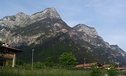 Monte Mezza Mountain, Cinte Tesino8.3 km NW
-
Cima la Presa Mountain, Ospedaletto8.8 km NW
More nature in Italy
-
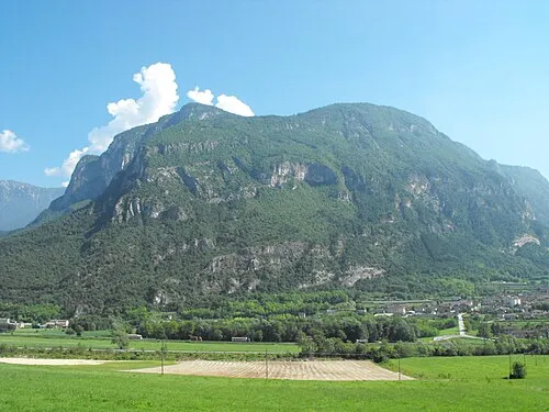 Monte Lefre Mountain, Castel Ivano11 km NW
-
Monte Silana Mountain, Pieve Tesino10 km NW
-
Monte Agaro Mountain, Castello Tesino11 km N
-
Il Colazzo Mountain, Castel Ivano12 km W
-
Cima Dodici Mountain, Borgo Valsugana15 km W
-
Monte Fierollo Mountain, Pieve Tesino13 km NW
Sources & licences
Data last updated: · 2 independent sources