Monticello
Located in Terranuova Bracciolini, Province of Arezzo Coordinates: 43°31′09″ N 11°38′44″ E
- Population
- 18
- 18
- Elevation
- 249 m
- above sea level
- Local time
- UTC+01:00
- Europe/Rome · UTC+01:00
- Airports
- FLR Florence Airport, Peretola48 km
- FRL Forlì-Luigi Ridolfi International Airport82 km
About Monticello
Monticello is a village. Location: Terranuova Bracciolini, Province of Arezzo. Population: 18. Elevation: 249 m. The best months to visit are May–June, September. The nearest airport is Florence Airport, Peretola (48 km). Nearby sights include Stadio Città di Arezzo and Monte Pianellaccio.
Climate of Monticello
Best months for sightseeingBest months for sightseeing: May–June, September.
This month · November
A wet month
Day 13° · Night 6° · Rain 133 mm
- Hottest month
- August (day 29°)
- Coldest month
- January (night 2°)
- Wettest month
- November (133 mm)
- Driest month
- July (41 mm)
Bars: average monthly low and high temperature. Below: precipitation. Monthly averages for 1970–2000 at about 18 km resolution, adjusted for elevation. Highlighted months are mild and relatively dry. Source: WorldClim 2.1 (CC BY 4.0).
Show values as a table
| Month | Jan | Feb | Mar | Apr | May | Jun | Jul | Aug | Sep | Oct | Nov | Dec |
|---|---|---|---|---|---|---|---|---|---|---|---|---|
| Average high (°C) | 9° | 11° | 14° | 17° | 22° | 26° | 29° | 29° | 25° | 19° | 13° | 10° |
| Average low (°C) | 2° | 2° | 5° | 7° | 11° | 15° | 17° | 17° | 14° | 10° | 6° | 3° |
| Precipitation (mm) | 77 | 78 | 82 | 92 | 75 | 68 | 41 | 58 | 83 | 115 | 133 | 103 |
How to get to Monticello
The nearest airport is Florence Airport, Peretola (FLR), 48 km to the northwest as the crow flies. The nearest large city is Rijeka, 300 km to the northeast.
Airports
- Florence Airport, Peretola (FLR) Firenze (FI) 48 kmnorthwest
- Forlì-Luigi Ridolfi International Airport (FRL) Forlì (FC) 82 kmnortheast
- Perugia San Francesco d'Assisi – Umbria International Airport (PEG) Perugia (PG) 85 kmsoutheast
Nearby large cities
- Rijeka Population: 108K 300 kmnortheast
- Nice Population: 342.7K 354 kmwest
- Ljubljana Population: 272.2K 361 kmnortheast
- Split Population: 149.8K 388 kmeast
Straight-line distances; road distances are longer. Airport data: OurAirports.
Day trips from Monticello
Within 100 km: 145 historic and cultural sites, 233 natural sites, 23 lakes, rivers and coasts.
0–25 km5 places
- Monti del Chianti Mountain 19 kmW
- Monte Pianellaccio Mountain 16 kmN
- Croce di Pratomagno Mountain 15 kmN
- Casentino Natural site 24 kmNE
25–60 km126 places
- Isola Polvese Island 60 kmSE
- Monte della Zucca Mountain 42 kmNE
- Monte Vasone Mountain 46 kmSW
- Le Masse di Siena Mountain 35 kmSW
60–100 km270 places
- Appennino Umbro Mountain 86 kmSE
- Monte del Pantano Mountain 71 kmE
- Poggio di Iavello Mountain 67 kmNW
- Poggio Mosconcino Mountain 88 kmSW
Straight-line distances.
Nearby attractions & nature
Everything nearby-
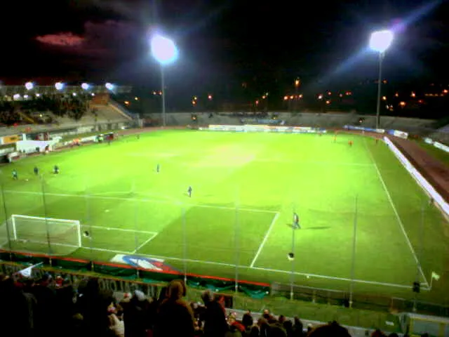 Stadio Città di Arezzo Landmark, Arezzo21 km E
-
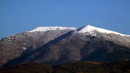 Monte Pianellaccio Mountain, Castel San Niccolò16 km N
-
Croce di Pratomagno Mountain, Castel San Niccolò15 km N
-
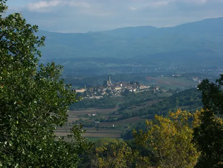 Casentino Natural site, Tuscany24 km NE
-
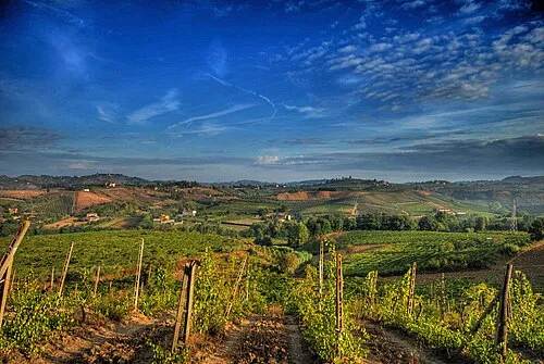 Monti del Chianti Mountain, Tuscany19 km W
Other cities and towns in Terranuova Bracciolini
-
 Campogialli Village, Terranuova Bracciolini4 km NE
-
 Traiana Village, Terranuova Bracciolini4.2 km NE
-
Comugni Village, Terranuova Bracciolini3.5 km NE
-
 Penna Village, Terranuova Bracciolini6 km NW
-
Lungarno Village, Terranuova Bracciolini5.3 km W
-
 Montemarciano Village, Terranuova Bracciolini8 km N
Sources & licences
Data last updated: · 2 independent sources