Catignano
Located in Gambassi Terme, Province of Florence Coordinates: 43°33′34″ N 10°59′10″ E

- Population
- 54
- 54
- Elevation
- 148 m
- above sea level
- Local time
- UTC+01:00
- Europe/Rome · UTC+01:00
- Airports
- FLR Florence Airport, Peretola33 km
- PSA Pisa International Airport50 km
About Catignano
Catignano is a village. Location: Gambassi Terme, Province of Florence. Population: 54. Elevation: 148 m. The best months to visit are May–June, September. The nearest airport is Florence Airport, Peretola (33 km). Nearby sights include Torre del Diavolo and Stadio Carlo Castellani.
Photos of Catignano
-

LigaDue · CC BY-SA 4.0 -

LigaDue · CC BY-SA 4.0


Climate of Catignano
Best months for sightseeingBest months for sightseeing: May–June, September.
This month · November
A wet month
Day 14° · Night 6° · Rain 109 mm
- Hottest month
- July (day 29°)
- Coldest month
- January (night 2°)
- Wettest month
- November (109 mm)
- Driest month
- July (33 mm)
Bars: average monthly low and high temperature. Below: precipitation. Monthly averages for 1970–2000 at about 18 km resolution, adjusted for elevation. Highlighted months are mild and relatively dry. Source: WorldClim 2.1 (CC BY 4.0).
Show values as a table
| Month | Jan | Feb | Mar | Apr | May | Jun | Jul | Aug | Sep | Oct | Nov | Dec |
|---|---|---|---|---|---|---|---|---|---|---|---|---|
| Average high (°C) | 10° | 12° | 14° | 17° | 22° | 26° | 29° | 29° | 25° | 20° | 14° | 11° |
| Average low (°C) | 2° | 3° | 5° | 7° | 11° | 15° | 17° | 17° | 14° | 11° | 6° | 3° |
| Precipitation (mm) | 65 | 61 | 66 | 77 | 60 | 51 | 33 | 54 | 83 | 104 | 109 | 77 |
How to get to Catignano
The nearest airport is Florence Airport, Peretola (FLR), 33 km to the northeast as the crow flies. The nearest large city is Nice, 301 km to the west.
Airports
- Florence Airport, Peretola (FLR) Firenze (FI) 33 kmnortheast
- Pisa International Airport (PSA) Pisa (PI) 50 kmwest
- Marina di Campo Airport (EBA) Campo nell'Elba (LI) 107 kmsouthwest
Nearby large cities
- Nice Population: 342.7K 301 kmwest
- Rijeka Population: 108K 338 kmnortheast
- Ljubljana Population: 272.2K 393 kmnortheast
Straight-line distances; road distances are longer. Airport data: OurAirports.
Day trips from Catignano
Within 100 km: 144 historic and cultural sites, 236 natural sites, 47 lakes, rivers and coasts.
0–25 km10 places
- I Fornelli Mountain 24 kmN
- Poggio ai Colli Mountain 18 kmS
- Monte Calvarino Mountain 25 kmE
- Teatro dei Varii Attraction 19 kmSE
25–60 km140 places
- Poggio di Iavello Mountain 46 kmN
- Cormorano Beach 51 kmSW
- Cala del Leone Beach 52 kmW
- Spiaggia di Calignaia Beach 53 kmW
60–100 km277 places
- Poggio Mosconcino Mountain 83 kmS
- Parco della Rimembranza Natural site 89 kmS
- Parco di Villa Pizzetti Natural site 90 kmS
- Parco del fiume Ombrone Silvano Signori Natural site 90 kmS
Straight-line distances.
Nearby attractions & nature
Everything nearby-
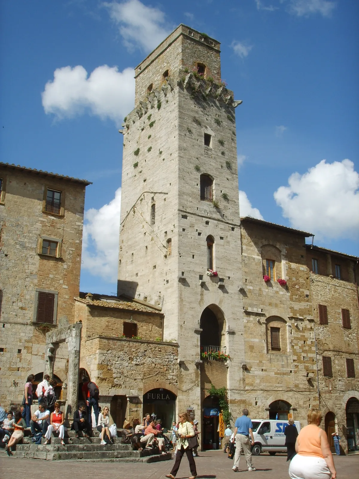 Torre del Diavolo Historic site, San Gimignano11 km SE
-
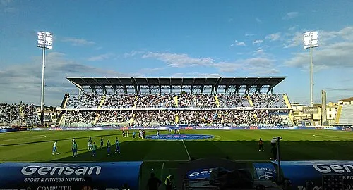 Stadio Carlo Castellani Landmark, Empoli19 km N
-
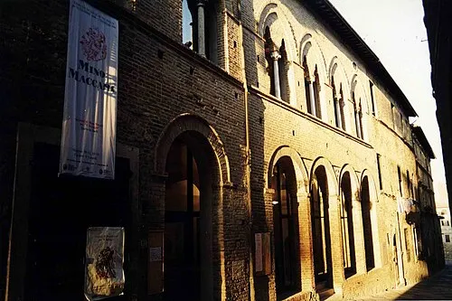 Teatro dei Varii Attraction, Colle di Val d'Elsa19 km SE
-
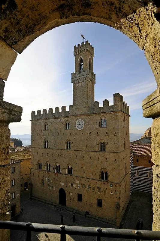 Palazzo dei Priori Historic site, Volterra20 km SW
-
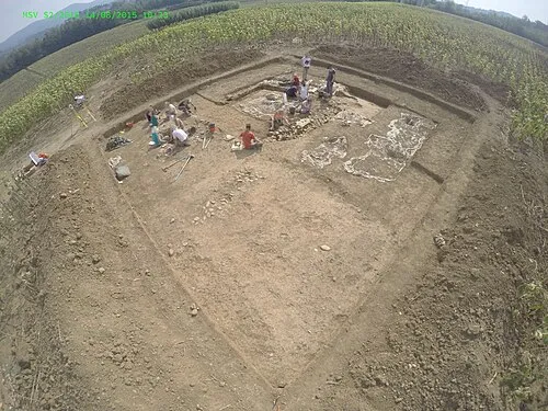 Molino San Vincenzo Historic site, Montespertoli17 km NE
-
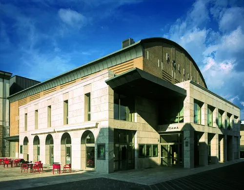 Teatro Politeama Attraction, Poggibonsi16 km SE
Sources & licences
Data last updated: · 2 independent sources