Impruneta
Located in Province of Florence, Tuscany Coordinates: 43°41′13″ N 11°15′17″ E
- Population
- 14,643
- 14.6K
- Elevation
- 283 m
- above sea level
- Local time
- UTC+01:00
- Europe/Rome · UTC+01:00
- Places inside
- 25
- listed under Impruneta
- Airports
- FLR Florence Airport, Peretola14 km
- PSA Pisa International Airport70 km
About Impruneta
Impruneta is a municipality. Location: Province of Florence, Tuscany. Population: 14,643. Elevation: 283 m. The best months to visit are May–June, September. The nearest airport is Florence Airport, Peretola (14 km). Nearby sights include Pitti Palace and Boboli Gardens.
Climate of Impruneta
Best months for sightseeingBest months for sightseeing: May–June, September.
This month · November
A wet month
Day 13° · Night 5° · Rain 115 mm
- Hottest month
- July (day 30°)
- Coldest month
- January (night 1°)
- Wettest month
- November (115 mm)
- Driest month
- July (39 mm)
Bars: average monthly low and high temperature. Below: precipitation. Monthly averages for 1970–2000 at about 18 km resolution, adjusted for elevation. Highlighted months are mild and relatively dry. Source: WorldClim 2.1 (CC BY 4.0).
Show values as a table
| Month | Jan | Feb | Mar | Apr | May | Jun | Jul | Aug | Sep | Oct | Nov | Dec |
|---|---|---|---|---|---|---|---|---|---|---|---|---|
| Average high (°C) | 9° | 11° | 14° | 17° | 22° | 26° | 30° | 30° | 25° | 19° | 13° | 10° |
| Average low (°C) | 1° | 2° | 4° | 7° | 11° | 14° | 17° | 17° | 13° | 9° | 5° | 2° |
| Precipitation (mm) | 64 | 63 | 68 | 81 | 66 | 58 | 39 | 58 | 81 | 104 | 115 | 83 |
How to get to Impruneta
The nearest airport is Florence Airport, Peretola (FLR), 14 km to the north as the crow flies. The nearest large city is Rijeka, 312 km to the northeast.
Airports
- Florence Airport, Peretola (FLR) Firenze (FI) 14 kmnorth
- Pisa International Airport (PSA) Pisa (PI) 70 kmwest
- Forlì-Luigi Ridolfi International Airport (FRL) Forlì (FC) 86 kmnortheast
Nearby large cities
- Rijeka Population: 108K 312 kmnortheast
- Nice Population: 342.7K 322 kmwest
- Ljubljana Population: 272.2K 367 kmnortheast
- Innsbruck Population: 132.5K 398 kmnorth
Straight-line distances; road distances are longer. Airport data: OurAirports.
Day trips from Impruneta
Within 100 km: 73 historic and cultural sites, 218 natural sites, 25 lakes, rivers and coasts.
0–25 km32 places
- Poggio di Ricavo Mountain 23 kmS
- Monte Morello Mountain 22 kmN
- I Fornelli Mountain 23 kmNW
- Poggio di Cupo Mountain 18 kmN
25–60 km118 places
- Poggio di Iavello Mountain 34 kmNW
- Monte Vigese Mountain 58 kmN
- Monte Vasone Mountain 40 kmS
- Le Masse di Siena Mountain 43 kmS
60–100 km166 places
- Poggio Mosconcino Mountain 97 kmS
- Ultima Spiaggia Beach 94 kmSW
- Mirollino Beach 94 kmSW
- Altamarea Beach 97 kmSW
Straight-line distances.
Places in Impruneta
25 places- 1 Impruneta 4.6K
- 2 Tavarnuzze 4.2K
- 3 Bagnolo-Cantagallo 386
- 4 Bottai 358
- 5 Falciani 352
- 6 L'Ugolino 336
- 7 Pozzolatico 329
- 8 Baruffi 263
- 9 San Gersolè 169
- 10 Borgaccio 108
- 11 Borgo di Sopra 96
- 12 Collegramole Case Nuove 88
- 13 Mezzomonte 81
- 14 Monte Oriolo 72
- 15 Le Rose 65
- 16 Il Pino 49
- 17 Codaccio 40
- 18 La Casina 40
- 19 Riboia 38
- 20 Suore Domenicane 30
- 21 Fabbiolle 28
- 22 Invalidi di Guerra 18
- 23 Ravanella 18
- 24 Sant'Isidoro 14
- 25 Convento di San Paolo 1
Bar: population relative to the most populous place in this list.
Nearby attractions & nature
Everything nearby-
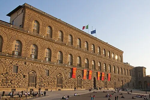 Pitti Palace Historic site, Centro Storico8.7 km N
-
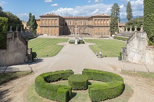 Boboli Gardens Attraction, Centro Storico8.4 km N
-
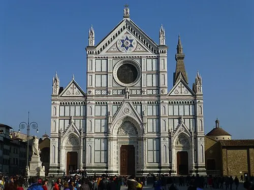 Basilica of Santa Croce Attraction, Centro Storico9.1 km N
-
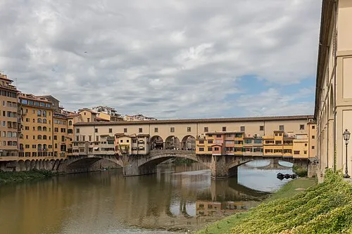 Ponte Vecchio Landmark, Centro Storico9 km N
-
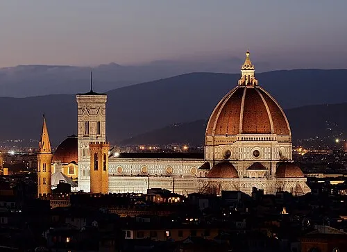 Basilica of Saint Mary of the Flower Attraction, Centro Storico9.6 km N
-
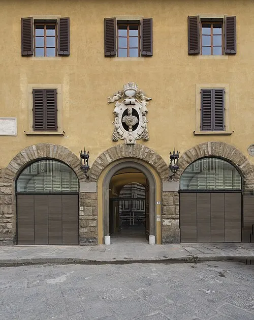 Museum of Opera of Saint Maria of Fiore Museum, Centro Storico9.6 km N
-
Casa Buonarroti Museum, Centro Storico9.2 km N
-
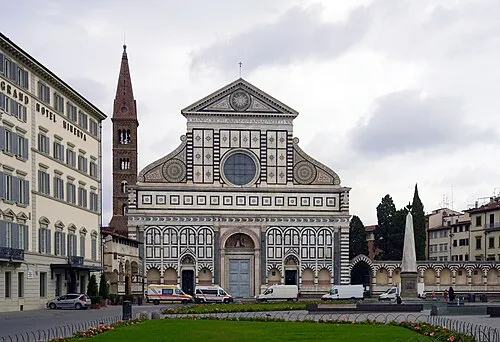 Basilica of Santa Maria Novella Attraction, Centro Storico9.8 km N
Sources & licences
Data last updated: