Lastra a Signa
Located in Province of Florence, Tuscany Coordinates: 43°46′17″ N 11°06′10″ E
- Population
- 20,294
- 20.3K
- Elevation
- 36 m
- above sea level
- Local time
- UTC+01:00
- Europe/Rome · UTC+01:00
- Places inside
- 17
- listed under Lastra a Signa
- Airports
- FLR Florence Airport, Peretola9 km
- PSA Pisa International Airport58 km
About Lastra a Signa
Lastra a Signa is a municipality. Location: Province of Florence, Tuscany. Population: 20,294. Elevation: 36 m. The best months to visit are May, October. The nearest airport is Florence Airport, Peretola (9 km). Nearby sights include Teatro Studio and Basilica of Santa Maria Novella.
Climate of Lastra a Signa
Best months for sightseeingBest months for sightseeing: May, October.
This month · November
A wet month
Day 15° · Night 6° · Rain 114 mm
- Hottest month
- July (day 31°)
- Coldest month
- January (night 3°)
- Wettest month
- November (114 mm)
- Driest month
- July (37 mm)
Bars: average monthly low and high temperature. Below: precipitation. Monthly averages for 1970–2000 at about 18 km resolution, adjusted for elevation. Highlighted months are mild and relatively dry. Source: WorldClim 2.1 (CC BY 4.0).
Show values as a table
| Month | Jan | Feb | Mar | Apr | May | Jun | Jul | Aug | Sep | Oct | Nov | Dec |
|---|---|---|---|---|---|---|---|---|---|---|---|---|
| Average high (°C) | 11° | 12° | 15° | 18° | 23° | 27° | 31° | 31° | 26° | 21° | 15° | 11° |
| Average low (°C) | 3° | 3° | 5° | 8° | 12° | 16° | 18° | 18° | 15° | 11° | 6° | 3° |
| Precipitation (mm) | 65 | 62 | 68 | 81 | 64 | 56 | 37 | 58 | 84 | 105 | 114 | 81 |
How to get to Lastra a Signa
The nearest airport is Florence Airport, Peretola (FLR), 9 km to the northeast as the crow flies. The nearest large city is Nice, 309 km to the west.
Airports
- Florence Airport, Peretola (FLR) Firenze (FI) 9 kmnortheast
- Pisa International Airport (PSA) Pisa (PI) 58 kmwest
- Bologna Guglielmo Marconi Airport (BLQ) Bologna 86 kmnorth
Nearby large cities
- Nice Population: 342.7K 309 kmwest
- Rijeka Population: 108K 317 kmnortheast
- Ljubljana Population: 272.2K 369 kmnortheast
- Innsbruck Population: 132.5K 389 kmnorth
Straight-line distances; road distances are longer. Airport data: OurAirports.
Day trips from Lastra a Signa
Within 100 km: 67 historic and cultural sites, 217 natural sites, 27 lakes, rivers and coasts.
0–25 km52 places
- Poggio di Iavello Mountain 22 kmN
- Monte Morello Mountain 16 kmNE
- I Fornelli Mountain 8 kmW
- Poggio Ferrato Mountain 17 kmN
25–60 km97 places
- Monte Vigese Mountain 48 kmN
- Monte Vasone Mountain 48 kmS
- Le Masse di Siena Mountain 56 kmS
- Monte Santa Croce Mountain 55 kmNE
60–100 km162 places
- Ultima Spiaggia Beach 98 kmS
- Mirollino Beach 98 kmS
- Altamarea Beach 98 kmSW
- Ultima Spiaggia Beach 96 kmSW
Straight-line distances.
Places in Lastra a Signa
17 places- 1 Lastra a Signa 11.5K
- 2 Ginestra Fiorentina 1.5K
- 3 Malmantile 1.3K
- 4 Quattro Strade 1.2K
- 5 Brucianesi 323
- 6 Inno 211
- 7 Belfiore 204
- 8 Stagno 130
- 9 La Luna 127
- 10 Marliano 78
- 11 Sant'Ilario 65
- 12 Ponte di Macinaia 62
- 13 Capannuccia 42
- 14 San Martino a Carcheri 32
- 15 Romania 29
- 16 Ponte Torto 25
- 17 La Lisca 20
Bar: population relative to the most populous place in this list.
Nearby attractions & nature
Everything nearby-
Teatro Studio Attraction, Scandicci6.2 km E
-
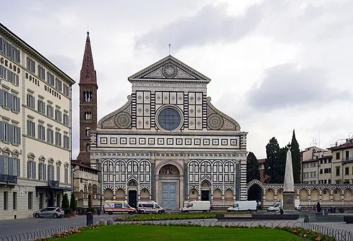 Basilica of Santa Maria Novella Attraction, Centro Storico12 km E
-
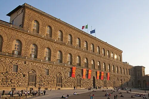 Pitti Palace Historic site, Centro Storico12 km E
-
I Fornelli Mountain, Carmignano8.2 km W
-
 Basilica of Saint Mary of the Flower Attraction, Centro Storico12 km E
-
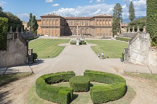 Boboli Gardens Attraction, Centro Storico12 km E
-
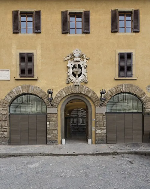 Museum of Opera of Saint Maria of Fiore Museum, Centro Storico12 km E
-
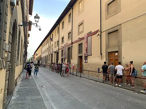 Galleria dell'Accademia Museum, Centro Storico13 km E
Sources & licences
Data last updated: