Montespertoli
Located in Province of Florence, Tuscany Coordinates: 43°38′39″ N 11°04′25″ E
- Population
- 13,474
- 13.5K
- Elevation
- 239 m
- above sea level
- Local time
- UTC+01:00
- Europe/Rome · UTC+01:00
- Places inside
- 36
- listed under Montespertoli
- Airports
- FLR Florence Airport, Peretola21 km
- PSA Pisa International Airport55 km
About Montespertoli
Montespertoli is a municipality. Location: Province of Florence, Tuscany. Population: 13,474. Elevation: 239 m. The best months to visit are May–June, September. The nearest airport is Florence Airport, Peretola (21 km). Nearby sights include Stadio Carlo Castellani and Pitti Palace.
Photos of Montespertoli
-
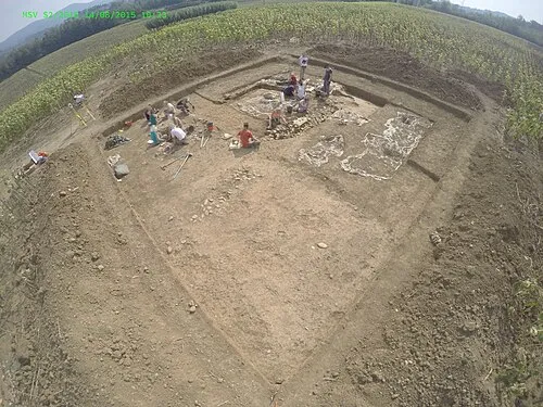
Molino San Vincenzo Dominik Hagmann · CC BY-SA 4.0

Climate of Montespertoli
Best months for sightseeingBest months for sightseeing: May–June, September.
This month · November
A wet month
Day 14° · Night 6° · Rain 109 mm
- Hottest month
- July (day 29°)
- Coldest month
- January (night 2°)
- Wettest month
- November (109 mm)
- Driest month
- July (34 mm)
Bars: average monthly low and high temperature. Below: precipitation. Monthly averages for 1970–2000 at about 18 km resolution, adjusted for elevation. Highlighted months are mild and relatively dry. Source: WorldClim 2.1 (CC BY 4.0).
Show values as a table
| Month | Jan | Feb | Mar | Apr | May | Jun | Jul | Aug | Sep | Oct | Nov | Dec |
|---|---|---|---|---|---|---|---|---|---|---|---|---|
| Average high (°C) | 10° | 11° | 14° | 17° | 22° | 26° | 29° | 29° | 25° | 19° | 14° | 10° |
| Average low (°C) | 2° | 2° | 4° | 7° | 11° | 14° | 17° | 17° | 14° | 10° | 6° | 3° |
| Precipitation (mm) | 64 | 61 | 65 | 76 | 62 | 53 | 34 | 53 | 80 | 100 | 109 | 79 |
How to get to Montespertoli
The nearest airport is Florence Airport, Peretola (FLR), 21 km to the northeast as the crow flies. The nearest large city is Nice, 307 km to the west.
Airports
- Florence Airport, Peretola (FLR) Firenze (FI) 21 kmnortheast
- Pisa International Airport (PSA) Pisa (PI) 55 kmwest
- Bologna Guglielmo Marconi Airport (BLQ) Bologna 101 kmnorth
Nearby large cities
- Nice Population: 342.7K 307 kmwest
- Rijeka Population: 108K 327 kmnortheast
- Ljubljana Population: 272.2K 381 kmnortheast
Straight-line distances; road distances are longer. Airport data: OurAirports.
Day trips from Montespertoli
Within 100 km: 143 historic and cultural sites, 238 natural sites, 31 lakes, rivers and coasts.
0–25 km34 places
- Poggio di Ricavo Mountain 25 kmSE
- I Fornelli Mountain 16 kmN
- Monte Calvarino Mountain 23 kmSE
- Monte Fiore Mountain 24 kmNW
25–60 km107 places
- Poggio di Iavello Mountain 36 kmN
- Spiagge bianche Beach 59 kmSW
- Bagno Aurora Beach 60 kmSW
- Monte Vasone Mountain 34 kmS
60–100 km271 places
- Poggio Mosconcino Mountain 92 kmS
- Parco della Rimembranza Natural site 98 kmS
- Parco di Villa Pizzetti Natural site 99 kmS
- Parco del fiume Ombrone Silvano Signori Natural site 99 kmS
Straight-line distances.
Places in Montespertoli
36 places- 1 Montespertoli 4.2K
- 2 San Quirico in Collina 728
- 3 Baccaiano 570
- 4 Ortimino 444
- 5 Montagnana 374
- 6 Lucignano 238
- 7 Fornacette 192
- 8 Poggio al Topo 93
- 9 Il Poggio 82
- 10 Gigliola 71
- 11 Fornace 69
- 12 Ghisone 63
- 13 Montegufoni 58
- 14 Vicchio 58
- 15 Turignano 57
- 16 Il Pino II 52
- 17 La Buca 51
- 18 Le Galvane 51
- 19 La Ripa 46
- 20 San Quirico 43
- 21 Trecento 43
- 22 Torraccia 40
- 23 Morcone 38
- 24 Poppiano 36
- 25 Momigiano 33
- 26 Monte Albino 33
- 27 Tresanti 33
- 28 Botinaccio 32
- 29 Castiglioni 32
- 30 Leoni 29
- 31 Lucardo 26
- 32 Quercione 20
- 33 Polvereto 15
- 34 La Torre 10
- 35 Molino del Ponte 4
Bar: population relative to the most populous place in this list.
Heritage & sights1
- Molino San Vincenzo · Historic site
Nearby attractions & nature
Everything nearby-
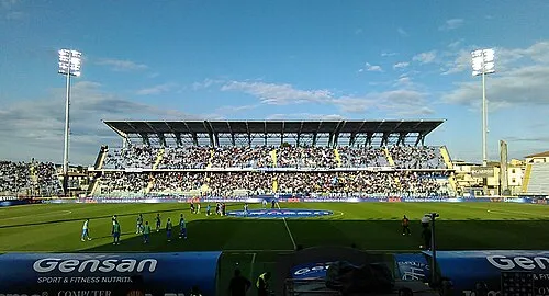 Stadio Carlo Castellani Landmark, Empoli13 km NW
-
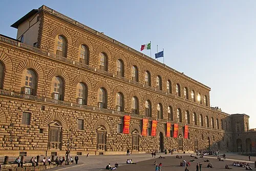 Pitti Palace Historic site, Centro Storico20 km NE
-
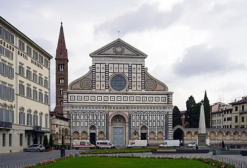 Basilica of Santa Maria Novella Attraction, Centro Storico20 km NE
-
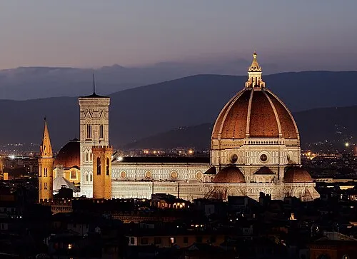 Basilica of Saint Mary of the Flower Attraction, Centro Storico21 km NE
-
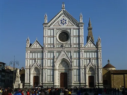 Basilica of Santa Croce Attraction, Centro Storico21 km NE
-
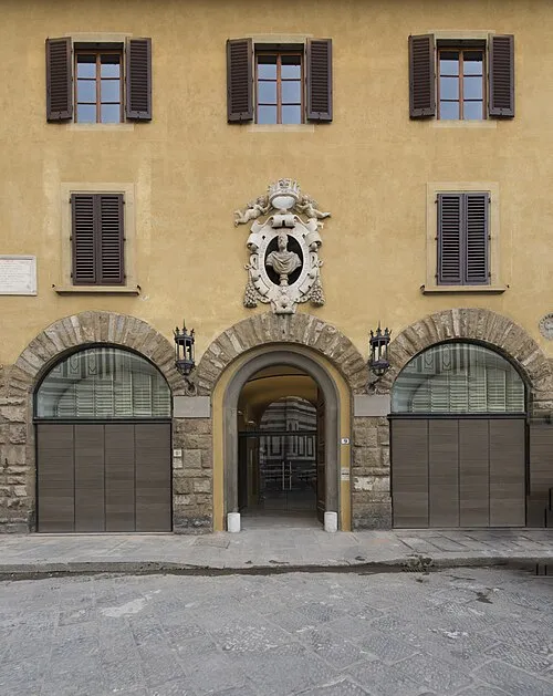 Museum of Opera of Saint Maria of Fiore Museum, Centro Storico21 km NE
-
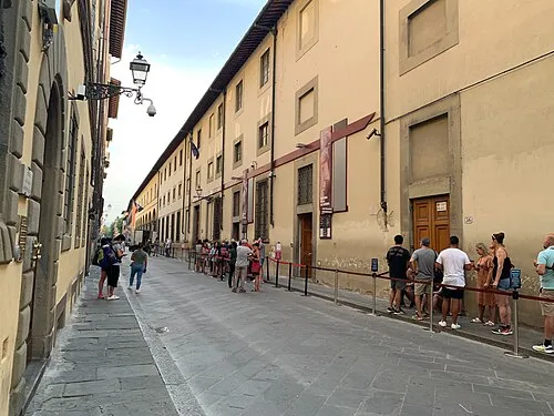 Galleria dell'Accademia Museum, Centro Storico21 km NE
-
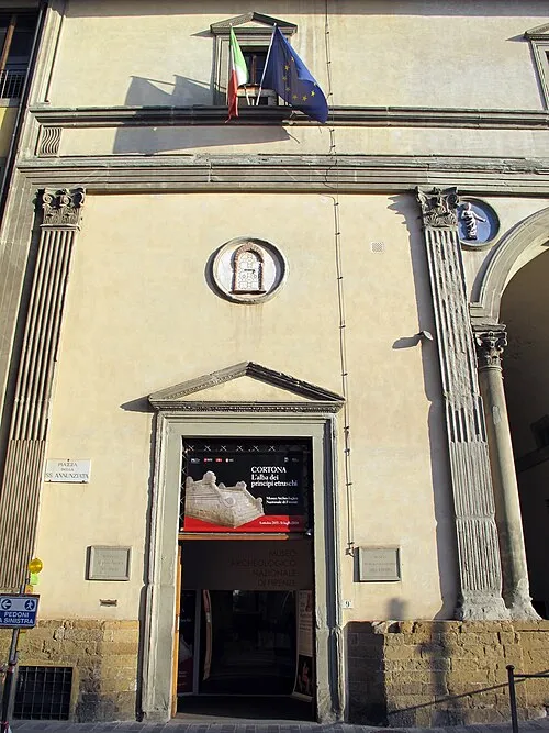 National Archaeological Museum Museum, Centro Storico21 km NE
Sources & licences
Data last updated: