- Population
- 29,223
- 29.2K
- Elevation
- 16 m
- above sea level
- Local time
- UTC+01:00
- Europe/Rome · UTC+01:00
- Places inside
- 17
- listed under Pontedera
- Airports
- PSA Pisa International Airport19 km
- FLR Florence Airport, Peretola49 km
About Pontedera
Pontedera is a municipality. Location: Province of Pisa, Tuscany. Population: 29,223. Elevation: 16 m. The best months to visit are May–June, September. The nearest airport is Pisa International Airport (19 km). Nearby sights include Leaning Tower of Pisa and Castello dei Vicari.
Climate of Pontedera
Best months for sightseeingBest months for sightseeing: May–June, September.
This month · November
A wet month
Day 15° · Night 7° · Rain 111 mm
- Hottest month
- July (day 30°)
- Coldest month
- January (night 3°)
- Wettest month
- October (118 mm)
- Driest month
- July (25 mm)
Bars: average monthly low and high temperature. Below: precipitation. Monthly averages for 1970–2000 at about 18 km resolution, adjusted for elevation. Highlighted months are mild and relatively dry. Source: WorldClim 2.1 (CC BY 4.0).
Show values as a table
| Month | Jan | Feb | Mar | Apr | May | Jun | Jul | Aug | Sep | Oct | Nov | Dec |
|---|---|---|---|---|---|---|---|---|---|---|---|---|
| Average high (°C) | 11° | 12° | 15° | 18° | 22° | 26° | 30° | 30° | 26° | 21° | 15° | 11° |
| Average low (°C) | 3° | 3° | 5° | 8° | 11° | 15° | 17° | 18° | 15° | 11° | 7° | 4° |
| Precipitation (mm) | 63 | 54 | 63 | 76 | 57 | 47 | 25 | 50 | 87 | 118 | 111 | 72 |
How to get to Pontedera
The nearest airport is Pisa International Airport (PSA), 19 km to the west as the crow flies. The nearest large city is Nice, 271 km to the west.
Airports
- Pisa International Airport (PSA) Pisa (PI) 19 kmwest
- Florence Airport, Peretola (FLR) Firenze (FI) 49 kmeast
- Marina di Campo Airport (EBA) Campo nell'Elba (LI) 105 kmsouth
Nearby large cities
- Nice Population: 342.7K 271 kmwest
- Rijeka Population: 108K 355 kmnortheast
- Toulon Population: 168.7K 386 kmwest
Straight-line distances; road distances are longer. Airport data: OurAirports.
Day trips from Pontedera
Within 100 km: 63 historic and cultural sites, 188 natural sites, 51 lakes, rivers and coasts.
0–25 km17 places
- Monte Cascetto Mountain 13 kmNW
- Poggio Lecceta Mountain 23 kmSW
- Monte La Poggia Mountain 24 kmSW
- Poggio Corbolone Mountain 22 kmSW
25–60 km131 places
- Poggio di Iavello Mountain 50 kmNE
- Cormorano Beach 47 kmS
- Cala del Leone Beach 31 kmSW
- Spiaggia di Calignaia Beach 32 kmSW
60–100 km154 places
- Cala Civette Beach 91 kmS
- Ultima Spiaggia Beach 82 kmS
- Mirollino Beach 80 kmS
- Calamoresca Beach 81 kmS
Straight-line distances.
Places in Pontedera
17 placesPontedera
Population: 19.5K

La Rotta
Population: 1.8K
Il Romito
Population: 1.2K

Treggiaia
Population: 1K

La Borra
Population: 755
Santa Lucia
Population: 729
- 7 Gello 396
- 8 Montecastello 231
- 9 Via del Pino 229
- 10 Le Pinete 106
- 11 Le Cantine 63
- 12 Tiro A Segno 42
- 13 Magazzini 41
- 14 La Porzia 40
- 15 Zona Industriale Gello 22
- 16 Pian dei Meini 20
- 17 Contrada Martinelli 8
Bar: population relative to the most populous place in this list.
Nearby attractions & nature
Everything nearby-
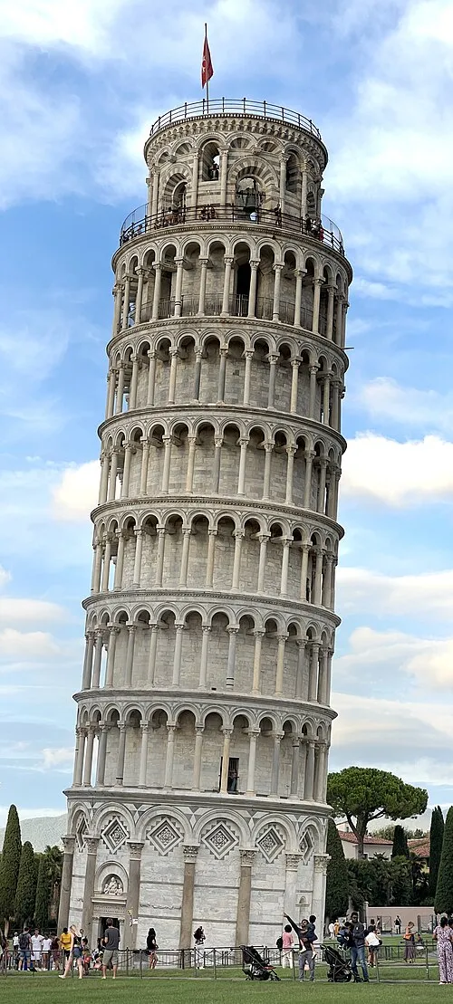 Leaning Tower of Pisa Landmark, Pisa20 km W
-
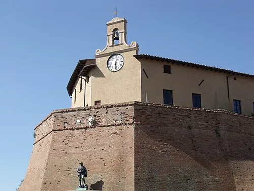 Castello dei Vicari Historic site, Casciana Terme Lari11 km S
-
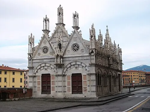 Santa Maria della Spina Attraction, Pisa20 km W
-
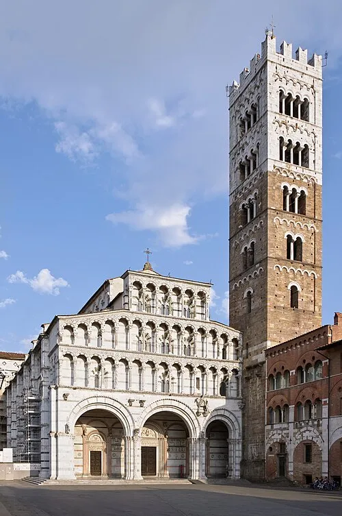 Lucca Cathedral Attraction, Lucca22 km NW
-
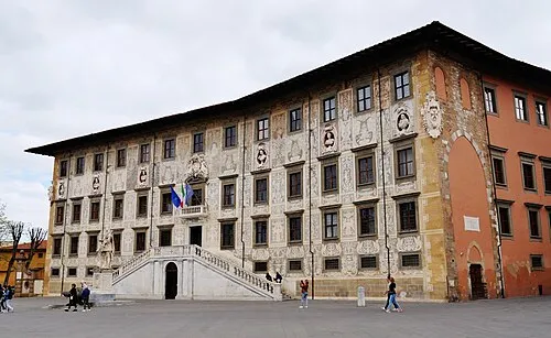 Palazzo della Carovana Historic site, Pisa20 km W
-
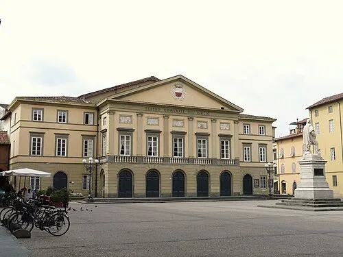 Teatro del Giglio Attraction, Lucca22 km NW
-
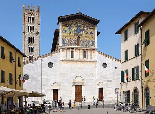 Basilica of San Frediano Attraction, Lucca23 km NW
-
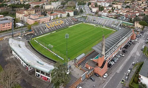 Stadio Porta Elisa Landmark, Lucca23 km NW
Sources & licences
Data last updated: